Introduction
Keskin is a district of Kırıkkale province. Keskin is currently the largest of all the districts, including the centre, by area. The average altitude of the district centre above sea level is 1,154 metres, and its area is 1,129 km².
History
It was founded in 1690–91 and was a district of the Kırşehir sanjak in the Ottoman period. After 1927 it was attached to Ankara because of its proximity to Ankara, and in 1990, when Kırıkkale became a province, it was attached to Kırıkkale.
Geography
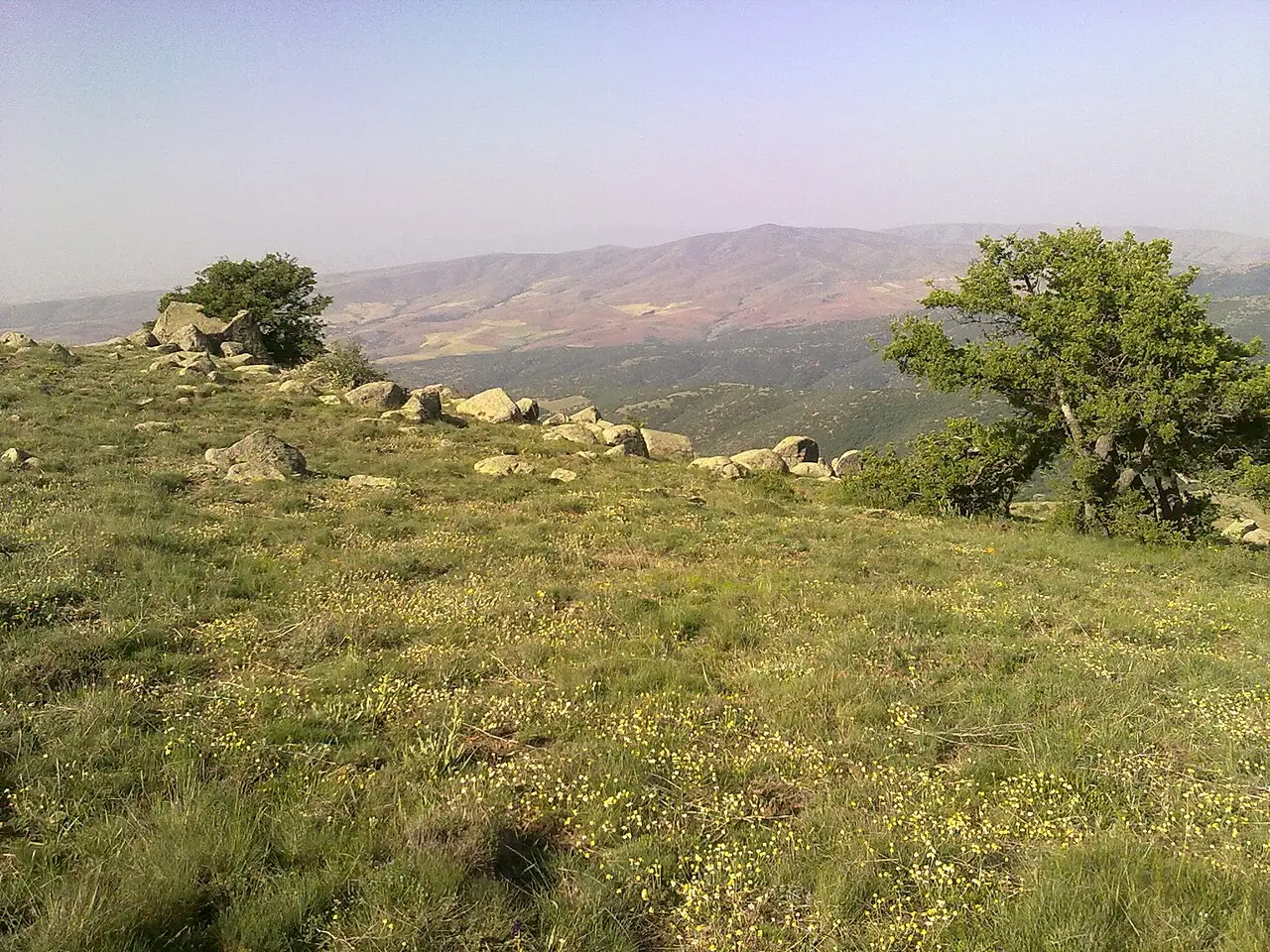
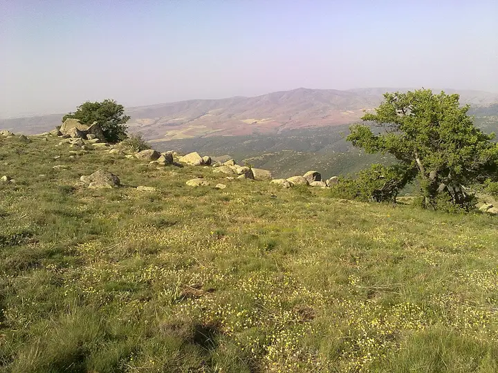
Keskin is surrounded by Delice to the east and south-east, Akçakent to the south, Kaman, Akpınar and Çiçekdağı to the south and south-west, Kırıkkale central district to the north, and Balışeyh to the north-east. It has a continental climate with cold, snowy winters and hot, generally dry summers. Dinek Mountain lies between Keskin and Balışeyh; at 1749 metres, it is the highest point of Keskin.
Culture
The halay dances of the Keskin and Balâ region are based on foot and hip movements.
Economy
The district’s economy is based on weaving, agriculture and livestock farming. The main agricultural products grown are cereals, pulses, forage crops, industrial crops, vegetables and fruit. Potatoes in particular play an important role in the district’s economy. In livestock farming, large and small livestock are raised alongside poultry, beekeeping, fishing and ostrich farming.
History and Culture
Keskin was founded in 1690 with the settlement of the Bozulus Turkmens. Keskin was attached to Kırıkkale when it became a province in 1990. The gunpowder factory in Keskin produced weapons and ammunition during the War of Independence and transported them to the front. The film Once Upon a Time in Anatolia by Nuri Bilge Ceylan was shot in Keskin.
Highlights
Keskin district is set on the slopes of At and Kartal hills, to the south of Dinek Mountain. In the Kibrithane building, 50,000 bullets a day were produced during the War of Independence.