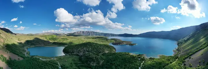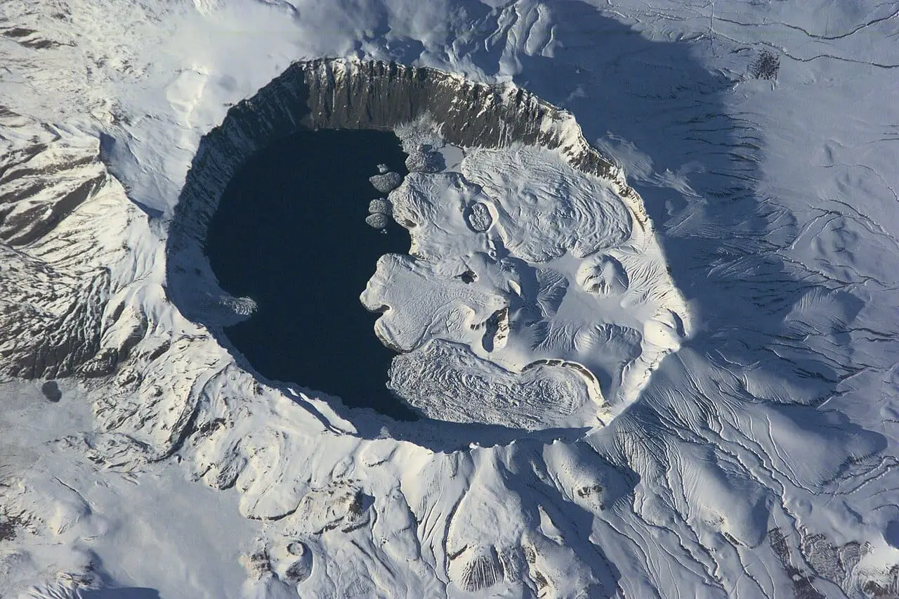
7 places to visit in the Tatvan district of Bitlis: Nemrut Volcano, Nemrut Crater Lake and Lake Van Shore. Plan your trip to Tatvan with local food, practical tips and transport information.
Location and Access
Tatvan is a district of Bitlis, on the western shore of Lake Van in the Eastern Anatolia Region. It is larger than Bitlis, the province to which it belongs, in both population and area. The district has 100 km of shoreline on the western side of Lake Van and covers 1,885 km². Its location at the junction of the Diyarbakır–Van, Elazığ–Van, Siirt–Bitlis and Ağrı land routes has contributed to its rapid development.
History
The known history of Tatvan goes back about five thousand years, and various finds dating to the 3rd millennium BC exist. The Urartians dominated Tatvan for three centuries, together with Van and its surroundings. The name of the town first appears in Armenian sources of the 6th century as Tadvan or Dadvan, and in the 6th and 7th centuries it was the centre of the Pıznuni dynasty. Tatvan was incorporated into the Islamic state in the time of Umar, and later came under the rule of the Shah-i Armen, whose centre was in Ahlat. In the 15th century the Aq Qoyunlu, and later the Sharafkhan beys who ruled in Bitlis, controlled Tatvan’s port. Ottoman rule was established after the Battle of Chaldiran in 1514; it ended in the early 17th century and was re-established in the 1840s.
Geography
Nemrut Mountain, at 2,878 m, is the highest point in the district, and there are three lakes in its crater mouth.
History and Culture
The name Tatvan is Armenian, meaning the town of the Dadik/Tatik land. The name of the settlement appears in Armenian sources of the 6th century. In 1929, Tatvan was attached to the Van province rather than Muş, to which Bitlis had belonged.
Last updated: