 Photo: HALUK COMERTEL (CC BY 3.0) · Source
 7 places to visit in the Keban district of Elazığ: Keban Dam, Keban Castle and View of Lake Keban. Plan your trip to Keban with local food, practical tips and transport information.
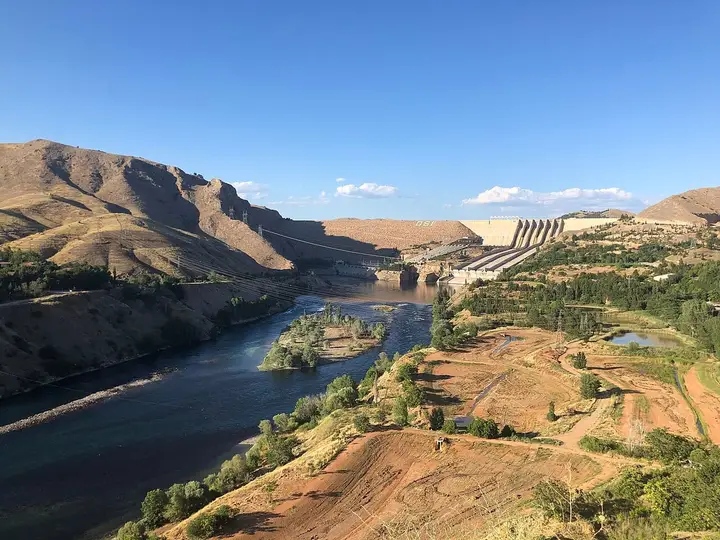
Keban is one of the 11 districts of Elazığ. The Keban Dam hydroelectric power plant, which meets Eastern Anatolia’s electricity needs, lies within the district. The district covers 641 km² and has an average elevation of 798 metres above sea level.
Geography
Keban lies 46 km west of Elazığ city centre. To the east lies Elazığ, to the west Arapgir in Malatya, to the north Çemişgezek in Tunceli, to the north-west Ağın, and to the south the district of Baskil.
Climate
The district lies in a continental climate zone, and its climate has changed with the dam.
Economy
The economy of the district is based on farming and livestock. In recent years, salmon and trout farming has come to the fore in the Keban and Karakaya dam lakes. Fish from Keban is exported abroad.
History and Culture
Rescue excavations carried out during the construction of the Keban Dam have shed light on Keban’s history. Chalcolithic settlements can be seen in Keban and its surroundings. The first Turkish rule in the region began in the Seljuk period. In 1515 Harput and its environs were conquered, after which the army turned towards Diyarbakır.
Highlights
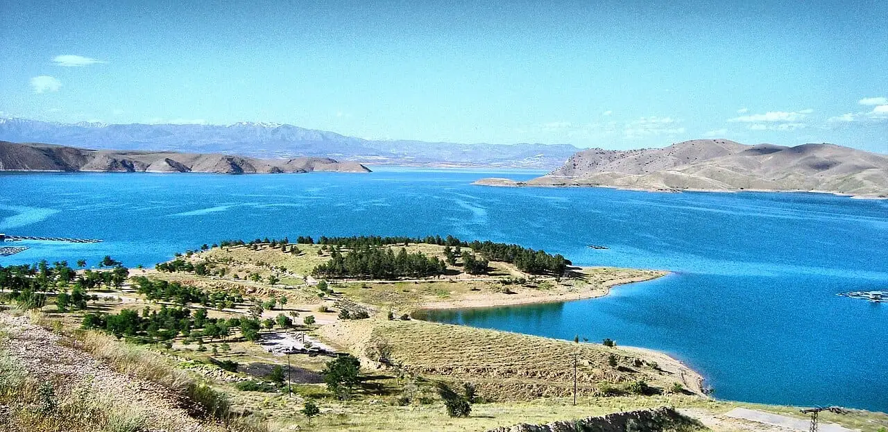
Lake Keban is 125 km long and, with a volume of 30.1 billion m³, is Türkiye’s second-largest artificial lake. Denizli Caravanserai was built by Murat IV between 1635 and 1638. The Seljuk commander Çağrı Bey entered the region in 1017 with an army of 3,000 men.
Last updated: