Abdulharap Stream and Çat Dam
Çat Dam was built on the Abdulharap Stream, the district's main watercourse.
View on map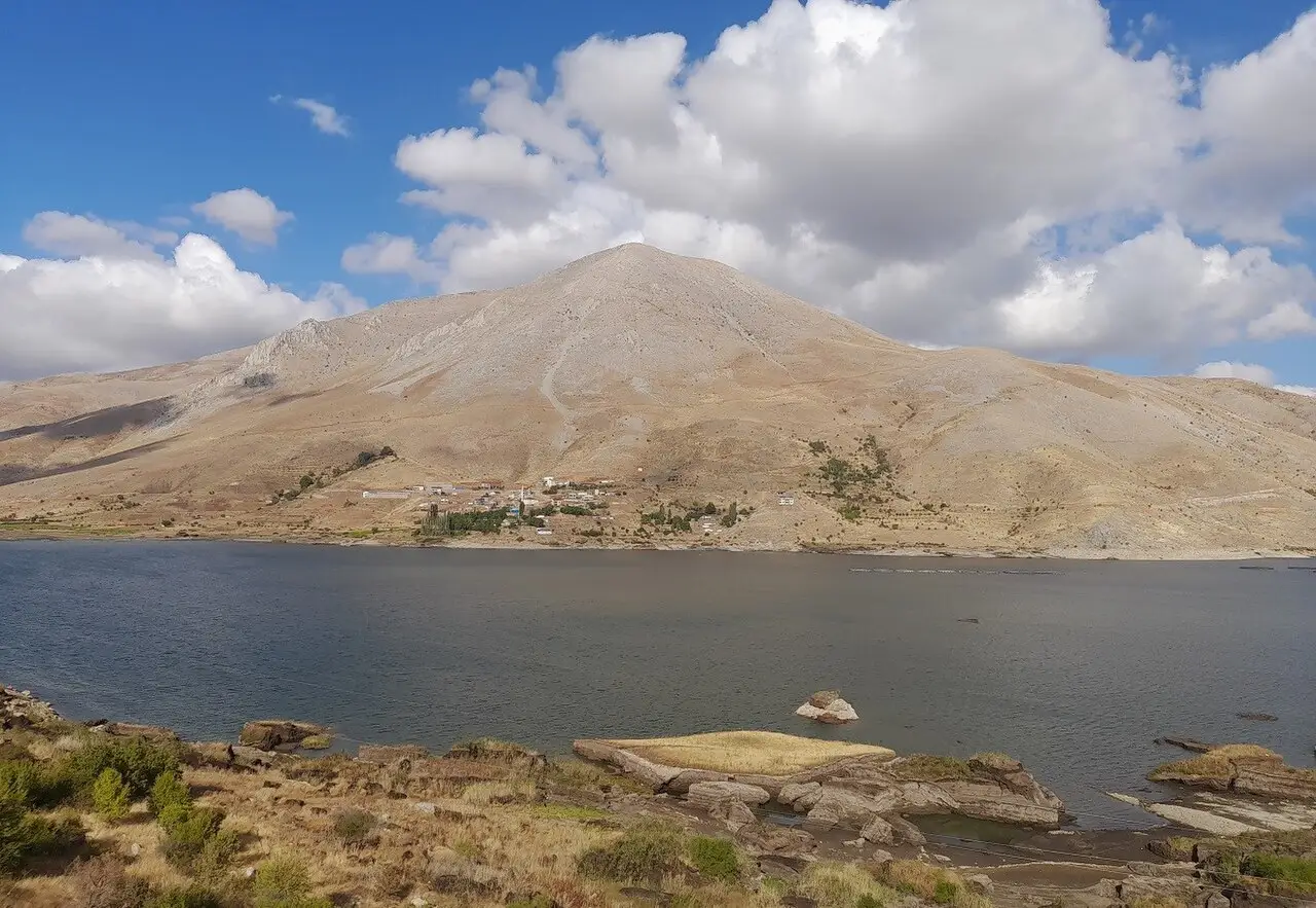
4 places to visit in the Çelikhan district of Adıyaman: Abdulharap Stream and Çat Dam, Akdağ and Çelikhan Highland Pastures. Plan your trip to Çelikhan with local food, practical tips and transport information.
The district covers 444 km², lies at an altitude of 1,396 m and has a population of 14,530. It is 56 km from Adıyaman city centre and 60 km from Malatya.
The district is mountainous and rugged, part of a range of high mountains that continue the southeastern Taurus. Its main watercourses are the Bulam and the Abdulharap Stream; Çat Dam was built on the Abdulharap Stream.
Çelikhan has been ruled over the centuries by many states, including the Hittites, Assyrians, Persians, Macedonians, Seleucids, Romans and Byzantines. In 1954 it separated from the Ortaköy subdistrict of Malatya’s central district and gained district status.
Most of the district’s population makes its living from agriculture and livestock farming.
Çelikhan was badly damaged in the 1869 earthquake, when many houses around the Merkez Mosque were destroyed. On 1 June 1954 Çelikhan was attached to Malatya province, and on 14 June 1954 it was transferred to Adıyaman province. The Çelikhan region became part of Ottoman territory after the Battle of Koçhisar in 1516. Çelikhan was under the rule of many states, from the Hittites to the Byzantines.
Last updated:
Çat Dam was built on the Abdulharap Stream, the district's main watercourse.
View on mapAkdağ, the highest mountain in the district, approaches 2,700 metres and defines Çelikhan's skyline. In summer, roads climb to its highland pastures, offering cool air and wide valley views.
View on mapThanks to its high altitude, the land around Çelikhan stays green all summer, ringed by highland pastures. Where livestock grazing continues, these areas are ideal for a cool day away from the heat of Adıyaman.
View on map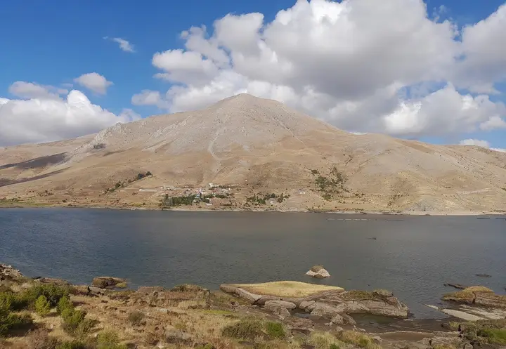
While you are in Çelikhan, you can also see the highlights of Adıyaman province. These places are in other districts; Çelikhan is about 56 km from the provincial centre.
The emblematic raw kofte of Adıyaman, made by kneading fine bulgur with pepper paste and spices for a long time. It is also a common dish on Çelikhan tables.
Keşkek, made by slow-cooking pounded wheat with meat, is an essential dish at weddings and religious holiday feasts.
The tradition of moving up to the highland pastures in summer is a way of life that still survives in Çelikhan's villages.
The district's economy rests largely on agriculture and livestock farming.
Çelikhan is 56 km from Adıyaman city centre. Located on the Malatya–Adıyaman highway, the district is about 60 km from Malatya.
The main highlights in Çelikhan are 4 places: Abdulharap Stream and Çat Dam, Akdağ, Çelikhan Highland Pastures and Çat Dam.
Adıyaman Çiğ Köftesi and Keşkek are the standout dishes on Çelikhan tables.
Çelikhan is known for Çelikhan Tobacco and highland culture. It is a product registered with TÜRKPATENT as a protected designation of origin.
Çelikhan is 56 km from Adıyaman city centre. Located on the Malatya–Adıyaman highway, the district is about 60 km from Malatya.
Suggested visit length: half a day. Best time to visit: June–September.