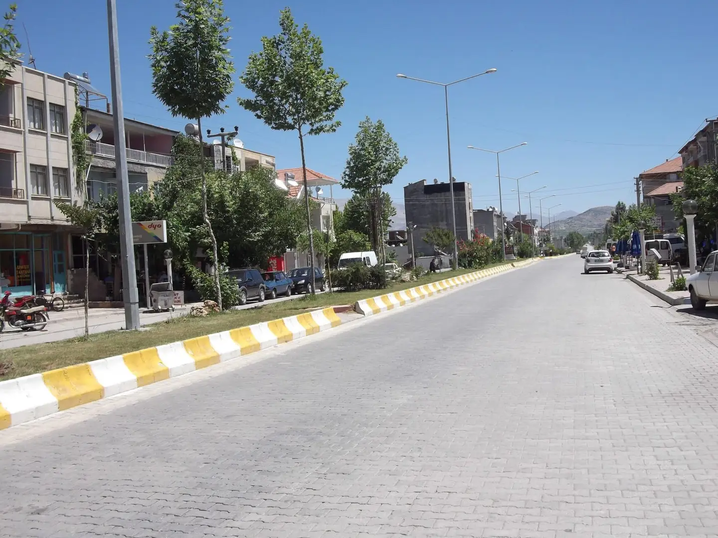
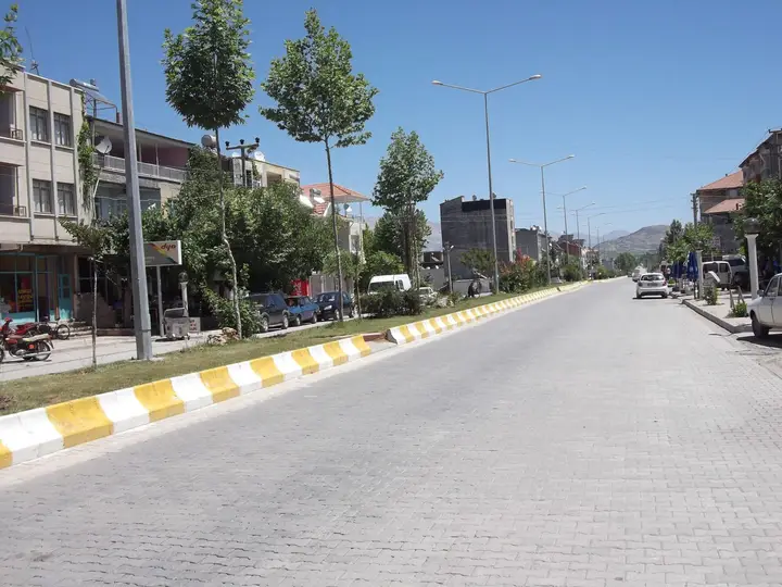
Gölbaşı is a district of Adıyaman province. The district covers an area of 800 km², has an average elevation of 900 m and a population of 47,917. It lies west of Adıyaman and is bordered by Malatya, Besni and Tut districts, and shares borders with Gaziantep and Kahramanmaraş provinces.
Geography
The district sits at a junction on the State Highway that links the Black Sea and Eastern Anatolia to the Mediterranean, connecting the regions. The district consists of 30 villages and 3 towns; its name comes from the phrase “Gölün Başı” (head of the lake).
History
Gölbaşı was severely damaged in the earthquakes of 6 February 2023; the new town centre will be built a few kilometres away on stable ground.
Economy
The district’s economy is based mainly on farming and livestock rearing; drying grapes and walnuts are particularly important. Drying grapes known as Besni grapes hold an important place in the regional economy.
History and Culture
Gölbaşı became a district on 1 April 1958, separated from Besni, and was attached to Adıyaman province. Settlement in the district centre began in 1934 with the arrival of the railway. The new town centre of the district, which was destroyed in the 6 February 2023 Kahramanmaraş earthquakes, will be built a few kilometres away on stable ground.
Highlights
In 1954 it became a village attached to the district of Besni, and in 1958 it was given district status. The lakes of Gölbaşı, Azaplı and İnekli are interconnected.