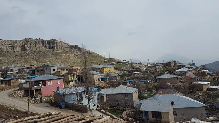
 Photo: Semsûrî (CC BY-SA 4.0) · Source
 Derecik Valley
The stream valley that gives the district its name, with lush vegetation and mountain views, makes a suitable route for nature walks.
View on map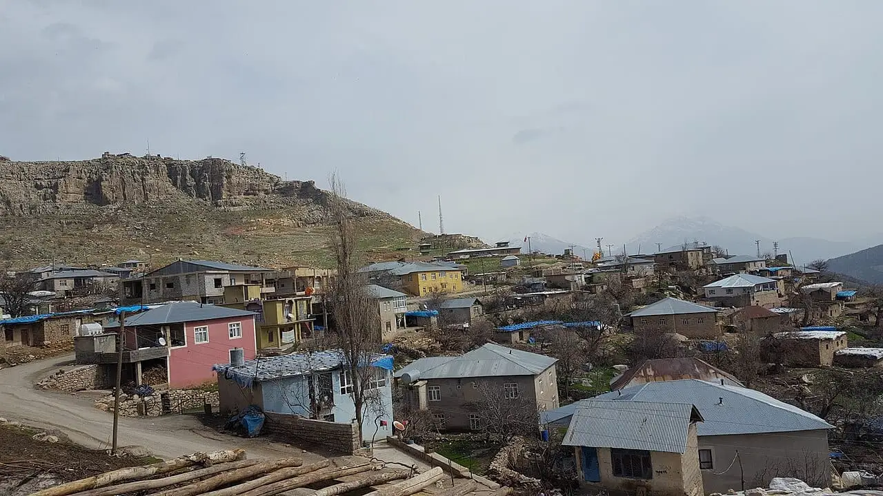 Photo: Semsûrî (CC BY-SA 4.0) · Source
 4 places to visit in the Derecik district of Hakkari: Derecik Valley, Derecik Mountains and Balkaya Wind Cave. Plan your trip to Derecik with local food, practical tips and transport information.
Derecik is a district of Hakkari Province, located on the Northern Iraq border. With an area of 435 km² and a population of 24,869, the district lies at an elevation of 805 metres. It is 190 kilometres from Hakkari city centre and 65 kilometres from Şemdinli.
It became a town with municipal status on 25 October 1995. Until 2018 it remained a town attached to Şemdinli; on 18 October 2018 it was raised to a district attached to Hakkari.
Derecik became a town with municipal status on 25 October 1995. It became a district attached to Hakkari on 18 October 2018. The district has 9 neighbourhoods, 4 villages and 19 hamlets.
Last updated:
Photo: Semsûrî (CC BY-SA 4.0) · Source The stream valley that gives the district its name, with lush vegetation and mountain views, makes a suitable route for nature walks.
View on mapThe high mountains surrounding the district offer routes suitable for trekking and mountaineering. Plateau farming is practised in summer. From the summit, the district centre and surrounding villages can be seen from above.
View on mapA cave on Balkaya (Govend) Mountain in Derecik town, discovered by mountaineers. According to reports, it is known as the Wind Cave because a constant wind blows at its entrance.
View on mapA mountain in Derecik district; according to the municipality's website, one of the most striking mountains in the region.
View on mapWhile you are in Derecik, you can also see the highlights of Hakkari province. These places are in other districts; Derecik is about 60 km from the provincial centre.
A regional kebab made by seasoning lamb with special spices and cooking it over charcoal. It is Derecik's traditional dish.
Bread baked in a clay tandır oven, the staple of Derecik's everyday cooking.
Derecik lies in the mountainous interior of Hakkari and maintains traditional mountain village life. Livestock farming and plateau farming are the basic way of life in the region.
Derecik's economy is based on livestock farming. Small livestock farming is the main source of livelihood. Cross-border trade is also important.
Derecik is approximately 60 km from Hakkari city centre. It is reached by road. Yüksekova Airport is approximately 100 km away.
The highlights of Derecik are 4 places: Derecik Valley, Derecik Mountains, Balkaya Wind Cave and Balkayalar Mountain.
Derecik Kebabı and Tandır Ekmeği are the flavours to look out for on Derecik's tables.
Derecik is known for Derecik Honey and its mountain village life. Honey obtained from mountain flowers is known for its organic character.
Derecik is approximately 60 km from Hakkari city centre. It is reached by road. Yüksekova Airport is approximately 100 km away.
Suggested visit length: half a day. Best time to visit: summer months (June to September).