Around Karain Cave
Near the Korkuteli boundaries are various caves and rock shelters from the Palaeolithic Age. These areas bear traces of some of Anatolia's earliest human settlements.
View on map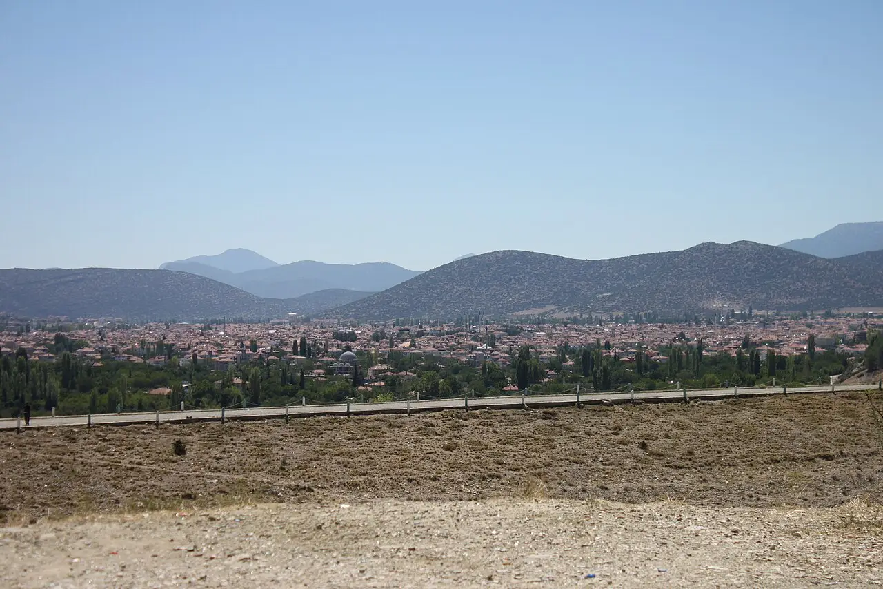 Photo: Christian1311 (CC BY-SA 4.0) · Source
 11 places to visit in the Korkuteli district of Antalya: Korkuteli Plain, Around Karain Cave and Historic Houses of Korkuteli. Plan your trip to Korkuteli with local food, practical tips and transport information.
The district takes its name from the Ottoman prince Sultan Korkut, who was educated here and served as a lala (tutor) to him.
In sources, Korkuteli’s former name is given as İsinda. The ancient city of İsinda in Pisidia is believed to have been within the boundaries of today’s Yazır neighbourhood. In 189 BC, a Roman unit under Manlius reached Salihli, Denizli, Horzum and İsinda. To keep alive the memory of Prince Korkut, by a decision taken in 1915 the name was changed from İstanoz to “Korkuteli”.
The district covers 2,433 km² and has an average elevation of 993 metres above sea level. A Mediterranean climate prevails over 1/4 of the district, and a continental climate of the Lakes Region over 3/4. The terrain is made up of plains and small hills on the Mediterranean-facing side of the Bey Mountains, which form the start of the Taurus range.
The district’s economy is based on farmland, pasture and forest and scrubland areas. Most local people make their living from livestock and crop production.
The name Korkuteli was adopted by a decision of the Provincial Council in honour of Şehzade Korkut. The district was taken from the Byzantines in 1207 during the reign of the Seljuk ruler Gıyaseddin Keyhüsrev. The name of the Alaaddin quarter is known to have been given after Sultan Alaaddin Keykubat. The water tunnel of the Alaaddin Kışla quarter now lies beneath Korkuteli Dam. The Yörük people hold plateau festivals in the Yazır, Avdan, İmecik and Beğiş neighbourhoods. Because of its cultivated mushroom production, Korkuteli is known as the “mushroom capital”.
Last updated:
Near the Korkuteli boundaries are various caves and rock shelters from the Palaeolithic Age. These areas bear traces of some of Anatolia's earliest human settlements.
View on mapIn the district centre there are traditional stone and timber houses from the Ottoman period. Lined up along narrow streets, these houses are preserved examples of Toros regional architecture.
View on mapA structure carved out of stone, located near Cirim Gorge in the Alaaddin Kışla quarter.
View on mapLocated in the Alaaddin Kışla quarter. From its ruins, it is understood to have been a major work.
View on mapA stone madrasa commissioned by the Hamitoğulları dynasty, located in Korkuteli.
View on mapRemains of water channels in Sülekler neighbourhood, believed to have carried calcareous (limey) water.
View on mapBuilt in the Ottoman period, the Grand Mosque is notable for its stone craftsmanship and timber minbar. It is the oldest place of worship in the district centre.
View on mapTombs based on local legend; the sources mention the names Yarandede and Kurtbaba.
View on mapA 457,000 m² recreation and picnic area run by Korkuteli Municipality, with go-karts, paintball and a caravan camping area.
View on mapWhile you are in Korkuteli, you can also see the highlights of Antalya province. These places are in other districts; Korkuteli is about 65 km from the provincial centre.
Cheese or potato placed between thin sheets of yufka and cooked on a griddle, Korkuteli böreği is the district's best-known dish.
Made by boiling wheat and meat for a long time and then pounding them, keşkek is the traditional dish of wedding and holiday tables. It is prepared in a communal spirit and is an indispensable part of wedding feasts.
Lamb slow-cooked in a clay tandır oven, this kebab is an important flavour of Korkuteli's rural cuisine.
Made from goat's milk boiled over a wood fire until the bottom catches. It is an ice cream originally from Korkuteli.
A restaurant in Korkuteli prepares 60 different dishes using only mushrooms.
A pear variety grown in Korkuteli and the surrounding area, with a geographical indication.
Mould-ripened sheep's cheese, matured in a cave.
The district's name comes from the Ottoman prince Korkut. Prince Korkut, known for his love of science and art, lived in the district.
The festival held during the rose harvest brings life to the district with rose-picking activities, concerts and cultural programmes.
Korkuteli's economy is based on farming, livestock and rose oil production. Wheat, barley and roses are the main agricultural products. Small livestock farming is an important source of income.
Korkuteli is 65 km from Antalya city centre. It lies on the Antalya–Burdur road. There are regular minibus services from Antalya.
Top 11 places in Korkuteli: Korkuteli Plain, Around Karain Cave, Historic Houses of Korkuteli, Korkuteli Grand Mosque, Monk's House, Sultan Alaaddin Mosque, Stone Madrasa, Kışla Hammam Ruins, Porsuyu Ruins, Korkuteli Tombs (Yarandede, Kurtbaba) and Korkuteli Recreation and Picnic Area.
Korkuteli Böreği, Keşkek, Tandır Kebabı and Yanık Dondurma are the highlights on Korkuteli's tables.
Korkuteli is known for Korkuteli Karyağdı Armudu and the Korkut Ata tradition. It is a product registered as a protected designation of origin with TÜRKPATENT.
Korkuteli is 65 km from Antalya city centre. It lies on the Antalya–Burdur road. There are regular minibus services from Antalya.
Suggested visit length: 1 day. Best time to visit: spring (rose harvest).