Çerkeş Castle Ruins
Byzantine-period castle ruins on the hill above the district centre. The castle, also used in the Seljuk and Ottoman periods, offers views of the surroundings.
View on map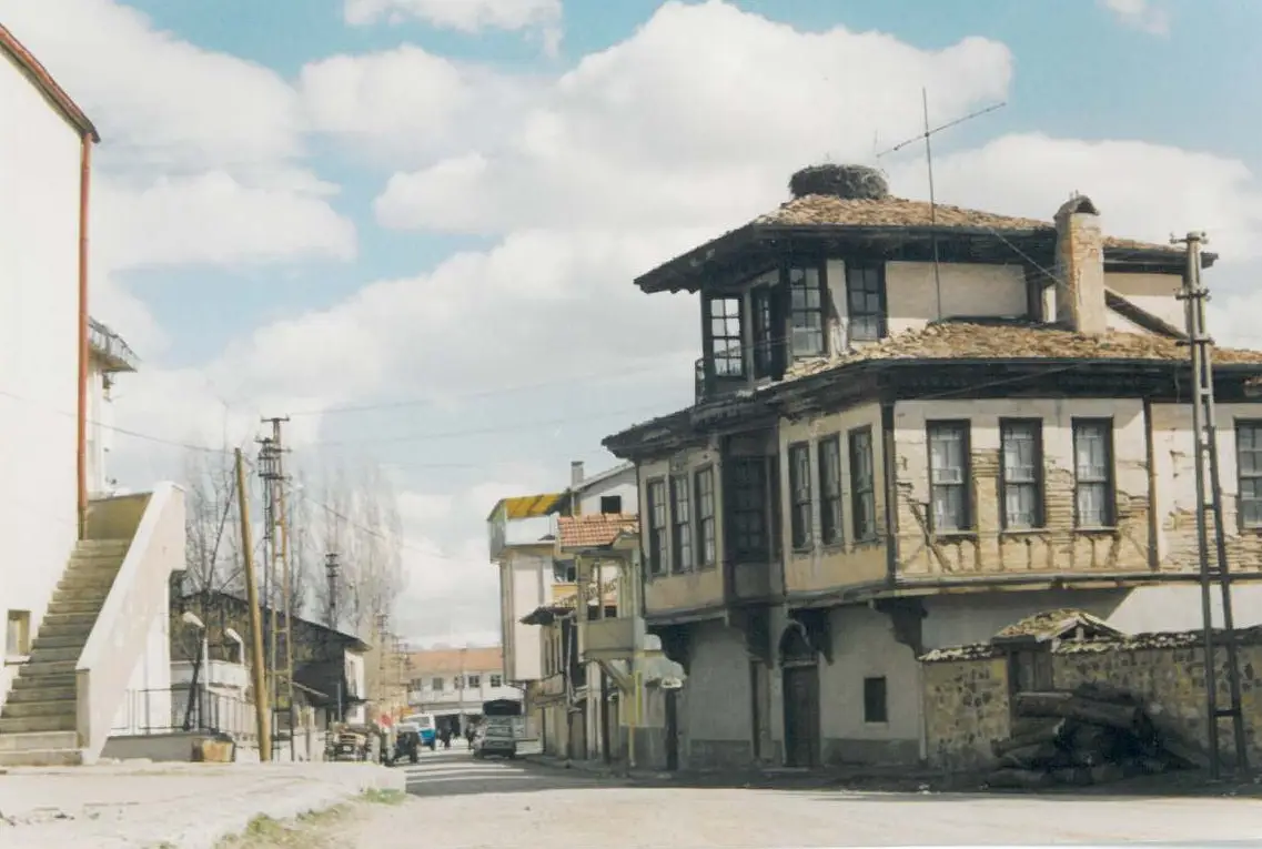 Photo: Halit Edip Özcan (CC BY-SA 3.0) · Source
 9 places to visit in the Çerkeş district of Çankırı: Çal Plateau, Derviş Tepe and Çerkeş Castle Ruins. Plan your trip to Çerkeş with local food, practical tips and transport information.
Çerkeş, the district centre of Çankırı province, was founded on the plain where the Ulusu Stream flows to the south. The Çerkeş district lies at an elevation of 1,131 metres above sea level.
The district is surrounded by Ovacık to the north, Bayramören to the north-east, Atkaracalar to the east, the Orta districts to the south-east, Bolu and Karabük to the west, and Ankara province to the south. Among the district’s main mountains, Işık Mountain, at 2,015 metres, lies to the south, and Karataş and Kütüklü mountains, at 1,875 metres, lie to the south-west. The district centre is 85 km from the provincial centre of Çankırı and 128 km from Ankara.
There are two accounts of the district’s name: one is the name ‘Ciharköşe’, from the fact that it lay at a junction of four roads because of the fertility of the Ulusu Stream; the other is ‘Çeriçeken’, meaning the place where soldiers gathered.
Çerkeş has the climatic characteristics of both regions, as it lies at the southern edge of the Western Black Sea region and the northern edge of the Central Anatolia region, and a continental climate prevails.
The main livelihoods of the district’s people are crop production and livestock farming. Beekeeping is very well developed in the district, and Çerkeş honey is preferred across Türkiye for its distinctive qualities.
Çerkeş became a district in 1860. It is said that the district was called Ciharköşe because it lies at a junction of four roads. Çerkeş lies in an earthquake zone, and has been affected by earthquakes that have caused heavy damage in the past.
Last updated:
Byzantine-period castle ruins on the hill above the district centre. The castle, also used in the Seljuk and Ottoman periods, offers views of the surroundings.
View on mapA historic hammam built in the Ottoman period, it is one of the examples of traditional Turkish hammam architecture. The restored building is open to visitors.
View on mapA bridge in the village of Akbaş in Çerkeş, over the Melan Stream; it was built at the beginning of the 20th century.
View on mapA mosque built in the Ottoman period, it is the largest and oldest place of worship in the district centre. It stands out for its stonework and domed structure.
View on mapThe plateau in the north of the district is favoured in the summer months for its cool climate and green meadows. It has areas suitable for picnics and walking.
View on mapA stream in the south of Çerkeş, flowing across the plain on which the district centre was founded.
View on mapWhile you are in Çerkeş, you can also see the highlights of Çankırı province. These places are in other districts; Çerkeş is about 55 km from the provincial centre.
Çerkeş Flower Honey was registered as a protected designation of origin on 7 January 2026 (TÜRKPATENT registration no. 1811). Product group: honey. Registered by: Çerkeş Municipality.
Çerkeş Lokumu was registered as a protected geographical indication on 3 July 2024 (TÜRKPATENT registration no. 1607). Product group: bakery and pastry products, dough products, desserts. Registered by: Çerkeş Municipality.
Çerkeş Pırasa Dolması was registered as a protected geographical indication on 7 March 2024 (TÜRKPATENT registration no. 1557). Product group: dishes and soups. Registered by: Çerkeş Municipality.
Çerkeş Sırma Baklavası was registered as a protected geographical indication on 9 February 2024 (TÜRKPATENT registration no. 1539). Product group: bakery and pastry products, dough products, desserts. Registered by: Çerkeş Municipality.
The district takes its name from the Circassian communities. The cultural heritage of the Circassian families who migrated from the Caucasus in the 19th century is still kept alive in its cuisine and traditions.
In the villages of Çerkeş, communal work by imece (mutual aid), shared threshing and wedding traditions are still maintained.
The economy of Çerkeş is based on agriculture and livestock farming. Wheat, barley and sugar beet are the main agricultural products. Large and small livestock farming is widespread, and dairy products are produced. There is small-scale trade in the district centre.
Çerkeş lies 55 km from Çankırı city centre. It is on the Ankara-Kastamonu highway. There are regular minibus services from Çankırı.
The top 9 places in Çerkeş are: Çal Plateau, Derviş Tepe, Çerkeş Castle Ruins, Çerkeş Ulu Mosque, Kadınçayırı Plateau, Çerkeş Hammam, Akbaş Village Bridge, Ulusu Creek and Işık Mountain.
Çerkeş Flower Honey, Çerkeş Lokumu (Turkish delight), Çerkeş Pırasa Dolması (stuffed leek) and Çerkeş Sırma Baklavası (baklava) are the standout dishes on Çerkeş's tables.
Çerkeş is known for Çerkeş Badıma Bükmesi and Circassian Culture. It is a protected geographical indication product registered with TÜRKPATENT.
Çerkeş lies 55 km from Çankırı city centre. It is on the Ankara-Kastamonu highway. There are regular minibus services from Çankırı.
Suggested length of visit: 1 day. Best time to visit: spring and summer.