12 places to visit in the Kaynaşlı district of Düzce: Topuk Yaylası (Topuk Plateau), Kuru Göl (Kuru Lake) and Balıklı Yaylası (Balıklı Plateau). Plan your trip to Kaynaşlı with local food, practical tips and transport information.
Kaynaşlı is a district of Düzce Province, which gained provincial status in 1999. The district covers 237 km² and has an average elevation of 296 metres above sea level.
History
Kaynaşlı was officially recognised as a district of Düzce Province in 1999. The epicentre of the Düzce earthquake of magnitude 7.2, which struck on 12 November 1999 at 18:57, was in Kaynaşlı.
Geography
Kaynaşlı is built in a valley that extends as the eastern continuation of the Düzce Plain up to the foothills of Bolu Mountain. The highest peaks of the district are Menekşe Tepe (1,577 metres) and the Bolu Mountain ridge (790 metres). Beyond the edge of the plain, high hills and mountainous terrain are found. The Black Sea climate prevails: summers are cool, winters are cold, and most rainfall falls in spring and autumn.
Culture and Tourism
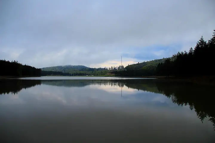
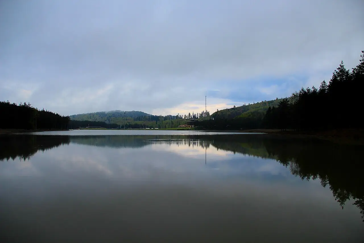
The Topuk Plateau facilities belonging to the Fenerbahçe Sports Club are within the district boundaries. In the north of the district, Kuru Lake lies within the National Parks.
History and Culture
The Kaynaşlı sub-district was founded in 1930. Kaynaşlı became a district of Düzce Province by a Decree Having the Force of Law dated 9 December 1999. The epicentre of the 12 November 1999 Düzce earthquake was Kaynaşlı.
Highlights
The long history of Kaynaşlı is considered together with the history of the Düzce–Bolu region, in the Bithynian, Roman–Byzantine, Ottoman and Republican periods. Kaynaşlı is an important tourist hub on the D-100 and TEM motorways, on the Istanbul and Ankara routes.
Last updated: