3 places to visit in the Köse district of Gümüşhane: Köse Dam, Köse Mountain and Köse Plateaus. Plan your trip to Köse with local food, practical tips and transport information.

Share with friends

General Information

The district covers an area of 353 km².

History

In the Ottoman tahrir register of 1530, the settlement, which bears its present name, appears as a village of the Kelkit nahiye of the Bayburt sancak of that time. In the 1876 census, the settlement, which had village status, had 233 people living in 72 households. The settlement was taken by the Russians in 1916 and was liberated from occupation on 17 February 1918. It gained belde municipality status on 22 February 1954 and became a district on 19 June 1987.

Geography

Köse district centre is 45 km from Gümüşhane provincial centre, lying to the south-south-east of it. The average elevation of the district centre above sea level is 1,575 metres.

Culture

In Köse, as in other districts of Gümüşhane, horon is not danced; folklorically, it lies within the Bayburt/Çoruh-Bar region. Games such as Başbar, İkinci Bar, Sekme, Hoynare, Dello, Koçeri and Tamzara are widely played in Köse district. Everyday speech in the district tends towards the dialects of the Çoruh Basin and north-eastern Anatolia.

History and Culture

Köse became a district on 19 June 1987. In 1924 Köse was a nahiye attached to Kelkit; in 1987 it became a district. It is said that the district’s name comes from a bey called Köse Mahmut Ağa. Games such as Başbar, İkinci Bar, Sekme and Şiro are widely played in Köse.

Last updated:

Places to Visit in Köse

  • 2 Nature
  • 1 Other
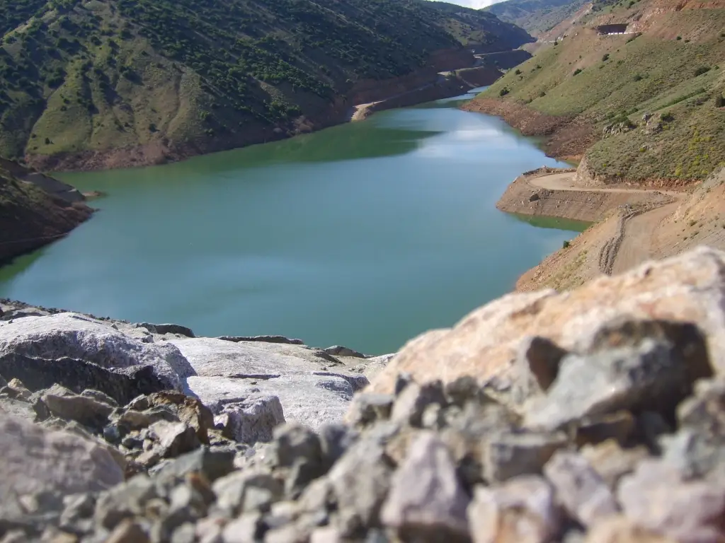
Köse Dam - Köse Photo: Sinan Şahin (CC BY 3.0) · Source
Other

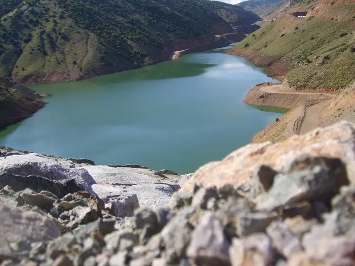
Köse Dam

A structure built on the Köse Stream, which is among the places to see.

View on map
Nature

Köse Mountain

Köse Mountain, which gives the district its name, is suitable for trekking and mountain walks with its height of over 2,500 metres. It offers plateau life in summer and snowy views in winter.

View on map
Nature

Köse Plateaus

The highland pastures in the upper parts of the district are an attractive destination for nature lovers, with cool summer air and wide meadows. Every summer, local people hold traditional plateau festivals that keep their cultural heritage alive.

View on map

Places to Visit Around Gümüşhane Province

See all →

While you are in Köse, you can also see the highlights of Gümüşhane province. These places are in other districts; Köse is about 40 km from the provincial centre.

  • Karaca Cave — A cave in the village of Cebeli in Torul, 1,550 metres above sea level and 17 km from the city centre; with its stalactites, stalagmites, columns, cave pearls and travertine terraces, it is one of the most beautiful caves in Türkiye.
  • Santa Ruins — Former Greek mining villages scattered across the slopes of the Yanbolu valley at 1,600 metres, in the village of Dumanlı in the central district.
  • Limni Lake Nature Park — A highland lake surrounded by spruce and Scots pine forest in the village of Zigana in Torul; it was declared a nature park in 2011. There is a walking path around the lake, and on misty days it has a special atmosphere.
  • Artabel Lakes Nature Park — A mountainous area in Torul, declared a nature park in 1998, with more than 15 lakes formed in the Ice Age, five of them large; its highest point is the 3,331-metre Abdalmusa Peak.
  • Satala Ancient City — In the village of Sadak in Kelkit, the permanent camp of the XV Apollinaris legion on the eastern frontier of the Roman Empire; Emperor Trajan visited it in 115. The remains of an aqueduct still stand, and the bronze head of Aphrodite of Satala in the British Museum was found here.
  • Süleymaniye (Old Gümüşhane) — The historic core of the city; of the old settlement that grew thanks to the silver mines and the Silk Road, examples of mosques, churches, hammams, fountains and civil architecture remain.

Practical Information for Visiting Köse

Suggested time
Half a day
Best time to visit
Summer months (June–August)
Places to visit
3 places

What to Eat in Köse

Food guide →
  • Siron (savoury pastry roll)

    Made by filling thin yufka with minced meat or potato, rolling it and baking it. It is a traditional flavour of Köse.

  • Pestil (fruit leather)

    Pestil made from mulberry juice is the traditional sweet of Köse. Prepared from recipes passed down through generations, this dish is an important part of the area's culinary culture.

Culture, Local Products and Economy of Köse

  • Plateau Culture

    For centuries, the people of Köse have migrated to the plateaus in the summer months. Traditional plateau houses and dairy production are living examples of this culture.

Local Products

  • Köse Honey — Köse honey, made from mountain flowers, is known for its organic character.
  • Local Cheeses — Tulum cheese made from plateau milk is one of Köse's traditional dairy products.

Economy

Köse's economy is based on agriculture and livestock. Cattle farming and grain production are the main sources of livelihood. Beekeeping is also an important source of income.

How to Get to Köse

Köse is 40 km from Gümüşhane provincial centre and is reached by road. Trabzon Airport is about 140 km away.

Get directions on Google Maps Getting to Gümüşhane

Köse: Frequently Asked Questions

What are the places to see in Köse?

The three highlights in Köse are Köse Dam, Köse Mountain and Köse Plateaus.

What should I eat in Köse?

Siron and Pestil are the standout foods on Köse's tables.

What is Köse famous for?

Köse is known for its honey and its plateau culture. Köse honey, made from mountain flowers, is known for its organic character.

How do I get to Köse?

Köse is 40 km from Gümüşhane provincial centre and is reached by road. Trabzon Airport is about 140 km away.

How much time should I set aside for a visit to Köse?

Suggested visit length: half a day. Best time to visit: summer months (June–August).

Continue Your Trip

Other Districts of Gümüşhane

Search 81 province guides and 968 district guides.