Getting to Know Gümüşhane
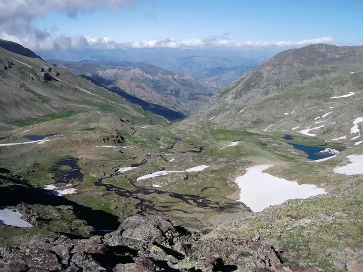
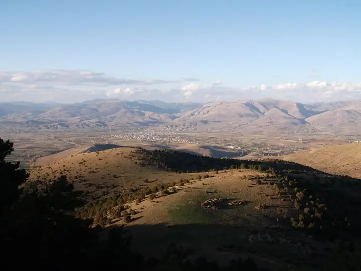
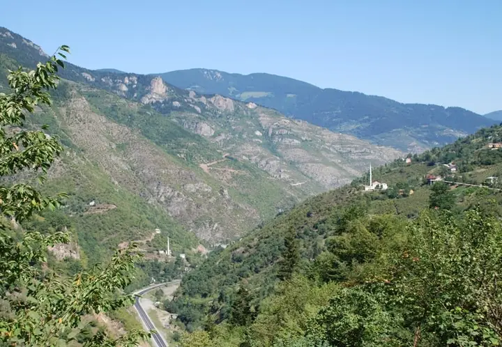
Gümüşhane lies in the interior of the Eastern Black Sea Mountains, in a narrow valley cut by the Harşit Stream, at an altitude of about 1,150 metres. Although it is close to the coast, it lies behind the mountains, so its climate and vegetation are very different from those of the Black Sea shore: the northern slopes are covered with spruce forest, while steppe and orchards begin in Kelkit and Şiran to the south.
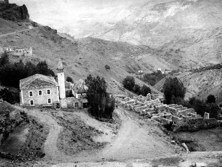
The city’s medieval name was Canca; in the 6th century it appears as Tzantzakon in the work of the Byzantine historian Procopius. The name Gümüşhane entered Ottoman records in the 18th century and comes from the region’s rich silver and lead mines; the Greeks called the city Argyroupolis (“silver city”). The city was the next stop after the Zigana Pass on the historic Silk Road that ran from Trabzon to Iran, and it passed to the Ottomans in 1461 when the Empire of Trabzon fell. From the 16th to the 19th centuries the mines were the livelihood of the city and the surrounding Greek villages; high highland villages such as Santa flourished in this period and were emptied by the 1923 population exchange.
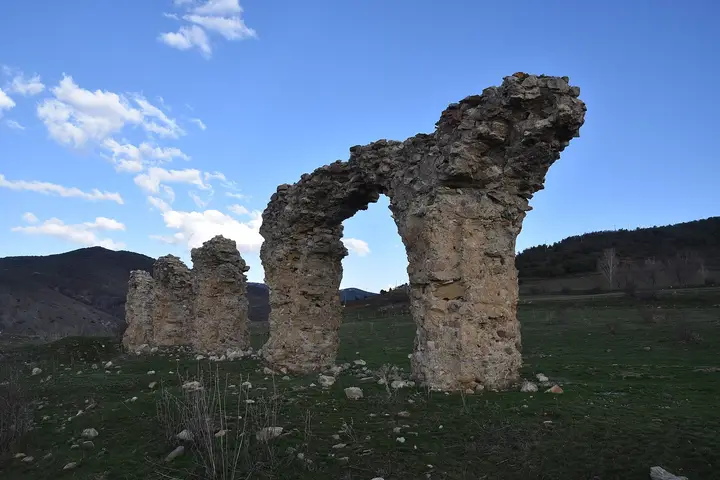
The old city stood in the Süleymaniye neighbourhood; after floods and migration in the 19th century the settlement moved down to the present valley floor. Satala in Kelkit was one of the most important legionary camps on the eastern frontier of the Roman Empire. The Zigana Tunnel, opened in 2023 and the longest road tunnel in Türkiye, has shortened the road between Trabzon and Gümüşhane.
When to Go
Gümüşhane has a climate that is transitional between the Black Sea and continental types: winters are cold and snowy, and summers are hot and dry. Averages for 1961–2025 from the Turkish State Meteorological Service (provincial centre):
| Month |
Avg. high |
Avg. low |
Rainfall |
Rainy days |
| January |
3.1 °C |
−5.3 °C |
35 mm |
11 |
| February |
5.4 °C |
−4.8 °C |
31 mm |
10 |
| March |
10.0 °C |
−1.0 °C |
46 mm |
13 |
| April |
16.4 °C |
3.8 °C |
59 mm |
13 |
| May |
21.2 °C |
7.6 °C |
70 mm |
15 |
| June |
25.2 °C |
10.9 °C |
47 mm |
10 |
| July |
28.3 °C |
13.9 °C |
15 mm |
4 |
| August |
29.1 °C |
14.0 °C |
14 mm |
4 |
| September |
25.5 °C |
10.3 °C |
21 mm |
5 |
| October |
19.0 °C |
6.0 °C |
43 mm |
9 |
| November |
10.9 °C |
1.0 °C |
42 mm |
10 |
| December |
5.0 °C |
−2.9 °C |
41 mm |
11 |
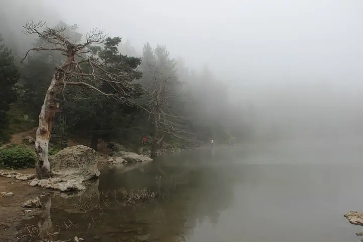
June to September is the best time to visit. The roads to areas at 1,600–2,400 metres such as Limni, Artabel and Santa generally open in June, and snow begins in October; even in summer the nights are cool on the high highland pastures. The Kadırga Plateau Festival is held in mid-July. The end of summer, when the mulberries ripen, is also when the making of pestil and köme begins.
How to Get to Gümüşhane
By air: There is no airport in the province. The nearest is Trabzon Airport (about 110 km); Erzurum airport, reached via Erzincan and Bayburt, is also an option.
By road: Gümüşhane lies on the Trabzon–Gümüşhane–Bayburt–Erzurum road. With the Zigana Tunnel, the journey to Trabzon has come down to about 1.5 hours. Via Kelkit and Şiran it connects to Erzincan, Sivas and Giresun (Şebinkarahisar). A private vehicle is recommended for highland sites such as Santa and Limni. There is no railway in the province.
Gümüşhane Area by Area
- Merkez (central district): the old city in the Süleymaniye neighbourhood, the road to Karaca Cave, the Santa Ruins (Dumanlı village) and the Gümüşhane Museum.
- Torul: Karaca Cave (Cebeli village), Limni Lake Nature Park, the Artabel Lakes, Zigana Pass and ski centre, and Torul Castle with its glass viewing terrace.
- Kürtün: the forested Harşit valley and highland pastures; Kürtün Araköy bread.
- Kelkit: the Roman legionary camp of Satala (Sadak village), the Kelkit valley, and the registered Kelkit kete and beans.
- Şiran: Tomara Waterfall and Şiran root molasses.
- Köse: Mount Köse and broad highland pastures.
- Kadırga Plateau: the historic highland meeting place in Torul where the borders of Trabzon, Giresun and Gümüşhane meet.
Suggested Itineraries
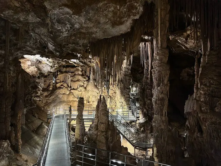
Day 1 – Merkez and Torul: In the morning, the dripstones of Karaca Cave; in the afternoon, Torul Castle and the glass terrace; in the early evening, a walk around Limni Lake. Siron and köme in the evening.
Day 2 – Santa or Artabel: The stone church and houses at the Santa Ruins, reached along forest and highland roads; for those who enjoy hiking, the glacial lakes of Artabel (in the summer months, a full day).
Day 3 – The south: The ruins of Satala in Kelkit and Tomara Waterfall in Şiran.
Gümüşhane Cuisine
Gümüşhane cuisine is a bridge between the Black Sea and Eastern Anatolia. The province’s best-known products are made with mulberries: Gümüşhane dut pestili (mulberry fruit leather), made by thickening mulberry molasses with starch and drying it in thin sheets, and Gümüşhane kömesi, made by dipping strings of walnuts into the same mixture, are both registered geographical indications. Also registered are Gümüşhane sironu, in which yufka is wrapped with yoghurt and garlic and baked, Gümüşhane dölek güveci (dölek casserole), Gümüşhane ekmeği (Gümüşhane bread), Kürtün Araköy ekmeği (Araköy village bread), Kelkit ketesi (Kelkit flaky pastry), Gümüşhane deleme peyniri (deleme cheese), Gümüşhane kuşburnu nektarı (rosehip nectar), Şiran kök pekmezi (Şiran root molasses), Gümüşhane şeker fasulyesi (Gümüşhane sugar beans) and Kelkit şeker fasulyesi (Kelkit sugar beans). Among handicrafts, the Kelkit zilli kilimi (kilim with bells) is a registered weave.
Practical Tips
- Parts of the roads to Santa, Artabel and Limni are gravel or narrow; ask about the weather and road conditions before heading up to the highland pastures.
- It is cool inside Karaca Cave all year round; take a thin cardigan even in summer.
- You can buy pestil and köme from the shops in the city centre; fresh produce is available from the end of summer.
- The roads are very crowded during the Kadırga Plateau Festival; set out early in the morning.
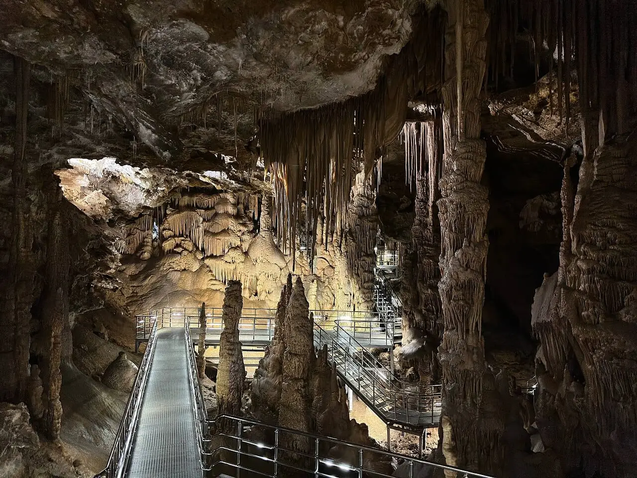
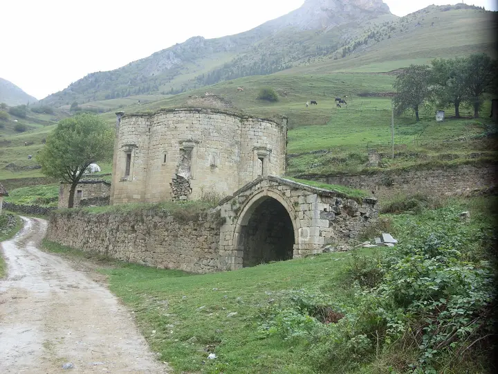 Photo: Hüseyin Öcal (CC BY 3.0) · Source