Harşit Valley
The valley formed by the Harşit Stream, an area of historical and geographical importance.
View on map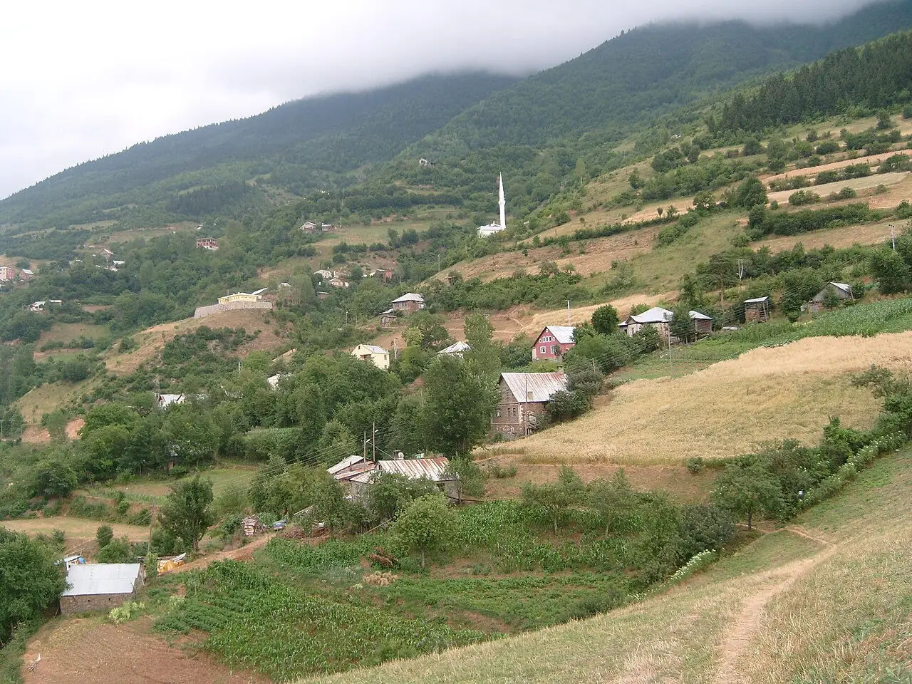 Photo: kenan.. (CC BY 3.0) · Source
 7 places to visit in the Kürtün district of Gümüşhane: Harşit Valley, Araköy and Kürtün Dam and Lake. Plan your trip to Kürtün with local food, practical tips and transport information.
The average altitude of the district centre of Kürtün is 593 metres above sea level.
The word Kürtün is a general term used by the Çepni of the Black Sea to describe places in mountainous regions where water flows through the middle. According to the Turkish Language Association, the meaning of Kürtün is “snow pile gathered by the wind in sheltered places” and “pack saddle placed on pack animals”.
Turks, particularly the Çepni, reached the southern part of the eastern Black Sea region from the 11th and 12th centuries onwards. In the 14th century the Çepni began to settle in the Middle Harşit Valley and its surroundings, south-west of Trabzon. Kürtün, which belonged to the Principality of the Hacıemiroğulları between 1301 and 1427, was incorporated into the Ottoman state in 1479 and became a kaza (subdistrict) attached to the Sanjak of Trabzon. In the Ottoman tahrir register of 1486, a timar administrative unit called “Ze’amet-i Kürtün” was established within the Sanjak of Trabzon, and the area around Giresun Castle was shown as a settlement attached to Kürtün with nahiye status.
The administrative centre of Kürtün was a castle called Cezre (or Cezere), which was conquered by Rakkas Sinan Bey, known as the “Conqueror of Kürtün”. In Ottoman documents from 1515–1520, the term “Vilayet-i Çepni” (today’s Giresun–Keşap–Dereli) appears within the Kürtün area, with Giresun shown as its centre. The 17th-century Avârız register records the villages of the Harşit Valley, including Uluköy, Araköy, Arpacık, Beşir, Beytarlası, Çarçur, Gelevera, Gönderi, Harid, Kargakayası and others. In court records from 1796–1797, Kürtün (Kürtün-i Zir and Kürtün-i Bala), Tirebolu and Görele are shown as separate kazas within the Trabzon region.
Kürtün became a district in 1990. The Kadırga Plateau Festivals are held each year on the Friday of the 3rd week of July. According to the source, plateau festivals have been held at Kadırga plateau since the 1400s. Wooden kitchen tools such as yayık (churn), kufa, külek and saksı are produced in the district. The district has 150 plateaus, and it is stated that around 10,000–15,000 people from Trabzon and Giresun practise plateau farming. Casting work based on the production of bells, kelek (basin) and kantar (scales) is carried out in the district. Bread made from natural wheat flour in stone ovens is produced in the district and sold in neighbouring provinces.
Last updated:
The valley formed by the Harşit Stream, an area of historical and geographical importance.
View on map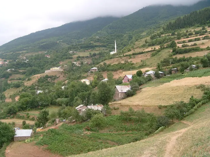 Photo: kenan.. (CC BY 3.0) · Source
 A historic village in the Harşit Valley; in the 19th century it was one of the villages attached to the Trabzon kaza (subdistrict).
View on mapThe Kürtün Dam, built on the Harşit Stream, was constructed for energy production. The area around the reservoir, with its green mountain views and calm atmosphere, is suitable for nature observation and photography.
View on mapThe plateaus in the high parts of the district are preferred for camping and nature walks because of their cool air and pine forests in the summer months.
View on mapLocated within the boundaries of Kürtün district; the source states that they contain trees so valuable that they rival those of Europe.
View on mapOne of Kürtün's most important plateaus; the source states that plateau festivals are held there.
View on mapMentioned on the District Governorship page among the places in the district that can be visited; it relates to the events of 1918 following the First World War.
View on mapWhile you are in Kürtün, you can also see the highlights of Gümüşhane province. These places are in other districts; Kürtün is about 45 km from the provincial centre.
Thin yufka pastry filled with minced meat or potatoes, rolled up and baked. It is a traditional flavour of Kürtün.
A traditional soup made with collard greens and cornmeal, the basic dish of Kürtün's winter tables.
Pestil made from mulberry juice is Kürtün's traditional sweet. This flavour, prepared with local ingredients, reflects the gastronomic richness of the region.
Known by the name of Araköy, a village attached to Kürtün, this bread is made with sourdough.
Kürtün lies in the mountainous interior of the Black Sea and continues traditional mountain village life. Wooden houses, plateau migration and traditional handicrafts are important elements of this culture.
The economy of Kürtün is based on agriculture, livestock farming and energy production. The Kürtün Dam produces hydroelectric energy. Beekeeping and forest products are other sources of income.
Kürtün is 45 km from Gümüşhane city centre. It lies on the Trabzon–Gümüşhane road. Trabzon Airport is about 70 km away.
The highlights of Kürtün are 7 places: Harşit Valley, Araköy, Kürtün Dam and Lake, Kürtün Plateaus, Örümcek Forests, Kadırga Plateau and Kabaktepe Martyrs' Cemetery.
Siron, Karalahana Soup, Pestil and Kürtün Araköy Bread are the standout dishes on Kürtün's tables.
Kürtün is known for Kürtün Araköy Bread and Black Sea Mountain Culture. It is a product registered as a geographical indication (mahreç işareti) with TÜRKPATENT.
Kürtün is 45 km from Gümüşhane city centre. It lies on the Trabzon–Gümüşhane road. Trabzon Airport is about 70 km away.
Suggested visit: 1 day. Best time to visit: summer months (June–September).