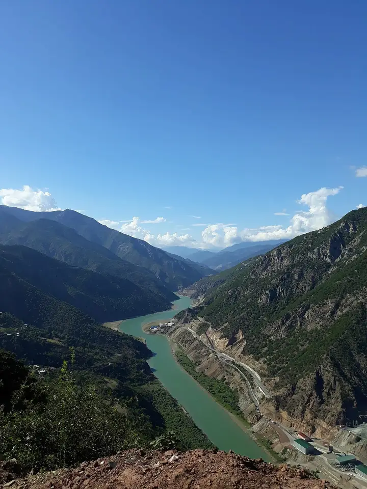
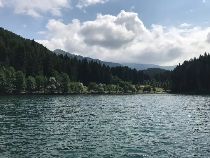
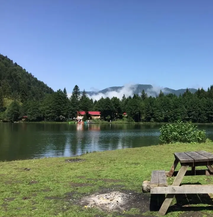
Artvin is one of the most mountainous and greenest provinces of the Black Sea region, bringing together the 10th-century Georgian monasteries of İşhan, Dörtkilise, Barhal and Tbeti on the steep slopes of the Çoruh valley, Camili, Türkiye's first UNESCO biosphere reserve, the Karagöl and Hatila national parks, the Yusufeli slopes of the Kaçkars and the Kafkasör bull wrestling.

Share with friends

Last updated:

Places to Visit in Artvin

19 places worth seeing in Artvin, from historic monuments to natural wonders, grouped by type. Open any of them on the map with a single click.

  • 3 Historic
  • 4 Religious
  • 8 Nature
  • 4 Attraction

Historic Sites 3

Artvin Castle Photo: Dosseman (CC BY-SA 4.0) · Source
Historic

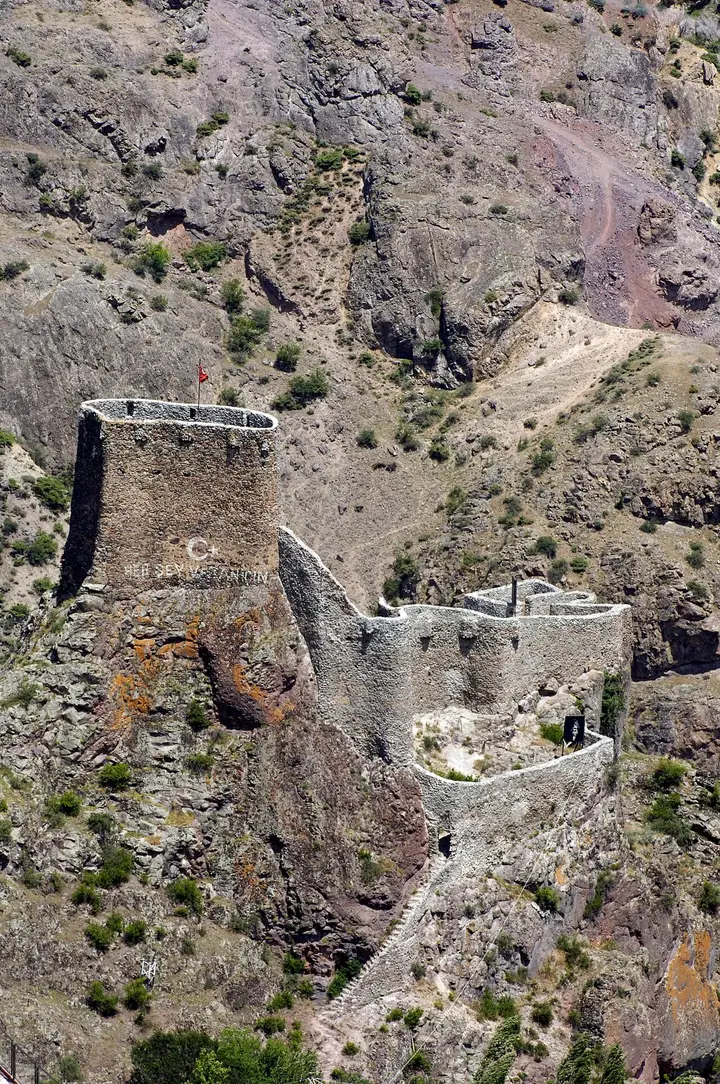
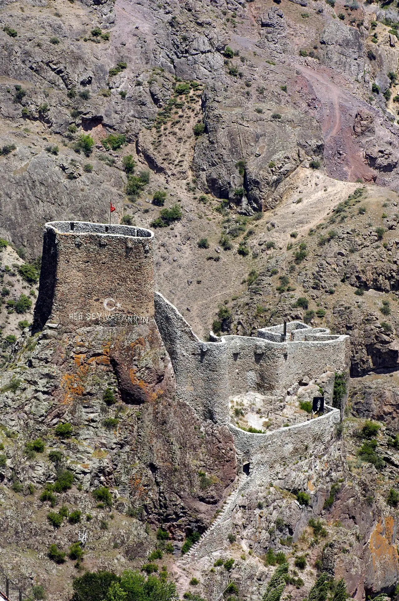
Artvin Castle

Known locally as Livane Castle, it was built in 937 by the Georgian king Ashot the Great and controlled the approach to the town and traffic along the Çoruh. It was repaired and enlarged in the Ottoman period, restored in 2004 and opened to visitors with floodlighting in 2012.

View on map
Ardanuç Castle Photo: Bertramz (CC BY-SA 3.0) · Source
Historic

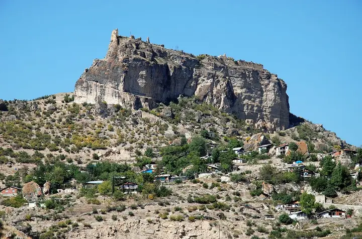
Ardanuç Castle (Gevhernik)

A castle-town in Ardanuç, the capital of Klarjeti; it goes back to the time of the Georgian king Vakhtang Gorgasali (5th century), was refounded in the 9th century by Ashot I Kuropalates and passed to the Ottomans in 1551. The 220-metre-long castle stands on a giant block of rock.

View on map
Şavşat Castle Photo: Sairzamanlar (CC BY-SA 4.0) · Source
Historic

Şavşat Castle (Satleli)

The most important historic building in the town of Şavşat; it is attributed to Adarnase I of Iberia (d. 923). The nearby 9th–10th-century Satle Church is largely standing.

View on map

Religious Buildings 4

Arched façade of the İşhan Monastery church Photo: Partridgebirdie (CC BY-SA 4.0) · Source
Religious

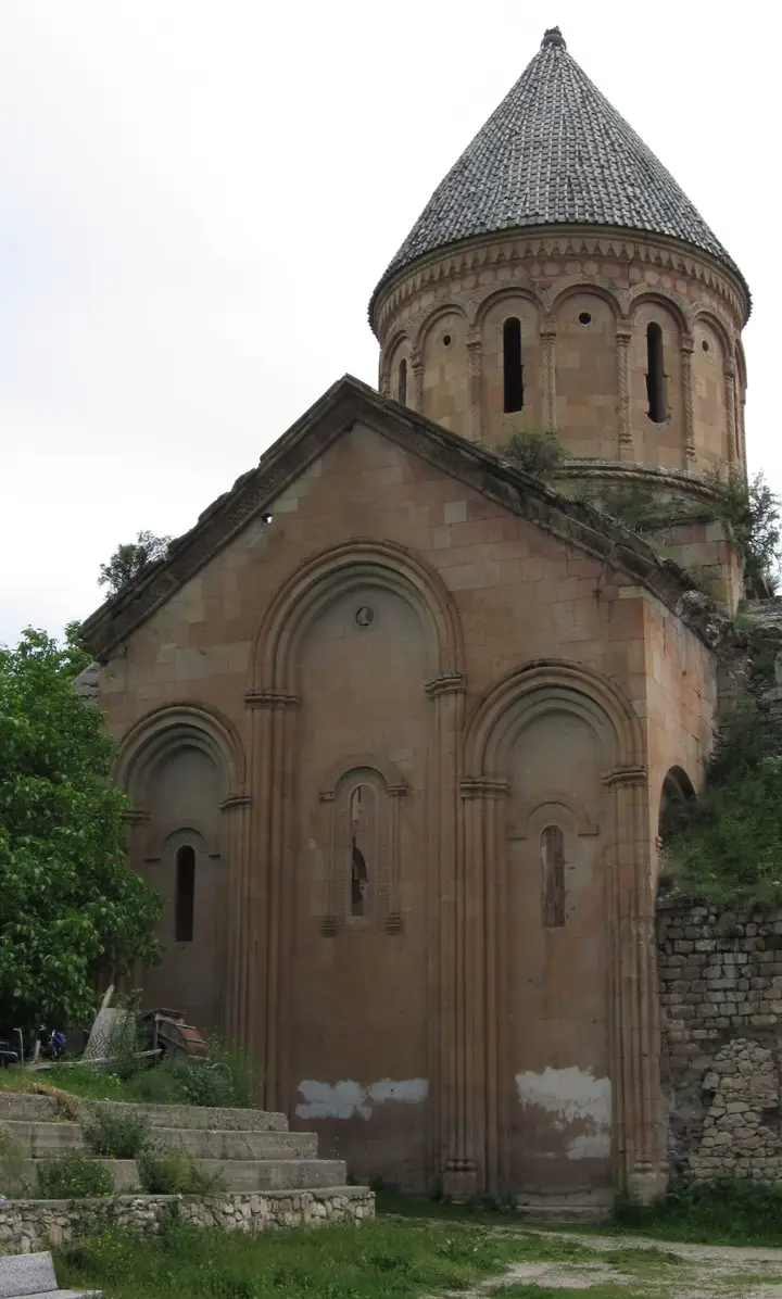
İşhan Monastery

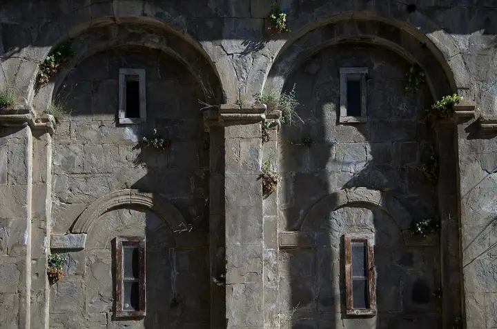
A Georgian monastery in the village of İşhan in Yusufeli; it was founded in the 9th century by the monk Saba on the site of a 7th-century church and renovated in 1032 by the architect Ivane Morchaisdze. One of the five episcopal seats of the Çoruh basin, it is among the masterpieces of Tao-Klarjeti with its dome and relief-decorated façades.

View on map
Dörtkilise Monastery Photo: Volker Höhfeld (CC BY-SA 4.0) · Source
Religious

Dörtkilise (Othta Eklesia)

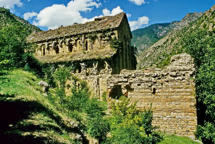
A 10th-century Georgian monastery 5 km from the village of Tekkale in Yusufeli; its name is a translation of the Georgian Othta Eklesia ("four churches"). Its large basilica, decorated with rows of blind arches, is a counterpart of the Barhal Church.

View on map
Blind arches on the façade of the Barhal Church Photo: Scott Dexter (CC BY-SA 2.0) · Source
Religious

Barhal (Parhali) Church

The main church of the monastery in the village of Altıparmak in Yusufeli, built between 961 and 973 by the Georgian king David III; a three-aisled basilica measuring 28 × 19 metres, it is one of the best-preserved Georgian buildings in the region. It was converted into a mosque in 1677.

View on map
Ruins of Tbeti Church Photo: Bertramz (CC BY-SA 3.0) · Source
Religious

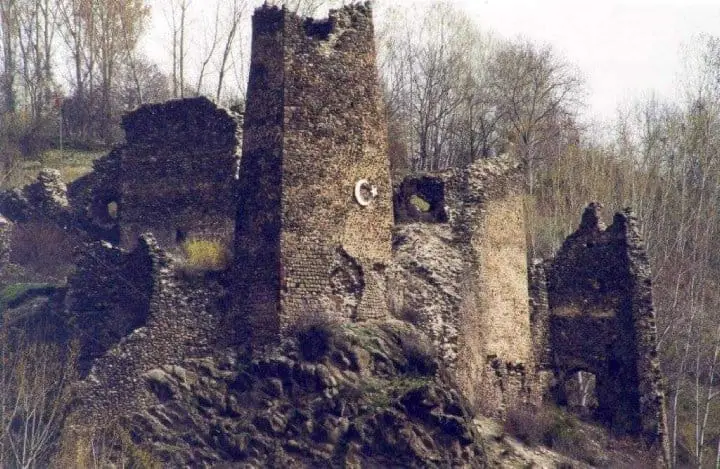
Tbeti Church

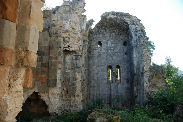
The main church of the Tbeti Monastery in the village of Cevizli in Şavşat; the first building was erected in the time of Ashot Kuhi (before 918) and enlarged in the 11th and 13th centuries. Although largely ruined, its cut-stone masonry is still impressive.

View on map

Natural Wonders 8

View of Artvin from the Kafkasör Plateau Photo: bynyalcin (CC BY 3.0) · Source
Nature

Kafkasör Plateau

A forest-ringed highland pasture at an altitude of about 1,200 metres, 12 km from the city centre; it hosts the bull wrestling of the annual Kafkasör Culture, Tourism and Arts Festival.

View on map
Hatila Valley Photo: Seymark (CC BY-SA 4.0) · Source
Nature

Hatila Valley National Park

A narrow V-shaped valley, in places a canyon, 10 km from Artvin centre; slopes reach gradients of up to 100 per cent in places. It is a national park rich in wildlife, with more than 500 plant species and animals such as bears, wild goats and capercaillies.

View on map
Nature

Cehennem Deresi Canyon

A canyon 2.5 km long and in places 200 metres deep, at kilometre 25 of the Artvin–Ardanuç road, 7 km from Ardanuç; it was declared a nature park in 2018.

View on map
Şavşat Karagöl Photo: Wikimedia Commons (CC BY-SA) · Source
Nature

Karagöl-Sahara National Park

The national park in Şavşat has two parts: Karagöl, a landslide lake surrounded by spruce and pine forests 45 km north of the district, and the Sahara Plateau, 17 km away at 1,700–1,800 metres. The Meşeli fairy chimneys also lie within the park boundaries.

View on map
Borçka Karagöl Photo: Laz (CC BY-SA 4.0) · Source
Nature

Borçka Karagöl

A two-part landslide lake 25–27 km from Borçka, within the Borçka Lake Nature Park established in 2002. Wooden walkways have been laid around its shores.

View on map
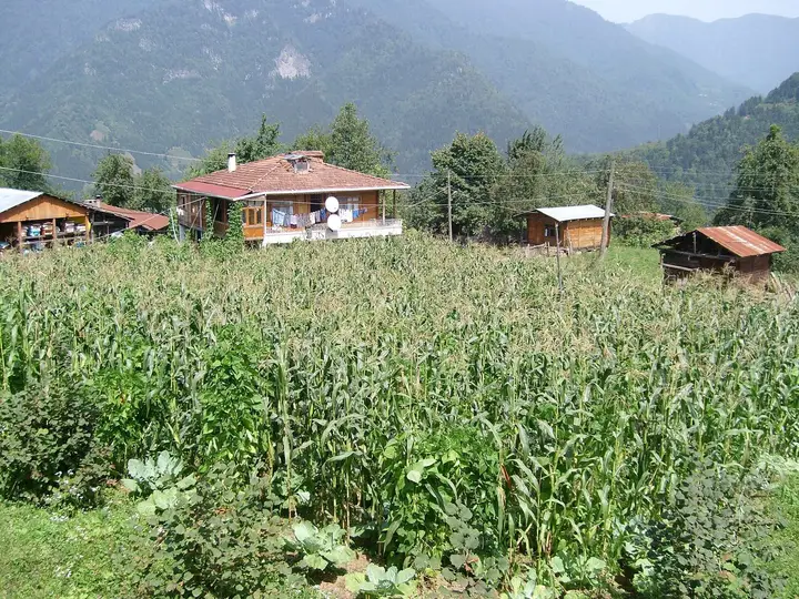
Wooden houses and a cornfield in the village of Camili Photo: Leplebi (CC BY-SA 4.0) · Source
Nature

Camili (Macahel) Biosphere Reserve

A 27,152-hectare basin covering Camili and the surrounding villages on the Georgian border in Borçka; it was declared Türkiye's first biosphere reserve by UNESCO in 2005. Sixty-five per cent of the area is forest, 990 plant taxa have been recorded, and it is the habitat of the Caucasian bee. In 1921, 12 of Macahel's villages were left in Georgia and 6 in Türkiye.

View on map
Maral Waterfall in the forest Photo: Enverkaranfil (CC BY-SA 4.0) · Source
Nature

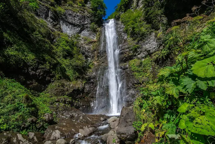
Maral Waterfall

Within the Camili Biosphere Reserve, a waterfall that drops 63 metres in a single step on the Maral Stream in the Karçal Mountains; it is 55 km from Borçka and 90 km from Artvin.

View on map
The Kaçkar Mountains from Olgunlar Photo: Yenertan (CC BY-SA 4.0) · Source
Nature

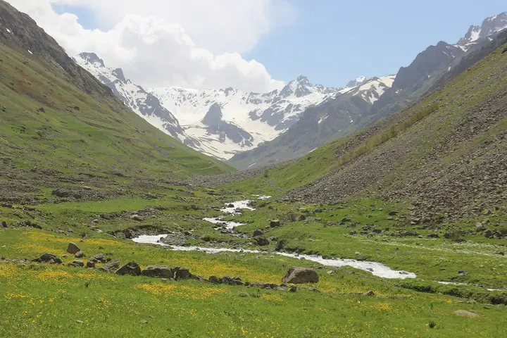
Kaçkar Mountains (Yusufeli slopes)

Mount Kaçkar, at 3,937 metres, is the highest point of the north-eastern Anatolian mountains. The villages of Yaylalar (Hevek) and Olgunlar in Yusufeli are the starting points of the walking routes to the summit and the glacial lakes.

View on map

Attractions 4

Attraction

Çoruh River and Rafting

The roughly 100-km stretch of the Çoruh within Yusufeli was one of the most challenging rafting and canoeing courses in Türkiye. Because dams have turned part of the river into a lake, rafting today takes place mostly at Barhal and on the remaining free-flowing sections of the Çoruh.

View on map
Deriner Dam Photo: Mehmet Ali Acar (CC BY-SA 4.0) · Source
Attraction

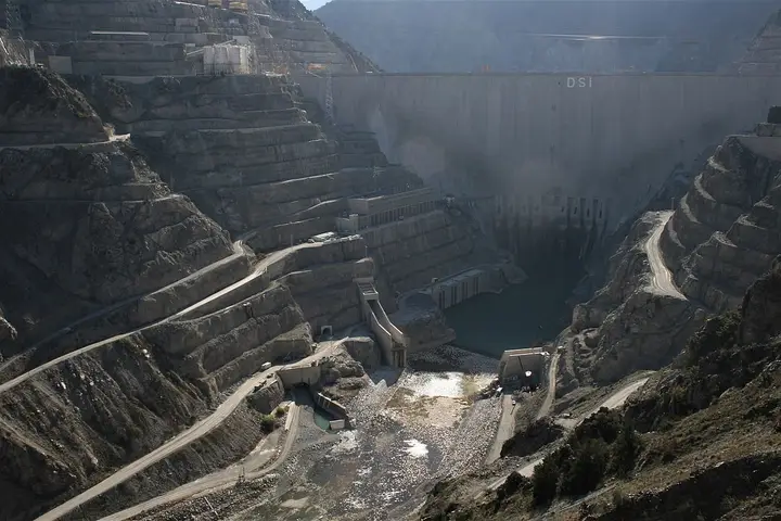
Deriner Dam

A 249-metre-high concrete arch dam on the Çoruh, on the Artvin–Erzurum road; it is the second highest dam in Türkiye and opened in 2012.

View on map
Attraction

Hopa and Sarp

Hopa, one of the centres of Laz culture, has wooden Laz mosques dating from the 19th century. The Sarp Border Gate, 15 km east of the district, opened in 1989 and is about 20 km from Batumi.

View on map
Attraction

Arhavi and Its Highland Pastures

A coastal district famous for the Arhavi Culture and Arts Festival, held since 1973; to the south, highland pastures such as Agara, Soğuksu and Şenyurt rise to 2,000 metres.

View on map

Getting to Know Artvin

Artvin lies in the far north-east of Türkiye, on the Georgian border, in the deep valley that the Çoruh River has cut between the Kaçkar and Karçal mountains. The provincial centre is built on a steep slope overlooking the Çoruh, at an altitude of about 500 metres; within a very short distance, between the 30-km coastal strip (Hopa and Arhavi) and 3,937-metre Mount Kaçkar, you find very different climates and vegetation.

In the Middle Ages this land was Tao-Klarjeti, the homeland of the Georgian Bagratid dynasty. The monasteries founded in the valleys between the 9th and 11th centuries — İşhan, Dörtkilise (Othta Eklesia) and Barhal (Parhali) in Yusufeli, and Tbeti in Şavşat — are among the finest examples of Georgian architecture. Artvin Castle was built in 937 by the Georgian king Ashot the Great, and Ardanuç was for a long time the capital of Klarjeti. The region came under Ottoman rule in the mid-16th century; after remaining under Russian administration from 1878 to 1921, it was joined to Türkiye by the Treaty of Moscow.

Today Artvin is known for Camili (Macahel), Türkiye’s first UNESCO biosphere reserve, its two national parks (Hatila Valley and Karagöl-Sahara), the giant dams on the Çoruh and the Kafkasör bull wrestling held every June.

When to Go

Artvin centre is drier than the coast and its winters are colder. Averages for 1949–2025 from the Turkish State Meteorological Service:

Month Avg. high Avg. low Rainfall Rainy days
January 6.4 °C −0.1 °C 85 mm 13
February 8.4 °C 0.5 °C 72 mm 13
March 12.5 °C 3.0 °C 61 mm 14
April 18.0 °C 7.3 °C 53 mm 13
May 21.9 °C 11.2 °C 54 mm 14
June 24.3 °C 14.4 °C 48 mm 13
July 25.9 °C 17.0 °C 32 mm 8
August 26.5 °C 17.3 °C 29 mm 8
September 24.0 °C 14.3 °C 39 mm 9
October 19.7 °C 10.3 °C 61 mm 11
November 13.5 °C 5.8 °C 75 mm 11
December 8.0 °C 1.9 °C 87 mm 12

The best time to visit is June to September. July and August are the driest months of the year; the highland roads are open and the Kaçkar treks take place in this period. The Kafkasör bull wrestling is held in late June or early July. In September and October the forests of the Çoruh valley take on autumn colours. In winter the roads up to the high plateaus and to Karagöl may be closed by snow.

How to Get to Artvin

By air: The nearest airport is Rize-Artvin Airport, built on land reclaimed from the sea in the Pazar district of Rize and opened in 2022. Havaş buses run from Artvin bus station to the airport via Borçka, Hopa and Arhavi in about 2.5 hours. Hopa is closer to the airport.

By road: Artvin connects to the Black Sea coast road via Hopa, to Erzurum via Yusufeli–Tortum, and to Ardahan via Şavşat–Yalnızçam. The Sarp Border Gate, 15 km east of Hopa, opens onto the Georgian city of Batumi (about 20 km); Turkish citizens may cross with an identity card alone.

Artvin Area by Area

  • Merkez: Artvin Castle, the Kafkasör Plateau 12 km away, Hatila Valley National Park and Deriner Dam.
  • Yusufeli: the eastern slopes of the Kaçkar Mountains (Yaylalar/Hevek, Olgunlar), Barhal Church, the İşhan and Dörtkilise monasteries, and rafting on the Çoruh.
  • Şavşat: Karagöl-Sahara National Park, Şavşat (Satleli) Castle, Tbeti Church and wooden village houses.
  • Ardanuç: Ardanuç Castle (Gevhernik), the former capital of Klarjeti, and Cehennem Deresi Canyon.
  • Borçka: Borçka Karagöl, the Camili (Macahel) Biosphere Reserve and the 63-metre Maral Waterfall.
  • Hopa, Arhavi, Kemalpaşa: the Black Sea coast, Laz culture, the Sarp Border Gate and the highland pastures of Arhavi.

Suggested Itineraries

Day 1 – Merkez: See Artvin Castle, then go up to the Kafkasör Plateau in the afternoon; follow with a short walk in Hatila Valley.

Day 2 – Şavşat and Ardanuç: In the morning, Cehennem Deresi Canyon and Ardanuç Castle in Ardanuç; in the afternoon, Tbeti Church and Karagöl in Şavşat.

Day 3 – Yusufeli: Drive down the Çoruh valley to Yusufeli and see the İşhan and Dörtkilise monasteries; after Barhal Church in the village of Altıparmak, continue up to the village of Yaylalar at the foot of the Kaçkars.

Extra day – Borçka and Macahel: Borçka Karagöl, the village of Camili and Maral Waterfall (about 90 km from Artvin, with part of the road narrow and winding).

Artvin Cuisine

Artvin cuisine is built on anchovies and corn on the coast and on butter, cheese and wheat inland. Products with a geographical indication include Hopa hamsili ekmeği (anchovy cornbread), Hopa Laz böreği (custard-filled pastry) and Borçka demir elması (Borçka iron apple). The honey produced around Camili and Hatila, habitats of the Caucasian bee, and Şavşat’s buttery keta (filled pastry) are also among the flavours worth trying.

Practical Tips

  • The roads between the Çoruh valley and the highland pastures are narrow and winding; be an experienced driver, especially on the Macahel and Karagöl roads.
  • When the Yusufeli Dam began to fill in 2022, the centre of Yusufeli district and some villages in the valley were moved to new sites; do not rely on old directions.
  • Accommodation fills up quickly during the Kafkasör festival; book early.
  • If you are crossing into Georgia at Sarp, a new-type identity card or a passport is sufficient.
Districts of Artvin

Artvin province has 9 districts. Explore the places to visit, local dishes and transport in each one.

What to Eat in Artvin

All dishes →
  • Hopa Hamsili Ekmek (anchovy cornbread)

    Hopa bread made with cornmeal and anchovies, with a registered geographical indication.

  • Hopa Laz Böreği (custard-filled pastry)

    A sweet börek made by placing custard between layers of yufka, with a registered geographical indication.

  • Şavşat Ketesi (buttery filled pastry)

    Şavşat ketesi, a buttery pastry with a filling.

  • Borçka Demir Elması (Borçka iron apple)

    A local apple with a registered geographical indication, firm in texture and long-lasting.

What to eat in Artvin: the full food guide

Artvin: Frequently Asked Questions

What are the best places to visit in Artvin?

The main stops are Artvin Castle, the Kafkasör Plateau, Hatila Valley, the churches of İşhan, Dörtkilise, Barhal and Tbeti, Ardanuç Castle and Cehennem Deresi Canyon, Şavşat Karagöl, Borçka Karagöl, the Camili Biosphere Reserve, Maral Waterfall and the Kaçkar Mountains.

What is the nearest airport to Artvin?

Rize-Artvin Airport in the Pazar district of Rize. Havaş buses take about 2.5 hours from Artvin bus station to the airport.

When are the Kafkasör bull wrestling matches?

The Kafkasör Culture, Tourism and Arts Festival is held every year in early summer (usually late June to early July) on the Kafkasör Plateau, 12 km from Artvin.

Why is Camili important?

The Camili (Macahel) basin in Borçka was declared Türkiye's first biosphere reserve by UNESCO in 2005; it is the habitat of the Caucasian bee.

Which Georgian churches can you see in Artvin?

In Yusufeli, İşhan Monastery, Dörtkilise and Barhal Church; in Şavşat, Tbeti Church and Satle Church; and the ruined church within Ardanuç Castle.

When is the best time to visit Artvin?

June to September is the best period. July and August are the driest months, and the highland roads are open.

More from the Artvin Guide

Other Provinces in the Black Sea Region

Sources

The information in this guide has been compiled from and checked against the sources below (last checked: 7 October 2026). If you spot an error, please let us know.

  1. Vikipedi – Artvin
  2. Meteoroloji Genel Müdürlüğü – Artvin il istatistikleri
  3. Vikipedi – Artvin Kalesi
  4. Vikipedi – İşhan Manastırı
  5. Vikipedi – Tekkale, Yusufeli
  6. Vikipedi – Parhali Manastırı
  7. Vikipedi – Tbeti Kilisesi
  8. Vikipedi – Ardanuç Kalesi
  9. Vikipedi – Cehennem Deresi Kanyonu Tabiat Parkı
  10. Vikipedi – Karagöl-Sahara Millî Parkı
  11. Vikipedi – Hatila Vadisi Millî Parkı
  12. Vikipedi – Karagöl (Borçka)
  13. Vikipedi – Camili Biyosfer Rezervi
  14. Vikipedi – Maral Şelalesi
  15. Vikipedi – Deriner Barajı ve Hidroelektrik Santrali
  16. Vikipedi – Yusufeli Barajı ve Hidroelektrik Santrali
  17. Vikipedi – Rize-Artvin Havalimanı
  18. Vikipedi – Sarp Sınır Kapısı
  19. Vikipedi – Yusufeli
  20. Vikipedi – Şavşat
  21. Vikipedi – Hopa
  22. Vikipedi – Arhavi
  23. Vikipedi – Kâzım Koyuncu
  24. NTV – Artvin'in Hopa hamsili ekmeği tescillendi
  25. TRT Haber – Borçka demir elma tescillendi
  26. Türkgün – Kafkasör Kültür, Turizm ve Sanat Festivali

Search 81 province guides and 968 district guides.