Ulu Camii (Grand Mosque)
The important religious building of Sungurlu, left by the Seljuk bey Sungur Han. It stands beside the municipal building.
View on map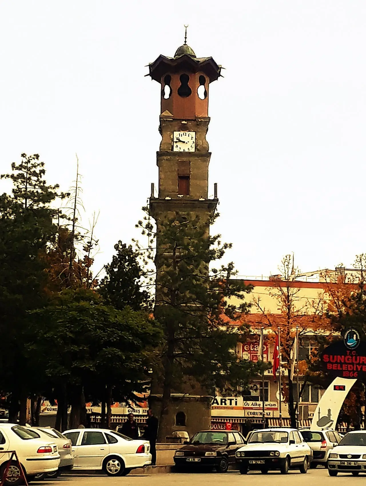 Photo: SAİT71 (CC BY-SA 4.0) · Source
 6 places to visit in the Sungurlu district of Çorum: Ulu Camii (Grand Mosque), Saat Kulesi (Clock Tower) and Sungurlu Saat Kulesi (Sungurlu Clock Tower). Plan your trip to Sungurlu with local food, practical tips and transport information.
Sungurlu is a district within the administrative boundaries of Çorum Province. Because it sits on the motorway between the Black Sea and the capital, the district centre has developed and has the largest central population of all Çorum’s districts. The district covers 1,999 km² and has an average elevation of 761 metres above sea level.
According to tradition, Sungurlu takes its name from Sunguroğlu Mehmet Bey. The area was ruled successively by the Assyrians, Hittites, Phrygians, Cimmerians, Mongols, Alexander and the Galatians before passing into the hands of the Romans and Byzantines. After the Battle of Malazgirt (Manzikert) in 1071, Sungurlu and its region were taken from the Byzantines by Danishmend Ahmed Gazi and passed under Turkish rule.
The Grand Mosque was left by the Seljuk bey Sungur Han.
Alongside traditional farming and livestock, Sungurlu is going through an economic transformation driven recently by defence industry investment and logistics projects. Large companies such as Goldforce and Arca Savunma have started operating in the Sungurlu Organised Industrial Zone, and the district has become a regional production base for the defence industry. The main crops grown across the district are wheat, barley, sugar beet and paddy rice.
In the Ottoman period, Sungurlu became a district and municipality in 1866. The name Sungurlu is said to come from the Seljuk bey Sungur Han, who commissioned the Grand Mosque and its hammam.
The Sungurlu area was ruled in turn by the Assyrians, Hittites, Phrygians, Cimmerians, Alexander, Galatians, Romans and Byzantines. Sungurlu district has an average elevation of 761 metres above sea level. Restoration of Sungurlu’s 131-year-old clock tower has been started by the Ministry of Culture and Tourism.
Last updated:
The important religious building of Sungurlu, left by the Seljuk bey Sungur Han. It stands beside the municipal building.
View on map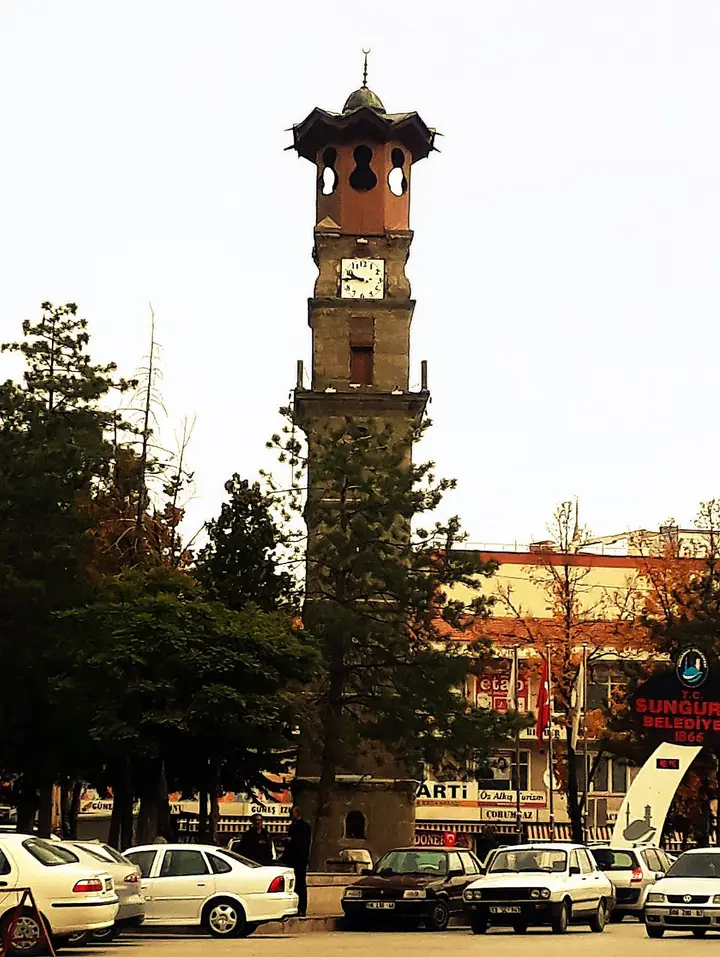 Photo: SAİT71 (CC BY-SA 4.0) · Source
 Built in 1891, the Clock Tower has become the symbol of Sungurlu. A fine example of Ottoman-era civil architecture, the tower stands in the district centre.
View on mapAn important archaeological site from the Hittite period, where relief-decorated pottery fragments and scenes of religious ritual were found at Hüseyindede Hill. Objects from the excavations are displayed in Çorum Museum.
View on map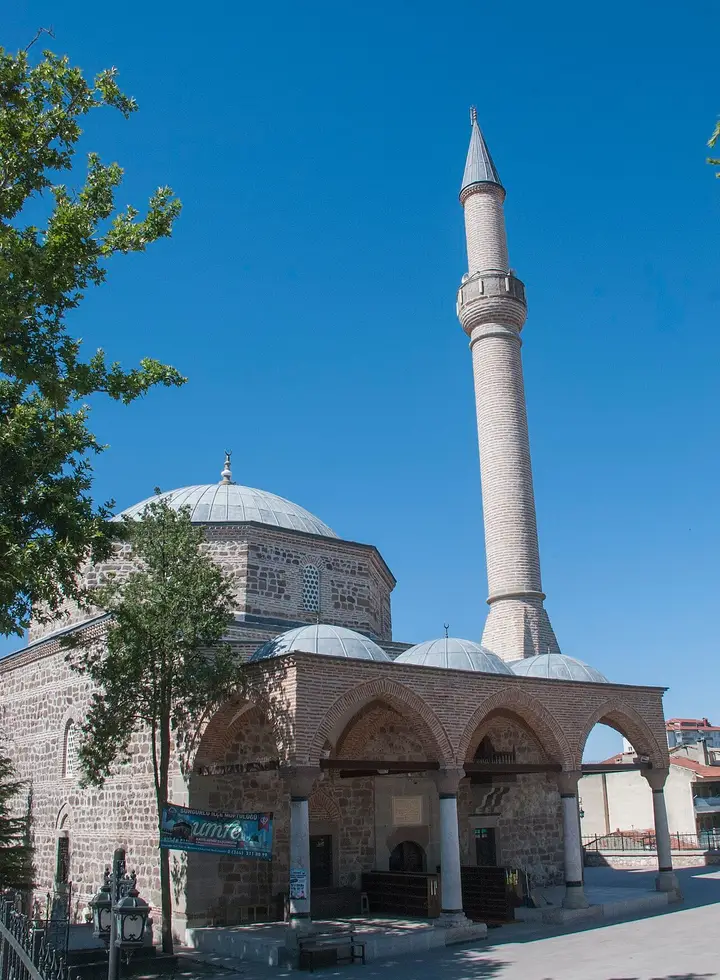 Photo: Acar54 (CC BY-SA 4.0) · Source
 Built in the Ottoman period, the Grand Mosque is the oldest and largest mosque in the district. It is notable for its stonework and traditional architectural features.
View on mapLocated on the Ankara–Samsun highway, Sungurlu is a stopping point where travellers take a break. The bazaar sells Çorum leblebi (roasted chickpeas), local socks and handmade products.
View on mapWhile you are in Sungurlu, you can also see the highlights of Çorum province. These places are in other districts; Sungurlu is about 72 km from the provincial centre.
Sungurlu is one of the busiest stops on the Ankara–Samsun road for leblebi sales. Bus passengers traditionally buy leblebi here.
A warm lentil soup served in roadside restaurants in Sungurlu, a favourite of travellers taking a break on long journeys.
Made by simmering pounded wheat and meat for a long time and then pounding it. It is the traditional dish of wedding and holiday tables in Sungurlu.
Sungurlu and its surroundings bear traces of settlement from the Hittite, Assyrian, Phrygian, Galatian and Roman periods. Excavations at Hüseyindede Hill reveal the region's importance in antiquity.
Lying on the main Ankara–Samsun highway, Sungurlu has been an important stopover and trading post throughout history. This location has shaped the district's commercial and cultural identity.
Sungurlu's economy is based on agriculture, industry and trade. Sock production is the district's most important industrial activity. Wheat, barley and sugar beet are the main farm products. Thanks to its location on the Ankara–Samsun highway, trade and services have developed.
Sungurlu is 72 km south-west of Çorum city centre. It lies on the main Ankara–Samsun highway and has intercity bus connections to all major cities.
The 6 highlights of Sungurlu: Grand Mosque, Clock Tower, Sungurlu Clock Tower, Hüseyindede Hill, Sungurlu Grand Mosque and Sungurlu Bazaar.
Çorum Leblebisi (roasted chickpeas), Mercimek Çorbası (lentil soup) and Keşkek (pounded wheat and meat) are the standout dishes on Sungurlu's tables.
Sungurlu is known for sock production and its Hittite heritage. Sungurlu is one of Türkiye's leading sock-manufacturing centres. The district has many sock factories, and production is sold domestically and abroad.
Sungurlu is 72 km south-west of Çorum city centre. It lies on the main Ankara–Samsun highway and has intercity bus connections to all major cities.
Suggested visit length: half a day. Best time to visit: spring and autumn.