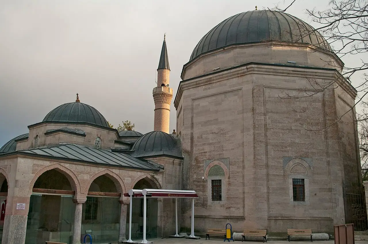
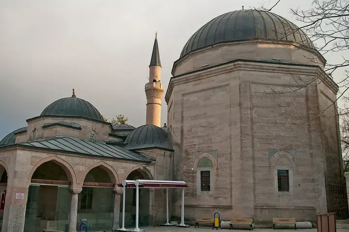
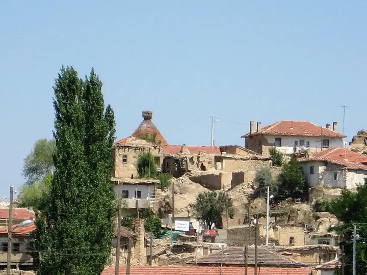
Known in antiquity as Nakoleia, Seyitgazi lies 43 km south of Eskişehir. The district takes its name from Battal Gazi, who fell as a martyr in the Arab campaigns to spread Islam into Anatolia. The district covers 1,578 km², has an elevation of 987 metres and a population of 12,565.
History
The first settlement dates from between 3500 and 3000 BC, and the main period of settlement began around 800–600 BC. After the area was taken from the Byzantine Empire, 70–80 Turkmen households were settled there and it was named Türkmen Köyü (Turkmen Village). After the Seyyid Battal Gazi Complex was built, the settlement took its name from it and became a lively centre. In 1531, six quarters, Karacapınar, Hatıplar, Belenk, Kalfal, Yenice and Özbek, were established by a decree sent by Suleiman the Magnificent.
Culture
Traditional weaving types include zili, cicim and gökmendil. Hand-knitted socks are common in the district, with patterns such as ram’s horn, notched and bramble-leaf motifs. Handmade lace (oya) is widespread in the district, and bead, shuttle and thread lace are made.
Geography and Economy
The district’s economy is based on agriculture and livestock farming. Apart from Eti Maden İşletmeleri, there are flour, feed, oil, explosives and chemical-machinery industries. Grains, sugar beet and pulses are commonly grown, and people get their bread from ovens known as tandır.
History and Culture
Seyyid Battal Gazi was martyred in 740 near Seyitgazi in Eskişehir, from a wound he received in battle. Seyitgazi lies on the Istanbul–Baghdad–Hijaz route and became a stopping point for those travelling on pilgrimage. Suleiman the Magnificent visited Seyitgazi during his Persian campaigns and had additions made to the complex. The complex first became the centre of the Kalenderi dervishes and later of the Bektashi order.