İslahiye is a district in the south-west of Gaziantep province. Although administratively part of Gaziantep, it belongs to the Mediterranean Region, and its climate, vegetation and farming resemble those of the Mediterranean Region. The district covers 865 km², has an elevation of 538 metres and a population of 66,107.
History
İslahiye is one of the oldest settlement areas of Gaziantep province. Research on the mounds of İslahiye Plain shows that settlement began in the Early Chalcolithic period (5500–5000 BC). Excavations at the mounds of Tilmen, Gedikli and Zincirli show that it was an important settlement in the Late Hittite period. Around 1400 BC the Luwians and Hittites settled in Sam’al, followed by the Aramaeans, and towards the end of the 800s BC the Assyrians came to dominate. In 333 BC Alexander the Great came as far as here and founded a new city, to which the Roman commander Pompey later gave the name Nikopolis. In 1516 Yavuz Sultan Selim incorporated the region into Ottoman lands and appointed Kösebekir Bey as its governor. The expedition unit known as the Fırka-i İslahiyye (Reform Division), formed in 1864, established a new settlement here in 1866, settling tribal members brought down from the mountains.
Economy
The district’s economy is based on agriculture, livestock farming and forestry. The main crops are wheat, onions, sugar beet, cotton, barley, pulses, olives, red pepper, garlic, soya beans, maize and grapes. In the mountainous areas, cattle, sheep and goats are raised. The land contains bauxite and dolomite deposits, as well as many stone quarries and ready-mix concrete firms.
History and Culture
The ruins of the city of Nikopolis (İslahiye) are among the historic remains that have survived in the district. The Roman commander Pompey gave the city the name Nikopolis, which was given in memory of a military unit. According to one source, the people of İslahiye defeated the French at Güvercin Pass, and the French left the region on 13 November 1920. With the Ankara Agreement signed on 20 October 1921, the Turkish–Syrian border was redrawn and the İslahiye border was determined. The district was severely damaged by the 2023 Kahramanmaraş earthquakes.
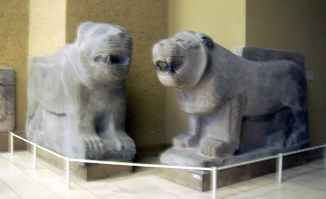
 Photo: Picture taken by Marcus Cyron (CC BY-SA 3.0) · Source