6 places to visit in the Altıntaş district of Kütahya: Zafer Airport, Beşkarış Dam and Altıntaş Mound. Plan your trip to Altıntaş with local food, practical tips and transport information.
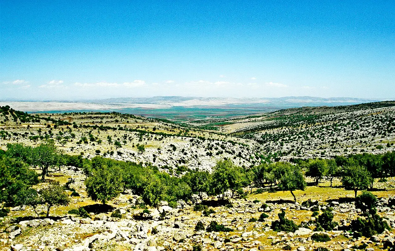
Altıntaş is a district of Kütahya Province, located 50 kilometres from the provincial centre. The district lies at a strategic junction between the Kütahya-Afyonkarahisar and Kütahya-Uşak-İzmir roads. The Altıntaş district covers an area of 941 square kilometres and lies at an altitude of 1,031 metres above sea level.
History
In antiquity the name of the region appears on coins as Soa, and traces of old settlements are found in many parts of the area. During the War of Independence, the Great Offensive and the Battle of Dumlupınar (Başkomutanlık Meydan Muharebesi) took place within the district’s boundaries.
Economy and Agriculture
The main livelihood of the district is agriculture. Wheat, poppy, barley, sugar beet, beans and chickpeas are the important crops grown. Although the region has rich marble deposits, facilities for processing them are insufficient.
History and Culture
A monumental Roman-period tomb was uncovered in Osmaniye village. The administrative centre of the Battle of Dumlupınar was established in this region. The Şah Kulu rebellion was suppressed in this area during the reign of Bayezid II. Zafertepeçalköy has been placed under protection as a National Park and conservation area.
Last updated: