13 places to visit in the Yıldırım district of Bursa: Yıldırım Bayezid Mosque, Emir Sultan Mosque and Green Mosque. Plan your trip to Yıldırım with local food, practical tips and transport information.
Yıldırım is the largest metropolitan district in the centre of Bursa after Osmangazi, and was founded on 18 June 1987. The district covers an area of 110 km² and has an average elevation of 157 metres above sea level. According to the 2020 census, the district’s population is 657,176, and it receives heavy migration from outside.
Name and Geographical Location
The district’s name comes from Yıldırım Bayezid, the fourth Ottoman sultan. Set on the foothills of Uludağ, the district has Kestel and Gürsu to the east and Osmangazi to the north and west.
Historic Buildings
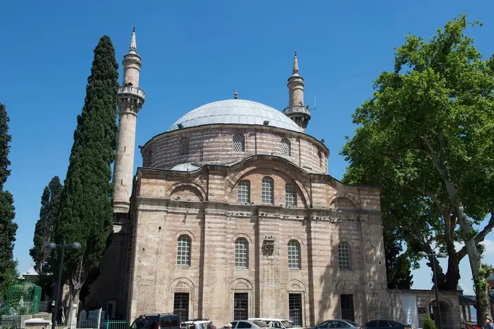
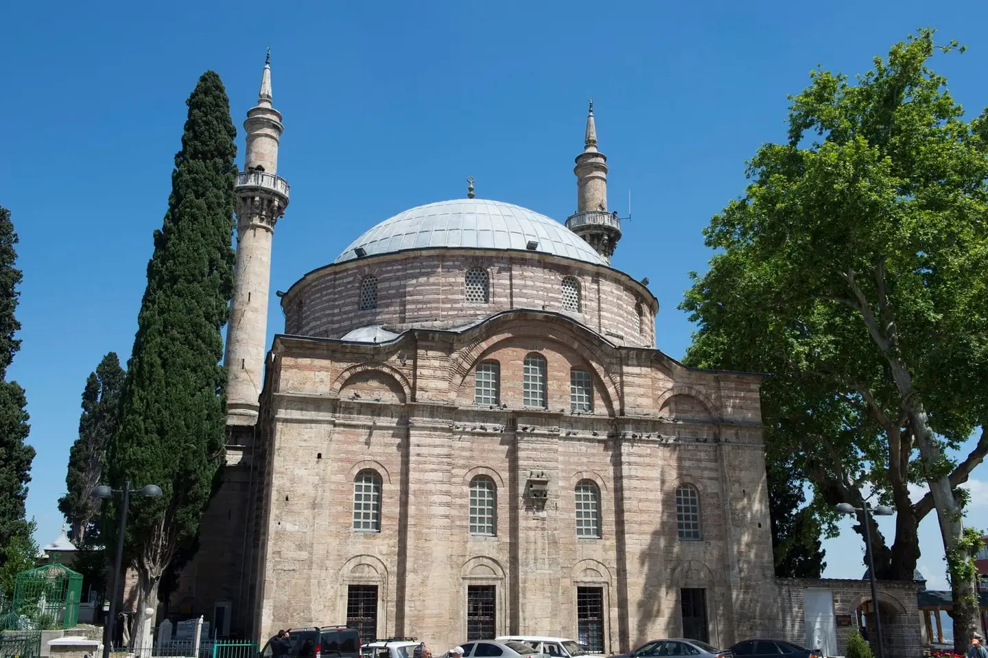
In the district, named after Yıldırım Bayezid, there are countless historic buildings from the Ottoman period, including the Yıldırım Mosque, Yıldırım Hammam, Yeşil Mosque and Yeşil Türbe. The Emir Sultan Mosque, Emir Sultan Tomb and Emir Sultan Fountain are also important historic structures in the district.
Transport
Transport within the district is provided by metro, tram, bus, minibus and dolmuş. The cable car in Teferrüç Neighbourhood makes it possible to reach Uludağ.
History and Culture
Yıldırım is the largest metropolitan district in the centre of Bursa after Osmangazi. The district’s population was 657,176 at the 2020 census. The Yıldırım Tomb is the first arcaded tomb in Ottoman architecture. Access to Uludağ by cable car is possible from Teferrüç Neighbourhood.
Last updated: