Hacı Abdullah Halife Complex
A complex in Tekke village, an important building for Islamic heritage.
View on map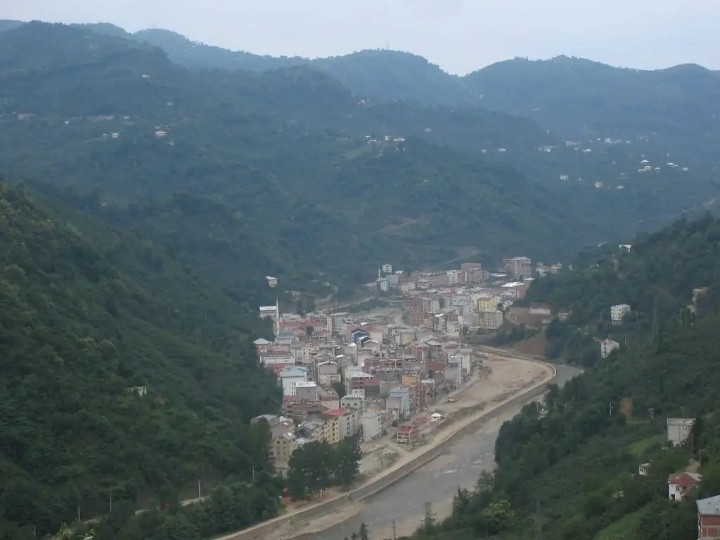
7 places to visit in the Yağlıdere district of Giresun: Hacı Abdullah Halife Complex, Yağlıdere Valley and Yağlıdere Plateaus. Plan your trip to Yağlıdere with local food, practical tips and transport information.
The district takes its name from the Yağlıdere, beside which it was founded. The name remains from the Greeks who produced milk and butter on the plateaus of Çakrak Village, where the stream rises. The area came under Turkish rule at the end of the 11th century and remained under the Empire of Trebizond between 1200 and 1400. In 1811, when local people built a Friday mosque beside the stream, the settlement of Yağlıdere began to form. It gained municipal status and became a town on 29 February 1972, and in 1987 it separated from Espiye district to become an independent district.
Yağlıdere lies 14 km inland from the sea, and the average elevation of the district centre above sea level is 104 metres. The district covers an area of 327 km². The typical Black Sea climate prevails: summers are cool and winters are mild and rainy. Annual rainfall is 1,300 mm, and the annual average temperature is 14 °C.
The district’s economy is based on agriculture, livestock, beekeeping and forestry, chiefly hazelnuts. At the beginning of the 1960s, migration to the USA began, and the first emigrants from Yağlıdere went mainly to cities such as New York, New Jersey and Paterson. The Yağlıdere community settled in America refers to the district as “New Yağlıdere”, and more people from Yağlıdere live in America than in the district’s population. It is estimated that around 50,000 people of Yağlıdere origin live in America.
The settlement began with the Friday mosque built beside the stream in 1811. The district was established by law in 1987, and the kaymakamlık began work in 1988. The majority of the district’s people are Çepni Turkmen. Ottoman rule began after the conquest of Trabzon by Fatih Sultan Mehmet. A large Yağlıdere community that emigrated from the district lives in America.
Last updated:
A complex in Tekke village, an important building for Islamic heritage.
View on map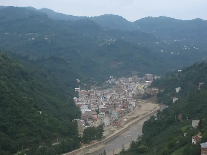
The valley of the Yağlıdere Stream, which gives the district its name, is a route well suited to nature walks and photography, with lush forests and deep canyons.
View on mapThe highland pastures in the upper parts of the district are favoured for camping and nature tourism in summer for their cool air and natural beauty. Their endemic plant species and butterfly diversity attract the interest of naturalists.
View on mapWhile you are in Yağlıdere, you can also see the highlights of Giresun province. These places are in other districts; Yağlıdere is about 30 km from the provincial centre.
Made by cooking corn flour, butter and fresh cheese in a copper pan, kuymak is an essential part of Yağlıdere's breakfast tables.
Prepared with karalahana (collard greens), corn flour and beans, this traditional soup is the staple of Yağlıdere's winter tables.
Yağlıdere is a small district where the traditional village life of the Black Sea is preserved. Wooden houses, serenders and traditional farming methods are still practised here.
Yağlıdere's economy is based on hazelnut farming and livestock. Beekeeping is also an important source of livelihood.
Yağlıdere is about 30 km from Giresun provincial centre and is reached by road. Ordu-Giresun Airport is about 50 km away.
The seven highlights in Yağlıdere are Hacı Abdullah Halife Complex, Yağlıdere Valley, Yağlıdere Plateaus, Gölyanı Settlement, Kırkharman (Akpınar) Church, Tekkeköy Mosque and Yağlıdere (Ağa) Bridge.
Kuymak and Karalahana Çorbası are the standout dishes on Yağlıdere's tables.
Yağlıdere is known for its hazelnuts and its Black Sea village life. Hazelnuts grown in the district's humid climate form the basis of its economy.
Yağlıdere is about 30 km from Giresun provincial centre and is reached by road. Ordu-Giresun Airport is about 50 km away.
Suggested visit length: half a day. Best time to visit: summer months (June–August).