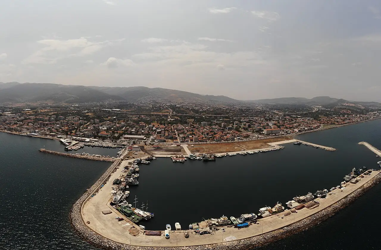
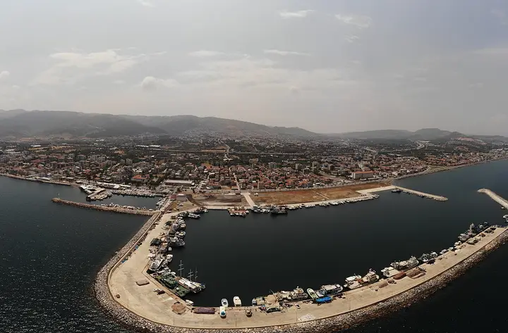
 Photo: BSRF (CC BY-SA 4.0) · Source
 5 places to visit in the Güzelbahçe district of Izmir: Güzelbahçe Fishing Harbour, Kahramandere Beach and Güzelbahçe Art Village. Plan your trip to Güzelbahçe with local food, practical tips and transport information.
Güzelbahçe is a district of İzmir province, lying 22 metres above sea level. The district covers an area of 77 km² and has 12 neighbourhoods. It separated from the former district of Narlıbahçe on 29 December 1993 and became a district.
History
Güzelbahçe, whose earliest name was Kilizman, became the sub-district centre of Urla in 1936 under the name Kızılbahçe. On 6 July 1957 it took its present name, separated from Urla and became a sub-district centre attached to Merkez district. The abolition of the municipality after the military coup of 12 September 1980, and the attachment of the area to İzmir Municipality as a neighbourhood, halted Güzelbahçe’s development.
Geography
The district’s coastline is the section between Limanreis, Narlıdere and Çamlıçay, near Urla. The district has eight beaches along its coast, one of which holds the Blue Flag award. İnkaya Cave is located in the district.
Population and Economy
As of 2015, Güzelbahçe had an average household income of ₺2,847, making it the district with the highest average household income in İzmir. The district’s economy is based mainly on fishing and agriculture.
Culture
The Payamlı Bardacık Festival has been held every year in the district since 2013, and the Traditional Turkish Handicrafts Festival has been held since 2014.
History and Culture
Güzelbahçe took its present name in 1957 and separated from Urla. It became a separate district on 27 December 1993. The Payamlı Bardacık Festival has been held in the district since 2013, and the Traditional Turkish Handicrafts Festival since 2014.
Last updated: