It is counted among the world’s few quiet towns.
History
The district’s former name was Vona, which appears on an Ottoman map of 1914. After Fatih Sultan Mehmet ended the Empire of Trebizond in 1461, the area came under Ottoman rule. It became a district in 1945, when the central sub-district consisted of 34 villages.
Geography
The district lies on the old Ordu–Samsun state highway, at the natural harbour bay of Vona. It is bordered by the Black Sea to the north, Altınordu to the east, Fatsa to the west, and the districts of Ulubey and Gürgentepe to the south.
Natural Areas and Historic Structures
The island was registered as a second-degree archaeological site in 2004. Hoynat Island attracts considerable interest, particularly from birdwatchers. Yason Cape Peninsula is located 15 km from Perşembe district centre, within the boundaries of Çaytepe village. Yason Church stands on the Yason Cape peninsula, within the boundaries of Çaytepe village.
History and Culture
Perşembe was founded on the slope of Kordon Hill at the natural harbour bay of Vona. Perşembe became a district on 25 June 1945. Perşembe is a member of the Cittaslow (Slow City) network.
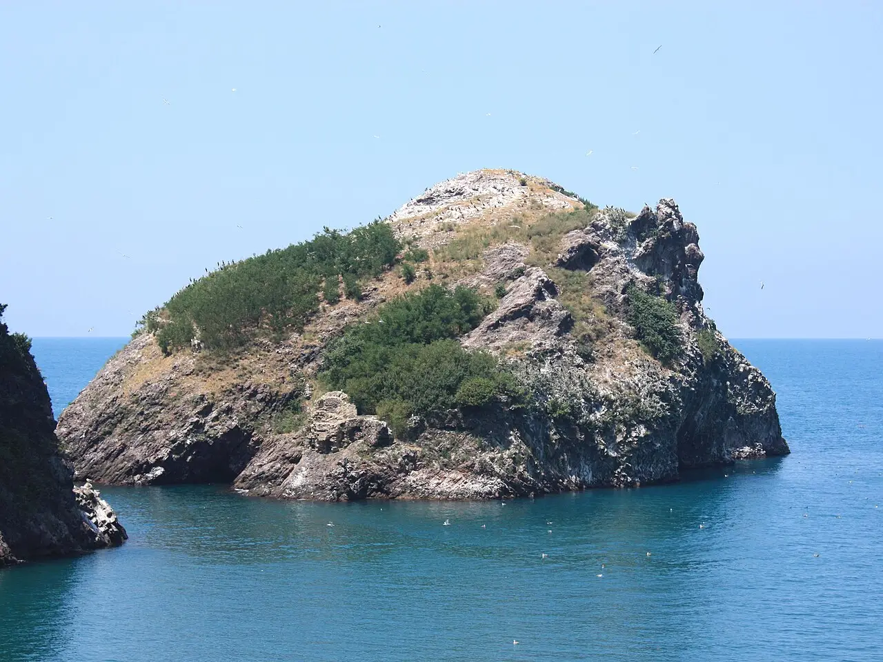
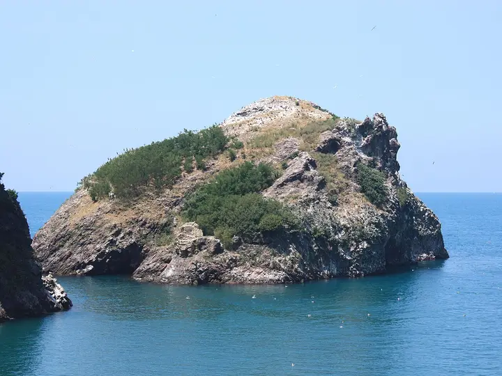 Photo: Asımcaga (CC BY-SA 4.0) · Source