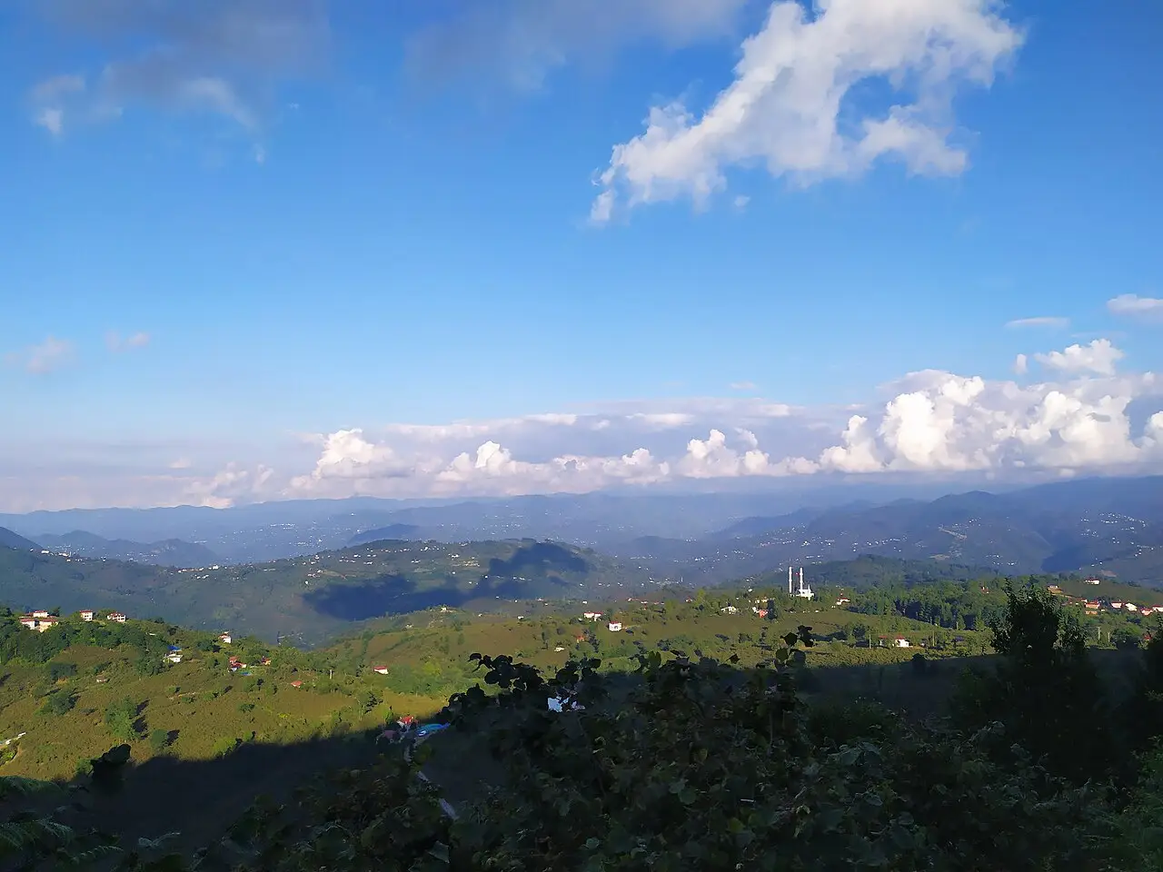
8 places to visit in the Ulubey district of Ordu: Salı Pazarı, Ulubey fındık bahçeleri and Küpkaya Canyon. Plan your trip to Ulubey with local food, practical tips and transport information.
Ulubey is one of the districts of Ordu province. It covers an area of 295 km² and has a mountainous landscape at an elevation of 585 metres. Because it is 21 km from Ordu, it has many interactions with Ordu.
History
The lands of Ulubey were largely empty in the 11th and 12th centuries, when the Oghuz tribes began migrating to Anatolia. After the Battle of Malazgirt in 1071, it was settled by tribes belonging to the Çepni tribes. After Fatih Sultan Mehmet Han distributed the Ulubey lands as tımar in 1455, it became a nahiye named after a Turkmen bey. In 1547 it took the name Ulubey nahiyesi, and on 1 April 1958 it became a district.
Geography
It was founded on the Ordu-Sivas highway and on the slopes of the Canik Mountains. It borders Perşembe to the north-west, Gürgentepe to the west, Mesudiye to the south, Gölköy to the south-west and Kabadüz to the south-east. The district has a climate that is an extension of the Black Sea climate, with rainfall in every season: snow in winter and rain in summer.
Markets and Social Structure
Because of the market set up on Tuesdays, idioms such as “going to Salı”, “coming from Salı” and “meeting at Salı” are used among the people. There is also a used car market in the region. Due to economic difficulties in recent years, social structure has been affected and family ties have weakened.
History and Culture
In 1455, Fatih Sultan Mehmet distributed the Ulubey lands as tımar. After the Battle of Malazgirt, Turkish tribes and clans settled in Ulubey. The Akoluk Bridge is an estimated 150-200-year-old bridge.
Last updated: