Altınyayla Plain
A plain in the north of the district. It was known as the Tonus Plain in the Ottoman period.
View on map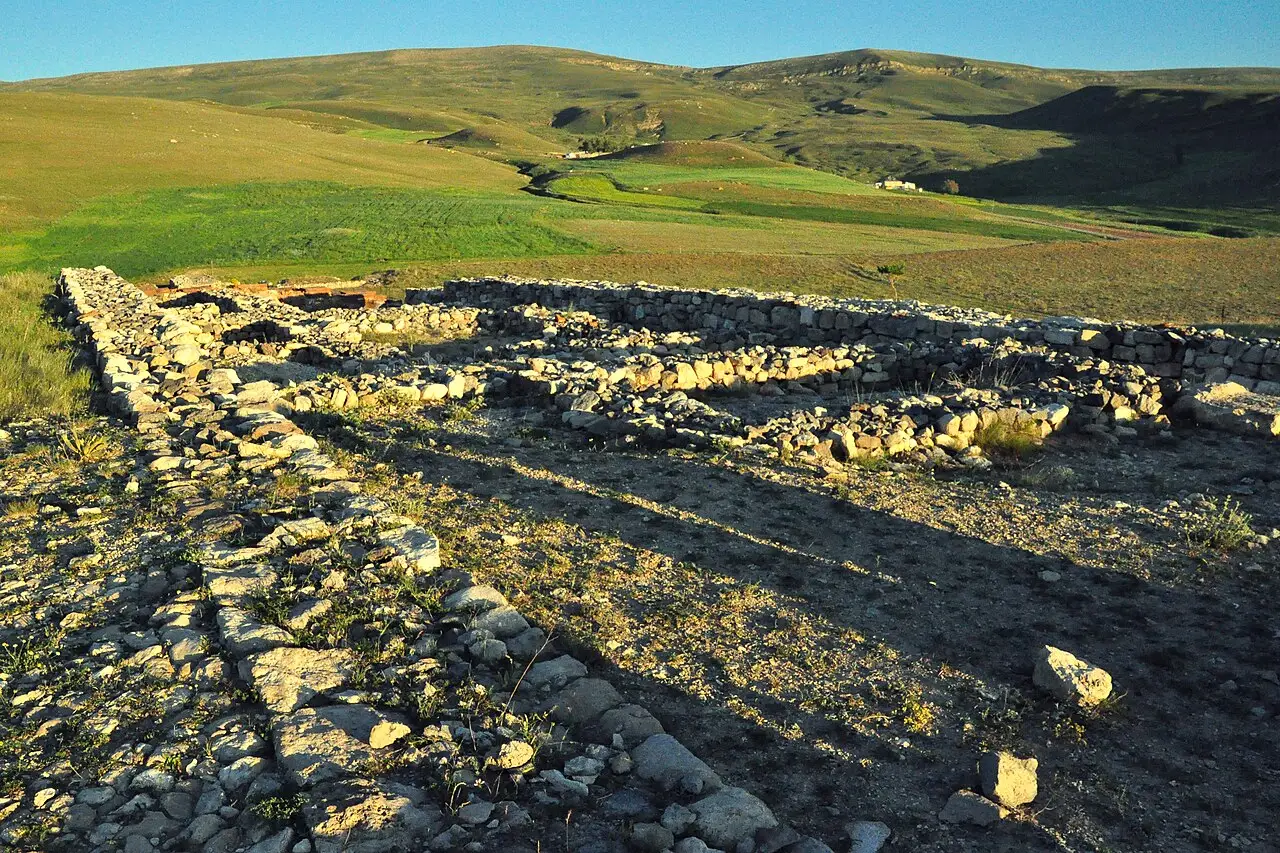 Photo: Panegyrics of Granovetter (CC BY-SA 2.0) · Source
 5 places to visit in the Altınyayla district of Sivas: Altınyayla Plain, Tödürge Lake (South Shore) and Sarissa Ancient City. Plan your trip to Altınyayla with local food, practical tips and transport information.
Altınyayla is a district of Sivas province. It is bordered by Şarkışla to the north-west, Ulaş and Sivas to the north-east, Kangal to the south-east, and Pınarbaşı (Kayseri) to the south-west. The district covers 654 km² and has an average elevation of 1,453 metres above sea level.
The Altınyayla district was founded six centuries ago and was formerly called Tonus. From the earliest ages of its history, it became one of the settlement centres of the Hittite, Roman, Seljuk and Ottoman civilisations. An important stopping place during the Ottoman Empire, Altınyayla underwent a name change in 1972 and gained district status in 1990.
About 70% of the land is plateau and 30% is mountainous. In the south-west there is Karatonus Mountain, in the north the Tonus Plain, in the south the İncecik and Mergesen Plateau, and in the south-east the Yücekaya Plateau. The district has the continental climate typical of Central Anatolia.
The district is a settlement with the former name Tonus, thought to have been founded six centuries ago. Tonus took the name Altınyayla in a name change in 1972. Sarissa is the fifth centre where Hittite kings carried out their summer work and where tablets were found. One of the most important finds from the Sarissa excavations is the Twin Bull Rhyton statue.
Last updated:
A plain in the north of the district. It was known as the Tonus Plain in the Ottoman period.
View on mapThe south shore of Tödürge Lake, near Altınyayla, is a suitable area for birdwatching.
View on map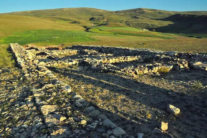 Photo: Panegyrics of Granovetter (CC BY-SA 2.0) · Source
 A Hittite-period settlement in the Akkuzulu hamlet of Başören village. Tablets found in excavations confirmed the city's name as Sarissa.
View on mapThe mosque in Aydın Quarter dates from 1893. It is noted for its wooden ceiling and painted decoration, and was restored in 2020.
View on mapIn the south-west of the district lies Karatonus Mountain, to the north the Tonus Plain, and to the south the İncecik and Mergesen plateaus.
View on mapWhile you are in Altınyayla, you can also see the highlights of Sivas province. These places are in other districts; Altınyayla is about 60 km from the provincial centre.
Made with minced meat and spices, Sivas köftesi is also served in the traditional way in Altınyayla.
Prepared by slow-cooking wheat and meat and then pounding them, keşkek is indispensable at wedding feasts. Pounding the wheat and boiling it with meat for hours is a process that requires patience.
Altınyayla is a district with a strong farming culture thanks to its fertile plain. This tradition is passed down from generation to generation as an important element of the local people's cultural identity.
Altınyayla's economy is based on agriculture and livestock farming. Wheat and barley are the main agricultural products.
Altınyayla is 60 km from Sivas city centre. It is reached by road via Sivas.
The 5 highlights in Altınyayla: Altınyayla Plain, Tödürge Lake (South Shore), Sarissa Ancient City, Altınyayla Central Mosque and Karatonus Mountain, Tonus Plain and plateaus.
Sivas Köftesi and Keşkek are the standout dishes on Altınyayla's tables.
Altınyayla is known for its wheat and its farming culture. Wheat farming is the main source of livelihood in Altınyayla.
Altınyayla is 60 km from Sivas city centre. It is reached by road via Sivas.
Suggested visit length: half a day. Best time to visit: spring and autumn.