The district was founded in the Kızılırmak basin, on the Sivas–Erzincan highway.
History
The first settlement in the district was at Pılır Mound, near the northern shore of Hafik Lake, and it shows Neolithic characteristics. Analysis of the pottery collected at Tekur Castle in Beypınarı village has shown that the area was settled during the Hellenistic-Roman period, the Middle Ages and the Early Bronze Age.
Geography
The average elevation of Hafik district centre above sea level is 1,311 metres, and the E-23 highway passes through the district. It borders Sivas to the west, Zara to the east, Tokat to the north-west, Doğanşar to the north and Kangal to the south. The district has many lakes, the largest of which is Hafik Lake.
Hafik Lake
Hafik Lake, 2.1 km north of the district, lies in a karstic basin formed on a gypsum plateau and is about 2 metres deep.
Lota Lake
Lota Lake, 5 km east of the stream that drains Hafik Lake, lies in the ceiling of a broad, flat-shaped uvala opened on a gypsum plateau. Its morphology is quite different from that of Hafik Lake, and it offers the finest examples of the landforms that develop on gypsum.
History and Culture
Hafik became a district in 1873 under the name Koçhisar, and in 1926 it took the name Hafik once again. Finds from the excavations at Pılır Mound have been dated to the Neolithic, Chalcolithic and Copper Age. In 1224 the Seljuk sultan I. Alaaddin Keykubat passed through Sivas on his way to an eastern campaign. Hafik Culture and Arts Festival is held in the district every year.
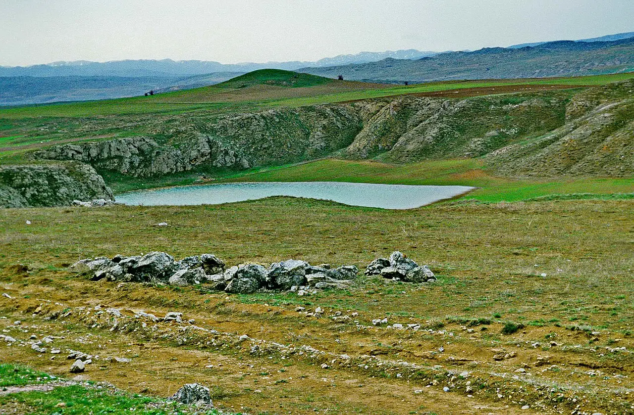
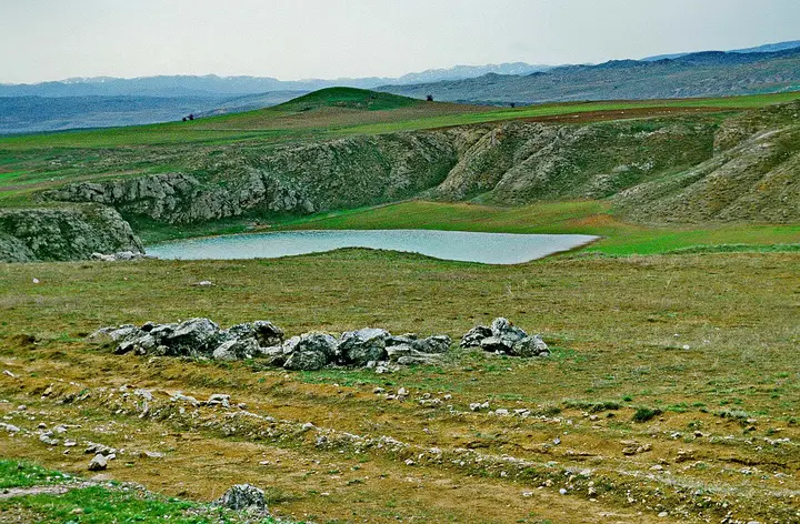 Photo: Volker Höhfeld (CC BY-SA 4.0) · Source