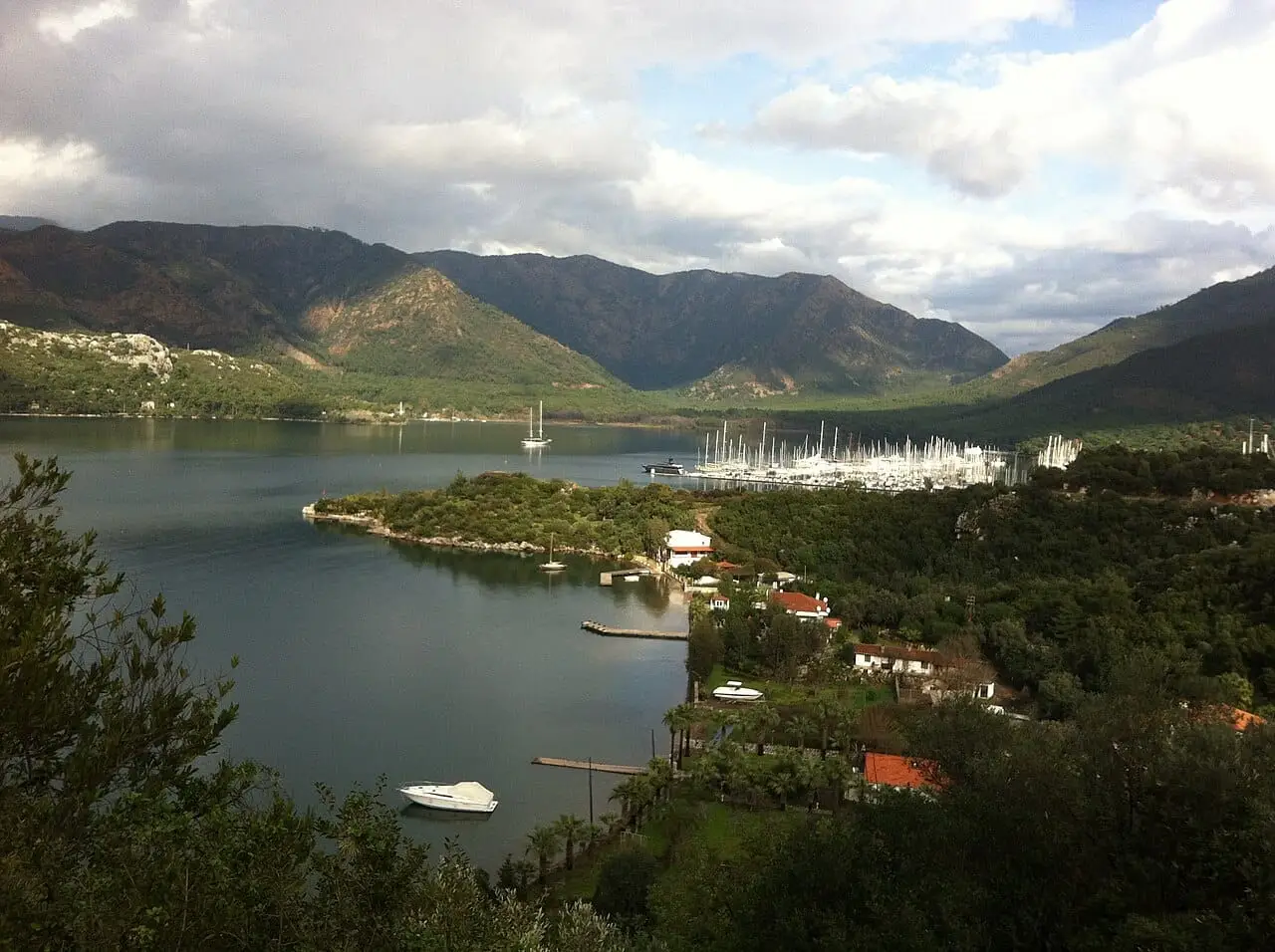
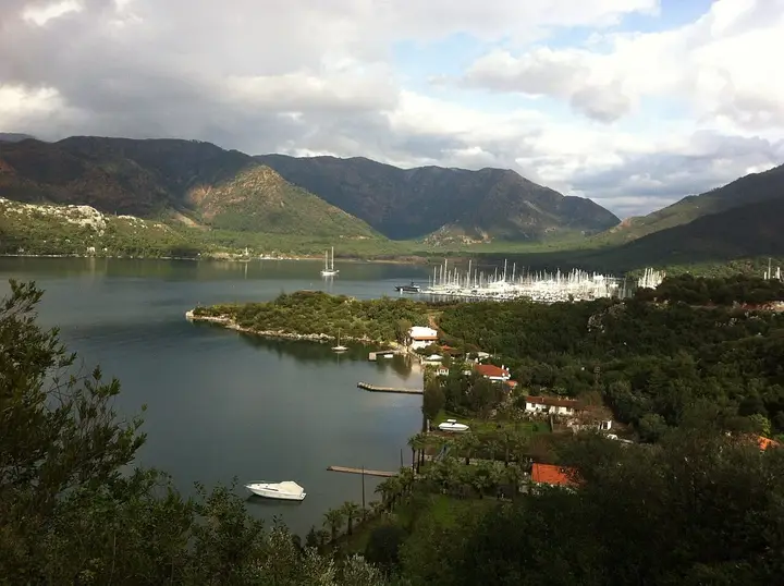
Marmaris is one of the 13 districts of Muğla Province. The district covers 906 km², and the district centre lies at an average height of 6 metres above sea level.
Geography
Marmaris is bordered by the Datça Peninsula and Kerme Gulf to the west, Ula to the north, Balan Mountain, Karadağ and Günlük Hills to the east, and the Mediterranean to the south. In front of the gulf, Adaköy is joined to the shore by a narrow tongue of land, and in front of it lie Sedir Island, Keçi Island and Güvercin Island.
Climate
The district has a Mediterranean climate, with hot, dry summers and mild, very rainy winters. Marmaris is one of the regions receiving the heaviest rainfall after the Black Sea Region, and its annual rainfall exceeds 1,200 mm.
History
Marmaris’s history goes back as far as 12000 BC. Fiskos was the city’s first name, and its remains can still be seen at the site known today as Asartepe. In 334 BC Alexander the Great occupied the region. Ottoman Sultan Suleiman the Magnificent set out on the Rhodes campaign in 1520-1522, came to Marmaris with an army of 150,000 men and conquered Rhodes.
History and Culture
Marmaris is where Suleiman the Magnificent arrived with an army of 150,000 on his Rhodes campaign in 1520-1522. In the 1957 earthquake Marmaris was almost completely destroyed.