Ortaca is one of the 13 districts of Muğla. The district covers 285 km², and its centre lies at an average altitude of 28 metres above sea level.
History
The centre of the Dalaman subdistrict, attached to Köyceğiz, moved to Ortaca village in 1942, and the subdistrict was renamed Ortaca. While a village attached to Köyceğiz, it was made a town (belde) on 25 May 1959, and it became a district in 1987.
Geography and Economy
Ortaca lies east of Muğla province, bordered by Köyceğiz to the west and north, Dalaman to the east and the Mediterranean to the south. In Muğla province, Ortaca ranks 5th in trade and industry, after Milas, Fethiye and Marmaris.
Tourism
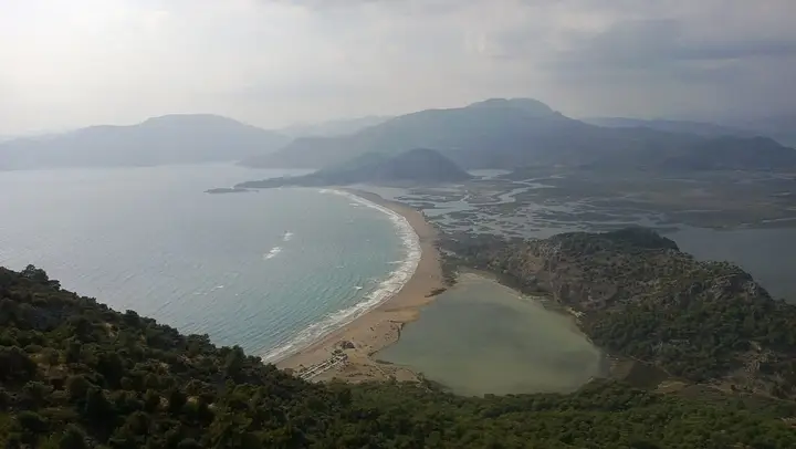
The Köyceğiz–Dalyan Lagoon system, a natural wonder of lakes and reed-fringed channels, is one of the district’s main attractions. The loggerhead turtles that lay their eggs on İztuzu Beach make Ortaca special. One of its most notable features is that living costs in the district are low compared with other tourist areas.
History and Culture
The Dalyan area was declared a Special Environmental Protection Area in 1998. The settlement was renamed from Terzialiler to Ortaca in 1943. Ortaca became a district in 1987. The first Ortaca Festival was held in 1992.
Highlights
In ancient times, the land of Ortaca lay within the borders of Caria. The 229 km Dalaman River, which flows from the north and passes along the west coast, forms the boundary between the Mediterranean and Aegean regions. In 1969, theatre and folk groups were formed in Ortaca at a time when there was still no electricity.
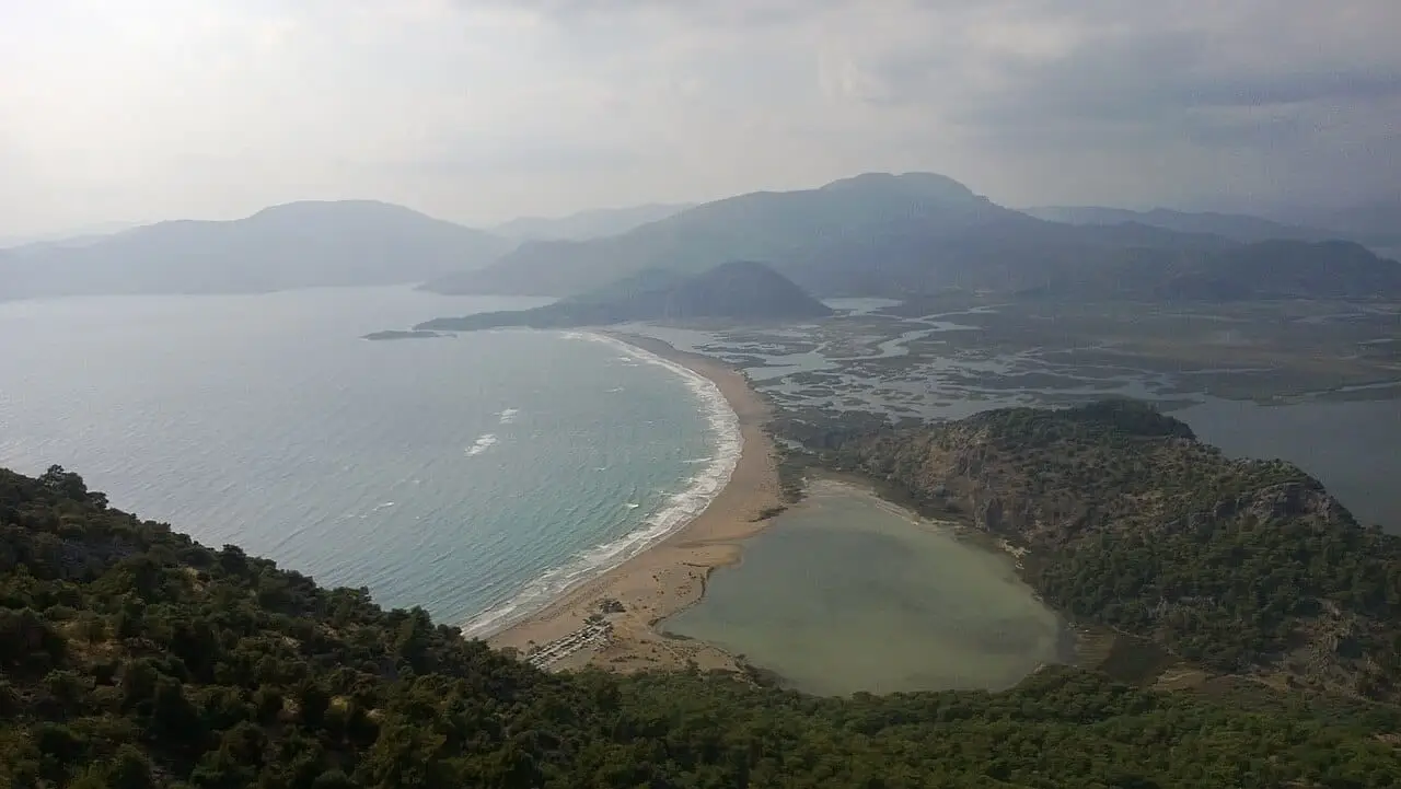
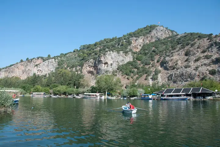 Photo: Wikipedia (CC BY-SA) · Source