Aras River Banks
The area that forms the foundation of the district's historic heritage. In antiquity it left remains in the villages of Salyamaç, Yolgören and Çelikli.
View on map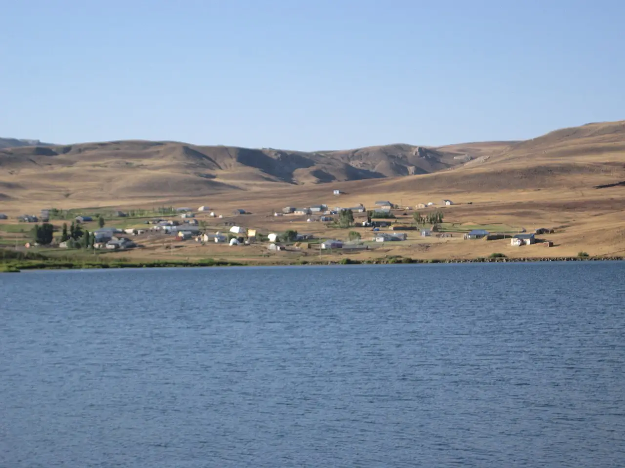 Photo: Mustafa urgun (CC BY-SA 3.0) · Source
 4 places to visit in the Karayazı district of Erzurum: Aras River Banks, Köyceğiz Reservoir and Çakmak Mountain. Plan your trip to Karayazı with local food, practical tips and transport information.
Karayazı is a district of Erzurum province, about 120 km from the provincial centre and 100 km from Ağrı province. The district covers 1,953 km², and its elevation above sea level is 2,278 metres. The district centre is built on a plain at an altitude of 2,287 metres.
The former name of Karayazı was Bayraktar, and the district was established in 1937. It remained a neighbourhood attached to Hınıs until 1938. The Karayazı Municipality was founded in 1944.
Karayazı, one of the coldest places in Türkiye, has a harsh continental climate. Snow begins to fall in late October at the earliest and continues until the end of May. The average thickness of the snow cover is 75 centimetres, and outside the district it can reach up to 150 centimetres. The area, which receives heavy snowfall, has very fertile pastures.
Köyceğiz Reservoir serves as a picnic area. Çakmak Mountain is famous for its cold spring waters and, with its plateau air, is a perfect picnic spot. Gola Plateau lies at the foot of Göksu Pass (2,353).
The former name of the district was Bayraktar; until 1938 it was a neighbourhood of Hınıs. According to district governorship records, the district was founded by Bayraktar Han after Malazgirt. The Karayazı District Public Library, opened in 1975, serves from the teachers’ house with 7,600 books.
Last updated:
The area that forms the foundation of the district's historic heritage. In antiquity it left remains in the villages of Salyamaç, Yolgören and Çelikli.
View on map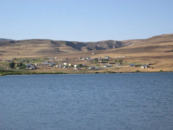 Photo: Mustafa urgun (CC BY-SA 3.0) · Source
 A mountain right behind Karayazı, known for its cold spring waters and wild flowers.
View on mapWhile you are in Karayazı, you can also see the highlights of Erzurum province. These places are in other districts; Karayazı is about 150 km from the provincial centre.
Cağ kebabı is prepared by roasting lamb on a horizontal spit over a wood fire. In Karayazı, it has a special flavour from the sheep raised on the district's wide pastures.
Traditional soup made with yoghurt, cracked wheat and mint, a nourishing dish that never goes missing from tables during Karayazı's cold winter days.
Soup made by cooking thin-cut pieces of dough in meat broth, one of the winter classics of Karayazı cuisine.
Because Karayazı lies in the Aras River basin, it has been settled since ancient times. Remains from the Urartian, Roman, Byzantine and Seljuk periods are found in the area.
Because of its location close to the Iranian and Ağrı borders, Karayazı has been an area where different cultures interacted throughout history. This geographic position has shaped the district's cultural diversity.
The economy of Karayazı rests largely on livestock farming. Cattle and sheep farming and dairy production are the main sources of income. Wheat, barley and fodder crops are grown.
Karayazı is about 150 km from Erzurum city centre. Access is by road via the Erzurum–Ağrı route. The nearest airport is Erzurum Airport. The district can be reached by minibus.
The four highlights of Karayazı are Aras River Banks, Köyceğiz Reservoir, Çakmak Mountain and Gola Plateau.
Cağ Kebabı, Ayran Aşı and Kesme Çorbası are the standout flavours on Karayazı's tables.
Karayazı is known for Karayazı Honey and the Settlement History of the Aras Basin. The flower honey gathered on the district's high plateaus has an aromatic and natural character thanks to the rich flora.
Karayazı is about 150 km from Erzurum city centre. Access is by road via the Erzurum–Ağrı route. The nearest airport is Erzurum Airport. The district can be reached by minibus.
Suggested visit length: half a day. Best time to visit: summer months (June–September).