Yarseli Dam
An artificial pond in Altınözü used for irrigation. With the construction of the Dostluk Dam, a larger irrigable area will be made available.
View on map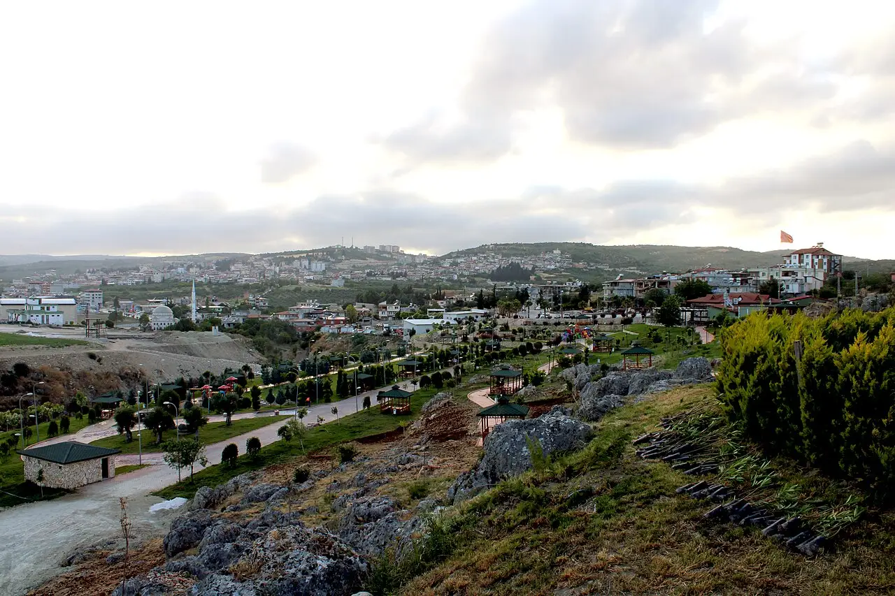 Photo: Bsrylmazz (CC BY-SA 4.0) · Source
 3 places to visit in the Altınözü district of Hatay: Yarseli Dam, Kuseyr River and Asi River. Plan your trip to Altınözü with local food, practical tips and transport information.
Altınözü is a district located in the south-east of Hatay, on the Syrian border. It covers an area of 392 km², lies at an altitude of 268 m and has a population of 69,834. It was established as a district in 1945 and has 48 neighbourhoods.
To the north of the district lies Antakya, to the west Yayladağı, and to the south and east Syria. There is a 50 km border between Altınözü and Syria. The district’s main river is the Kuseyr River, which joins the Asi River.
Altınözü is the district in Hatay where olive farming is most intensive. The earliest olive harvest in the world takes place in Altınözü. The soil is suitable for agriculture, and besides olive growing, tobacco, wheat, barley, peppers and various vegetables and fruits are grown. The Yarseli Dam, used for irrigation, is located in the district.
The name of the district appears in Ottoman-era land registry records in the Fatikli neighbourhood. It was brought under Ottoman rule by Yavuz Sultan Selim in 1515 and 1517. When Hatay joined Türkiye, the district was attached to Hatay on 23 July 1939.
The name Altınözü was given in the Ottoman period, in the Fatikli neighbourhood. Yavuz Sultan Selim brought the Kuseyr region under Ottoman rule during the Egyptian campaign of 1515–1517. Altınözü joined Hatay in 1945 and became one of Hatay’s nine districts.
Last updated:
An artificial pond in Altınözü used for irrigation. With the construction of the Dostluk Dam, a larger irrigable area will be made available.
View on mapThe district's main river, which rises at Kozkalesi, flows through Altınözü and then joins the Asi River.
View on mapAn important river flowing from the east of the district, forming the Türkiye-Syria border.
View on mapWhile you are in Altınözü, you can also see the highlights of Hatay province. These places are in other districts.
Altınözü Olive Oil was registered as a protected geographical indication on 18 October 2023 (TÜRKPATENT registration no. 1486). Product group: solid and liquid oils, including butter. Registered by: Altınözü District Governorship.
Cold meze prepared with fresh olive oil form the foundation of Altınözü's culinary culture.
Hummus, made by mashing chickpeas with tahini, lemon juice and olive oil, is an essential part of Altınözü's meze tables.
Altınözü is known for its olive farming tradition, which has continued for centuries. The olive harvest and olive oil production are an inseparable part of the district's cultural identity.
Altınözü's economy is based on olive oil production and agriculture. Olive, laurel and grain production are the main sources of income.
Altınözü is 25 km from Antakya. It is reached by road. Hatay Airport is approximately 45 km away.
There are 3 highlights in Altınözü: Yarseli Dam, Kuseyr River and Asi River.
Altınözü Olive Oil, Altınözü Zeytinyağlıları (olive oil dishes) and Hummus are the standout flavours on the tables of Altınözü.
Altınözü is known for Altınözü Cimemi and its Olive Culture. It is a product registered as a protected geographical indication with TÜRKPATENT.
Altınözü is 25 km from Antakya. It is reached by road. Hatay Airport is approximately 45 km away.
Suggested visit length: half a day. Best time to visit: spring (March–May).