9 places to visit in the Yayladağı district of Hatay: Yayladağı Border Gate and Panoramic View, Topraktutan Village (Türkiye's Southernmost Point) and Yayladağı Mountain Forests. Plan your trip to Yayladağı with local food, practical tips and transport information.
History
The district centre is believed to have been founded in the 9th and 10th centuries. Kasım Bey, head of the Avar Turkish Savcılar tribe, took these lands from Byzantium and had a mosque, a bridge and a school built. In the period of Yavuz Sultan Selim, Turks were settled in this region, and because he stayed here with his army on his return from the Egyptian campaign, the place was called ‘ordu’ (army). In 1938 Yayladağı joined the Independent Hatay Republic, and in 1940 it was renamed ‘Yayladağı’.
Climate and Vegetation
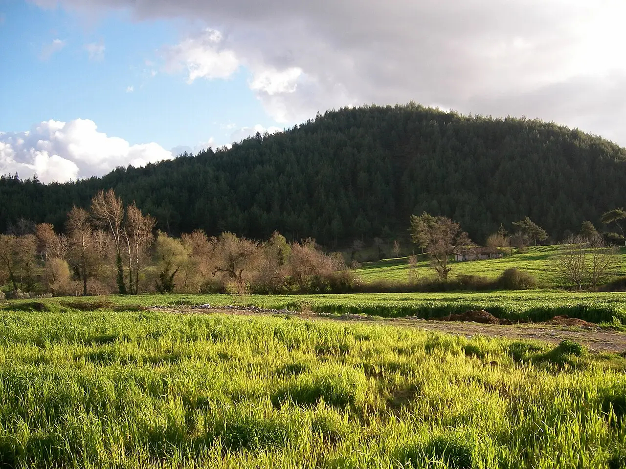
Yayladağı has a Mediterranean climate, with hot, dry summers and rainy, mild winters. The district’s soils are generally covered by forests of pine, sandal and oak trees.
Agriculture and Livestock
Of the cultivated land in the district, 15,000 decares are devoted to olive growing, 42,000 decares to grain and 15,000 decares to vegetable cultivation.
History and Culture
Yayladağı was known under the names Ordu-Muradiye in the Ottoman period. In 1940 the name was changed to Yayladağı because it was being confused with Ordu. At the end of the First World War the district was occupied by the French and remained under French rule for 18 years. Yayladağı became a district under Law no. 3711, published in the Official Gazette in 1939. Research has shown that this church on Keldağ is about 1,700 years old.
Highlights
Yavuz Sultan Selim stayed here with his army on his return from the Egyptian campaign, which is why the place was named “Ordu”. Coins from three periods were found during excavations of the Harabe Kilise (Barlahan) on Keldağ, west of Yayladağı.
Last updated: