Getting to Know Iğdır
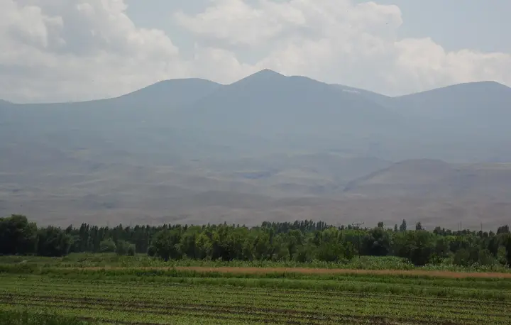
Iğdır lies at the far eastern tip of Türkiye, on the basin plain formed by the Aras River. The province borders Armenia to the north along the Aras, Nakhchivan (part of Azerbaijan) to the east and Iran to the south-east; Dilucu, Türkiye’s only gate onto Nakhchivan, is here. About two-thirds of the area of Mount Ağrı (5,137 m), which rises to the south, lies within Iğdır, and the northern face of the mountain can be seen in all its grandeur from the provincial centre.
The Iğdır Plain (Sürmeli Çukuru), at about 850 metres, is one of the lowest plains in Eastern Anatolia. Thanks to this “microclimate”, much milder than the high plateaus around it, the plain grows apricots, cotton, melons, grapes and vegetables; Iğdır is regarded as the orchard of the region.
The area has been settled since the Urartian period, and in the Middle Ages it came under Seljuk, Qara Qoyunlu, Aq Qoyunlu and Safavid rule. The Sürmeli region, ceded to the Russian Empire by the Treaty of Turkmenchay in 1828, joined Türkiye in 1920 when the Turkish army entered the region after the years of conflict that followed the First World War, and the border was fixed by the Treaty of Kars in 1921. For a long time a district of Kars, Iğdır became a province in 1992. The village of Akori and the Ahura (St Hakob) Monastery on the northern slope of Mount Ağrı were destroyed by the earthquake and landslide of 1840.
When to Go
Iğdır has a continental climate, but the plain is markedly milder and drier than its surroundings. Averages from the General Directorate of Meteorology, 1940–2025:
| Month |
Avg. high |
Avg. low |
Rainfall |
Rainy days |
| January |
2.1 °C |
−7.8 °C |
15 mm |
6 |
| February |
5.6 °C |
−5.3 °C |
16 mm |
6 |
| March |
12.7 °C |
0.4 °C |
23 mm |
7 |
| April |
19.9 °C |
6.3 °C |
35 mm |
10 |
| May |
24.7 °C |
10.7 °C |
48 mm |
13 |
| June |
29.6 °C |
14.6 °C |
31 mm |
10 |
| July |
33.4 °C |
18.2 °C |
14 mm |
5 |
| August |
33.3 °C |
17.4 °C |
9 mm |
4 |
| September |
29.0 °C |
12.4 °C |
12 mm |
4 |
| October |
21.1 °C |
6.2 °C |
26 mm |
8 |
| November |
12.8 °C |
0.4 °C |
18 mm |
6 |
| December |
4.9 °C |
−4.3 °C |
14 mm |
6 |
The best times to visit are May–June and September–October. Annual rainfall is only about 260 mm; Iğdır is one of the driest places in Türkiye. The apricot harvest takes place in July; the snow-capped summit of Mount Ağrı is seen at its clearest on bright spring and autumn mornings. Climbs of Mount Ağrı take place between July and September.
How to Get to Iğdır
By air: Iğdır Şehit Bülent Aydın Airport is the easternmost airport in Türkiye; it opened in 2012 and is about 16 km from the city centre. There are flights from Istanbul and Ankara.
By road: Iğdır is reached from the west via the Kars–Tuzluca road and from the south via Doğubayazıt (Ağrı). The Dilucu Border Gate (1992) connects to Nakhchivan by the Bridge of Hope over the Aras; it is 38 km from the Aralık district and 85 km from the provincial centre. There is no railway in the province.
Iğdır Area by Area
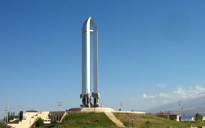
- Merkez: The city centre, the view of Mount Ağrı, the 43.5-metre monument and museum, apricot orchards and the Iğdır Plain.
- Tuzluca: Rock-salt deposits and salt galleries open to visitors; the Aras valley.
- Aralık: A district at the foot of Mount Ağrı and Little Ağrı (Küçük Ağrı), opening onto the Dilucu Border Gate.
- Karakoyunlu: Villages of the plain and the northern foothills of Mount Ağrı.
Suggested Itineraries
Day 1 — Centre and the plain: In the morning, a viewpoint from which to watch the northern face of Mount Ağrı; then the city centre and the monument. In the afternoon, apricot orchards; in the evening, bozbaş and taş köfte.
Day 2 — Tuzluca and Aralık: The salt galleries at Tuzluca; then on to Aralık for views in which Ağrı and Little Ağrı appear together, and the Aras valley on the road to Dilucu.
Climbing Mount Ağrı: Climbs are usually made from the Doğubayazıt (Ağrı) side, with a permit and a guide; the northern face on the Iğdır side is technically much more difficult.
Iğdır Cuisine
Iğdır cuisine carries traces of Azerbaijani and Eastern Anatolian cooking. Products with a registered geographical indication are: the sweet and aromatic Iğdır kayısısı (apricots), Iğdır beyaz üzümü (Miskalı) (white grapes), Iğdır bozbaş yemeği, cooked with chickpeas, meat and vegetables, Iğdır taş köfte yemeği, Iğdır omaç aşı çorbası and Iğdır patlıcan reçeli (aubergine jam). The plain’s melons and peaches are also famous; apricots are dried and eaten throughout the winter.
Practical Tips
- Entry to some areas in the border zone may be restricted; watch for military-zone signs and heed warnings when taking photographs.
- Climbing Mount Ağrı requires a permit obtained in advance and a licensed guide.
- In summer daytime temperatures exceed 33 °C and the air is very dry; drink plenty of water.
- Choose July for fresh apricots; dried apricots are available all year.
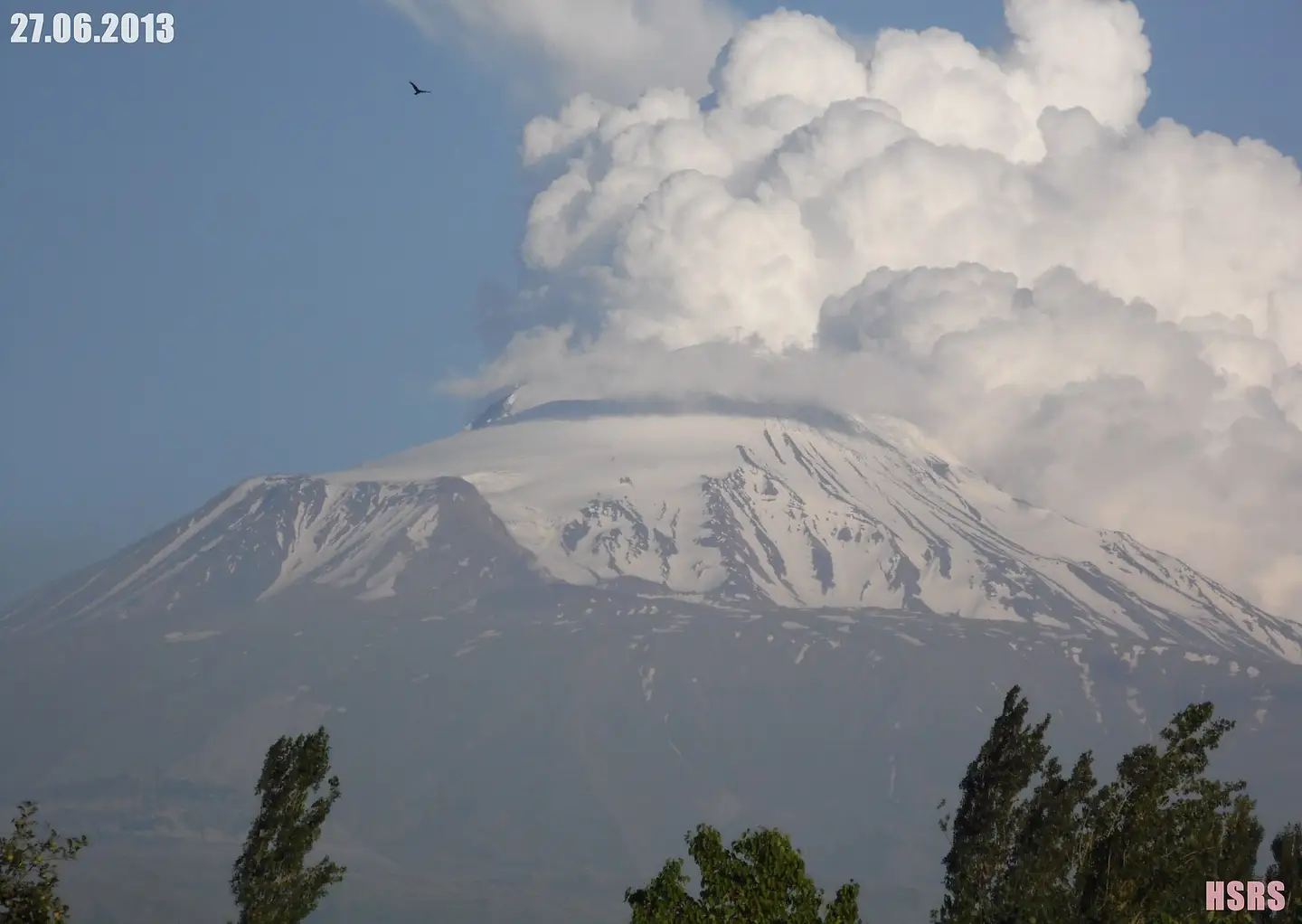
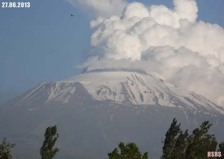 Photo: mhasras (CC BY 3.0) · Source