11 places to visit in the Şenpazar district of Kastamonu: Şehriban Canyon, Değirmenbaşı Spring and Şenpazar Plateaus. Plan your trip to Şenpazar with local food, practical tips and transport information.
Şenpazar is a district of Kastamonu Province in the Black Sea Region. The district covers 252 km², has an altitude of 373 m and a population of 4,083, and gained district status in 1987.
Etymology and Location
The name Şenpazar is thought to come from Şeyh Şir Ali Bani, one of the first people to settle in the region. In the period of the Candaroğulları Principality, Şeyh Şir Ali Bani, who came from Central Asia, settled in the region, which was named “Şehribani” and later pronounced “Şarabana”. The district is 100 km from Kastamonu city centre and 37 km from the Black Sea coast.
Geography and Climate
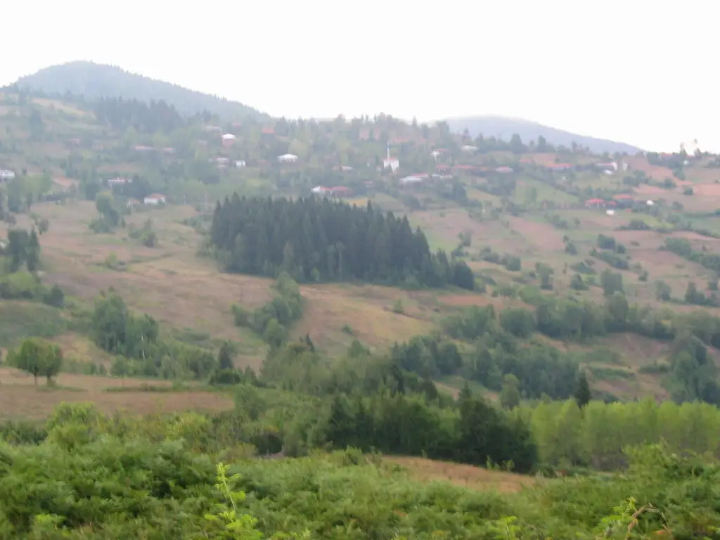
The district, in keeping with the geological structure of the Black Sea Region, is covered with young fold mountains and has rugged terrain. 70% of the district’s total area is covered by forest, with rich forest vegetation of tree species such as black pine, beech, oak and chestnut typical of the Black Sea. Şenpazar is under the influence of the typical Black Sea climate, with heavy rain in spring and autumn.
Natural Features
The district’s main natural resources are its forested areas, and the settlements are built along the valley formed by the Şenpazar Stream. The Şehriban Canyon, within the Şenpazar Stream, is a difficult canyon first crossed in 1997 by the ATLAS team.
History and Culture
The decision to make Şenpazar a district was taken in May 1987. A municipal organisation was established in Şenpazar in 1974. The name of the bucak (sub-district) was changed to Şenpazar following the 1968 decision of the Turkish Language Association.
Last updated: