9 places to visit in the Pınarbaşı district of Kastamonu: Ilıca Waterfall, Pınarbaşı Plateaus and Pınarbaşı Springs. Plan your trip to Pınarbaşı with local food, practical tips and transport information.
Pınarbaşı is a district of Kastamonu province. It gained district status in 1987. The district covers 546 km², lies at an elevation of 675 m and has a population of 5,782.
History and Archaeology
The area was successively under the Kaska, Cimmerians, Lydians, Iranians, Greeks, the Kingdom of Pontus and the Byzantine Empire. From 1460 onwards it came under Ottoman rule.
Geography
The district lies in the southern part of the Küre Mountains, in the north of Anatolia, known for its emerald-green forests, unrivalled canyons and caves, wooden houses and traditional way of life. Its main peaks are Kurtgirmez Dağı (1,338 m), Büyük Dağ (1,151 m) and Gavurharman Dağı (1,136 m). Forests cover 63% of the district. Coniferous trees are widespread at higher elevations, while meadow and maquis-like vegetation dominates the lower areas.
Natural Attractions
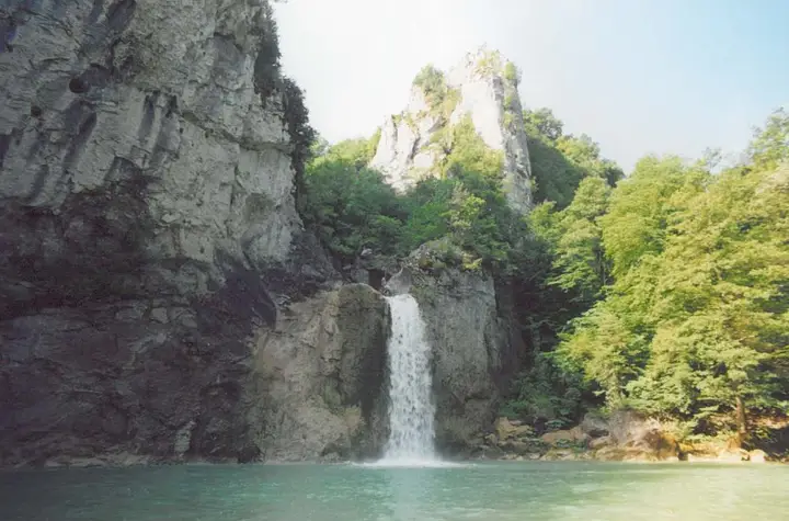
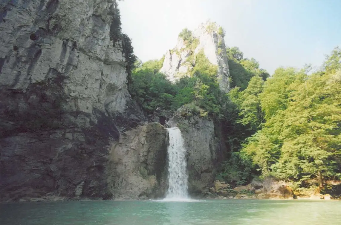
Valla Canyon is a formation 12 km long, with rock walls that in places rise to between 800 and 1,300 m. Ilıca Waterfall, in Ilıca Village, drops water from a height of 10 metres and is a natural waterfall surrounded by trees and vegetation. Horma Canyon, on the Zara Stream, is a canyon where people in earlier times cut water channels to run mills.
History and Culture
Pınarbaşı and its surroundings were successively ruled by many civilisations, and the region passed to the Ottoman Empire from 1460. Pınarbaşı became a district by a law dated 4 July 1987. Pınarbaşı is considered rich in historical remains.
Last updated: