Ferizli Forests
The natural vegetation cover consists of moisture-loving species that shed their leaves in winter. Beech, hornbeam and oak are common in the surrounding forests.
View on map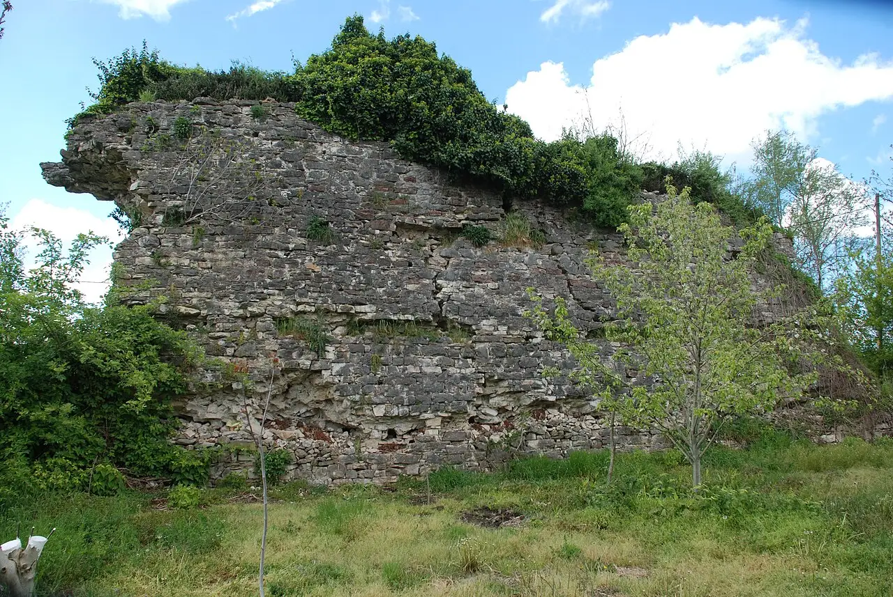 Photo: Acar54 (CC BY-SA 4.0) · Source
 5 places to visit in the Ferizli district of Sakarya: Ferizli Forests, Black Sea Coast and Ferizli Pond. Plan your trip to Ferizli with local food, practical tips and transport information.
It takes its name from Feriz or Feyzi Ağa, a local landowner.
It is recorded that around 1400–1406, Armenians from Sivas, fleeing Timur’s oppression, were settled here and the area was established as the Feriz or Feyzi Ağa Farm. The name used in Ottoman times, Firuzlu, gradually took its present form. In 1072, Artuk Bey defeated the Byzantines and the region came under Turkish rule. In 1324, it was conquered by Konur Alp and Akça Koca Bey, commanders of Osman Bey, and Ottoman rule began.
Ferizli district lies north of the Adapazarı Plain, east of the Kocaeli Plateau and west of the western Black Sea mountain extensions. The district centre sits at the confluence of the Sakarya River and the Göksu. It is about 25 km from Adapazarı. The district covers 173 km².
The district’s income is mainly based on farming. Hazelnuts, maize, sugar beet, wheat, fruit and vegetables are the main agricultural products. Iron ore, mostly used as a raw material for cement, is one of Türkiye’s important deposits, ranked 2nd.
In 1973, Ferizli, whose population exceeded 2,000, established a municipal administration. In 1990, the town was made a district centre under Law No. 3644. Ferizli was included in the Adapazarı Metropolitan Municipality by Decree Law No. 593.
Seyifler Castle is located in Seyifler village, north of Ferizli district, at the point where the Sakarya River comes close to the Çark Stream. The castle was built in the Byzantine period at a strategic point, measuring about 80 × 80 metres.
Last updated:
The natural vegetation cover consists of moisture-loving species that shed their leaves in winter. Beech, hornbeam and oak are common in the surrounding forests.
View on mapThe pond near the district is a quiet natural area favoured for angling and picnics. The wooded area around it offers walking opportunities.
View on map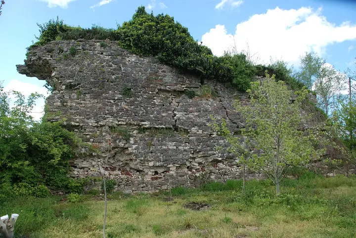 Photo: Acar54 (CC BY-SA 4.0) · Source
 A small Byzantine-period castle of about 80 × 80 metres, built on the Black Sea–Adapazarı road near the Sakarya River and the Çark Stream.
View on mapSaid to be the largest lake within the district boundaries. It lies on the shore of Gölkent town, and part of it is within the borders of Karasu.
View on mapWhile you are in Ferizli, you can also see the highlights of Sakarya province. These places are in other districts.
Sakarya's traditional ıslama köfte is also common in Ferizli. The meatballs are dipped in tomato sauce and served with piyaz.
Made from fresh corn, this soup is a traditional autumn favourite in Ferizli.
Festivals held after the harvest in Ferizli's villages are celebrated with traditional music and food.
Ferizli's economy is based on farming and livestock. Hazelnuts and maize are the main agricultural products. The district has small-scale industry and trade.
Ferizli is 25 km from Adapazarı. It is close to the TEM motorway. Sabiha Gökçen Airport is about 120 km away.
Top 5 places in Ferizli: Ferizli Forests, Black Sea Coast, Ferizli Pond, Seyifler Castle and Akgöl.
Islama Köfte and Mısır Çorbası are the highlights on Ferizli's tables.
Ferizli is known for hazelnuts and its village festivals. Hazelnut farming is an important source of livelihood in Ferizli. The district's climate and soil suit hazelnut cultivation.
Ferizli is 25 km from Adapazarı. It is close to the TEM motorway. Sabiha Gökçen Airport is about 120 km away.
Suggested visit length: half a day. Best time to visit: spring and summer.