Hendek Forests
Extensive forest areas in the south of the district, covered with oak, beech and chestnut trees. There are suitable trails for walking and picnicking.
View on map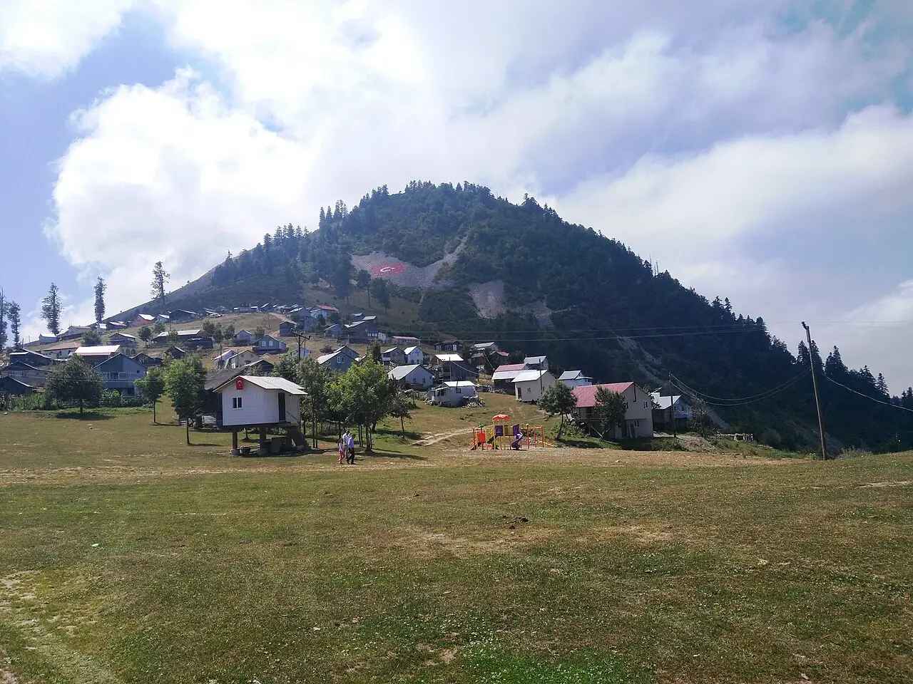 Photo: Acar54 (CC BY-SA 4.0) · Source
 6 places to visit in the Hendek district of Sakarya: Hendek Forests, Hendek Bazaar and Dikmen Plateau. Plan your trip to Hendek with local food, practical tips and transport information.
Hendek is a district with a very small part within the Black Sea Region and a larger part within the Marmara Region. Hendek district consists of 92 neighbourhoods. The district covers 646 km², and the average altitude of the district centre is 177 metres above sea level.
In the Eastern Roman Empire, Hendek lay on the route between Istanbul and Anatolia and is recorded in sources as Lateas. In the 12th century, some Turkic tribes who migrated from the Gürcan region of Turkestan gave it the name Handok, which over time became Hendek. After the Ottoman–Russian War of 1877–1878, many migrants from the Caucasus, lost to the region, were settled there. After this event the population of the area grew and it was raised from village to sub-district (nahiye) status. Hendek, which established its first municipal organisation in 1907, became a kaza (subdistrict) of Kocaeli after the Republic was proclaimed, and it gained district status when Sakarya became a province on 21 June 1954.
The district lies on the D-100 highway, 170 km from Istanbul, 275 km from Ankara and 30 km from Adapazarı; the TEM Motorway also passes to its south.
In records the district is named Lateas. In the reign of Suleiman the Magnificent, Hendek was a village. As the population of the region grew, it was raised from village status to sub-district (nahiye) status.
Last updated:
Extensive forest areas in the south of the district, covered with oak, beech and chestnut trees. There are suitable trails for walking and picnicking.
View on mapThe historic bazaar in the district centre, with shop buildings from the Ottoman period, reflects the traditional trading culture.
View on map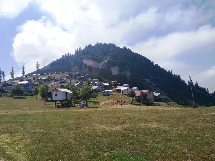 Photo: Acar54 (CC BY-SA 4.0) · Source
 A plateau in the high parts of Hendek, preferred in the summer months for its cool air and natural scenery as a place to rest.
View on mapA picnic area in Hendek, which is said to have been turned into a natural national park through improvements.
View on mapA tomb on Keremali Mountain, near Göksu village; Keremali Dede events are held once a year.
View on mapWhile you are in Hendek, you can also see the highlights of Sakarya province. These places are in other districts.
Islama köfte, a traditional flavour of Sakarya, is also commonly eaten in Hendek. Meatballs dipped in tomato sauce are served with pide bread.
Chestnut candy, made from chestnuts gathered in the Hendek forests, is an important part of the district's sweet culture.
The cultural traces of migrants from the Caucasus and the Balkans are kept alive in Hendek. The kitchen and traditions of the different communities form a mosaic unique to the district.
The economy of Hendek is based on hazelnut farming and forestry. Chestnut production and livestock farming are additional sources of income. There is a small industrial estate and commercial activity in the district.
Hendek is 35 km from Adapazarı. The Bolu–Sakarya road passes through the district. There is a connecting road to the TEM motorway.
The highlights of Hendek are 6 places: Hendek Forests, Hendek Bazaar, Dikmen Plateau, Bayraktepe, Selman Dede Picnic Area and Keremali Dede Tomb.
Islama Köfte and Kestane Şekeri are the standout dishes on Hendek's tables.
Hendek is known for Hazelnuts and Migrant Cultures. Hendek is one of Sakarya's important hazelnut-producing districts. The Tombul hazelnut variety stands out.
Hendek is 35 km from Adapazarı. The Bolu–Sakarya road passes through the district. There is a connecting road to the TEM motorway.
Suggested visit: half a day. Best time to visit: spring and autumn.