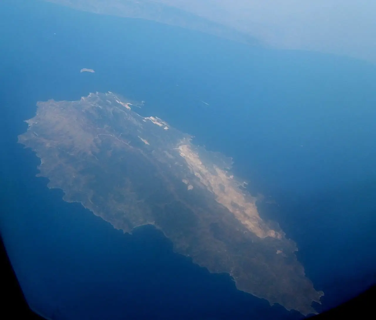
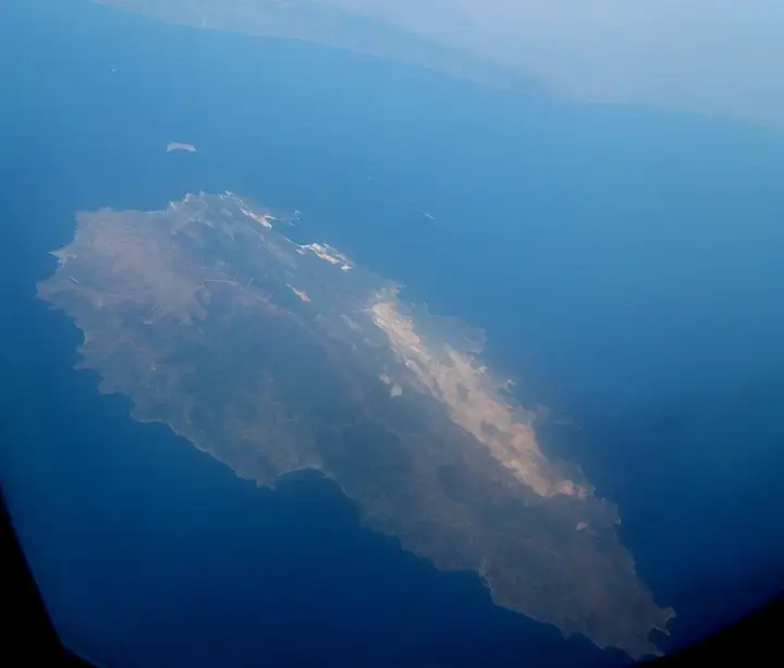
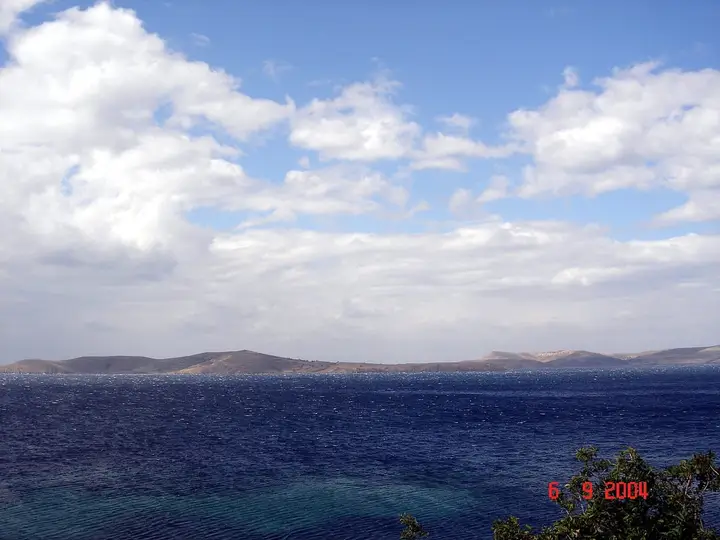
Marmara is a district of Balıkesir province. It covers Marmara Island and the smaller islands around it.
Geography
The Marmara Islands lie in a shallow stretch of the Sea of Marmara, southwest of the Kapıdağ Peninsula and between it and Şarköy. Marmara Island, the largest of the islands in the Sea of Marmara, covers an area of around 110 km².
History
The first settlement on the island was founded in antiquity by the Milesians. The island, known in antiquity as Prokonnesos, was bound together with Kyzikos in the Delian League.
Economy
Marble, the natural feature that shapes the island, has been an important export product from prehistoric times to the present day. Fishing is the main source of livelihood.
History and Culture
The first settlement on Marmara Island was founded by the Milesians in antiquity. The ancient name of the island is Prokonnesos. In the Ottoman period, marble used in mosques and palaces was supplied from here. Marmara became a district on 4 July 1987.
Key Facts
On Marmara Island and the other islands, houses and other properties left by the Greeks were settled by migrants from Crete and families from the Black Sea region. In the years before the First World War, the harbours of Marmara, Prastos and Asmalı were regular stopping points for ships flying the flags of various nations.