3 places to visit in the Hayrat district of Trabzon: Ziyaret Hill, Hayrat Plateaus and Solaklı Valley. Plan your trip to Hayrat with local food, practical tips and transport information.
Description
Hayrat is a district of Trabzon province. It lies 11 km from the Black Sea coastline. The average elevation of the district centre above sea level is 176 metres. The district covers an area of 244 km².
History
After the Empire of Trebizond, Hayrat was incorporated into Ottoman territory with the conquest of Trabzon by Fatih Sultan Mehmet. Occupied by Russians during the First World War, Hayrat was liberated from occupation by Turkish forces on 28 February 1918. In 1969 Hayrat gained municipal status as a neighbourhood attached to Of, and on 20 May 1990 it gained district status.
Geography
The terrain is very rugged, consisting of rows of parallel small hills known as ‘kıran’. The highest of these hills is Ziyaret Hill, at 3,000 m.
Economy
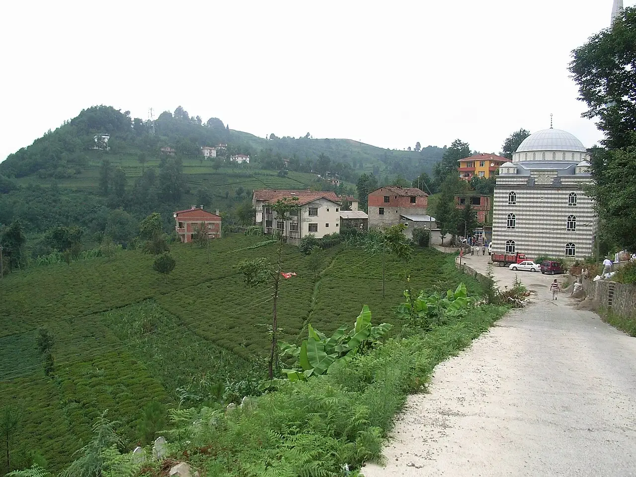
Economic life in Hayrat is largely based on tea growing, although some livestock farming and forestry are also practised. The area under tea cultivation is 2,380 hectares, hazelnut orchards cover 165 hectares, fields 426 hectares, vegetable land 20 hectares and forest land 9,154 hectares. Around 250 workers and civil servants are employed here.
History and Culture
Hayrat gained district status in 1990. In 1931, Hayrat became a subdistrict attached to the district of Of.
Last updated: