Ahırlı Plateau
A highland plateau on the foothills of the Taurus Mountains. With its cool summer air and green meadows, it is an ideal place to rest for nature lovers.
View on map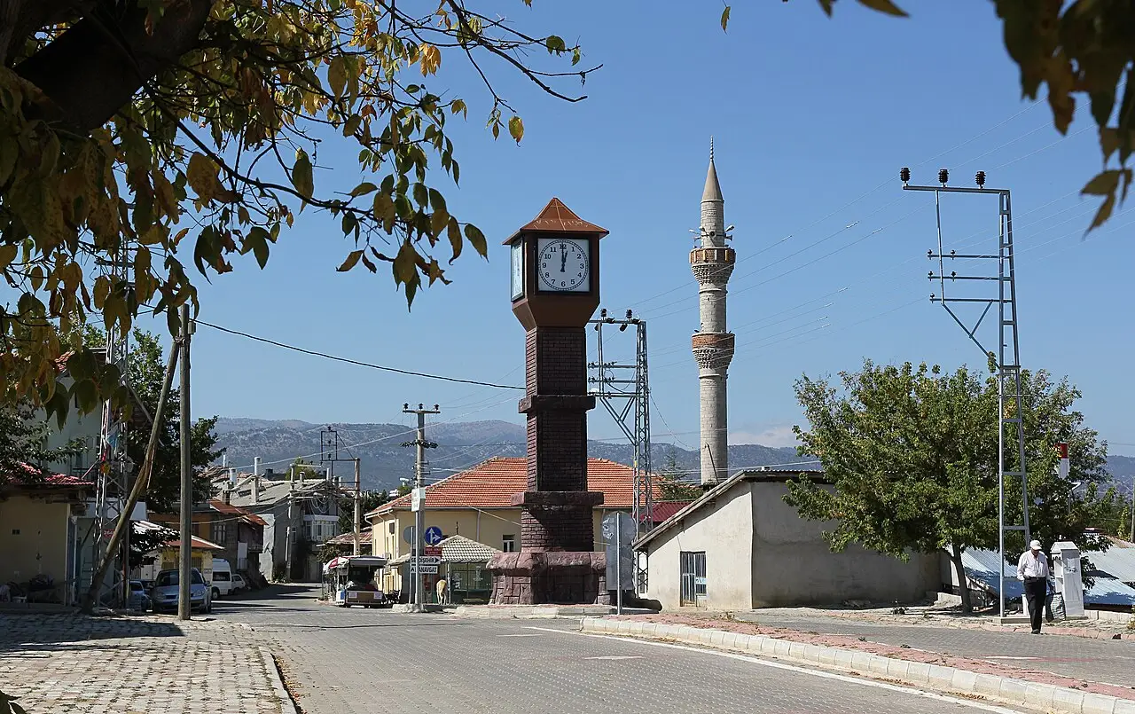 Photo: Ingeborg Simon (CC BY-SA 3.0) · Source
 3 places to visit in the Ahırlı district of Konya: Ahırlı Plateau, Ahırlı Central Mosque and Çarşamba Stream. Plan your trip to Ahırlı with local food, practical tips and transport information.
The district centre is located on the Seydişehir–Bozkır road, at an average elevation of 1,213 metres above sea level. The district’s land consists of undulating plains, and its economy is based on agriculture.
Ahırlı became a town on 7 February 1962 when it gained municipal status. On 9 May 1990, under Law No. 3644, it separated from Bozkır district and became a district.
The Çarşamba Stream is the main watercourse of the district. The main agricultural products are chickpeas and cereals. Vegetables and fruit are grown on the irrigable part of the lowland areas.
Ahırlı became a town on 7 February 1962 when it gained municipal status. Ahırlı, a sub-district of Bozkır, became a district in 1990.
Although there is little information about the district’s history, its history reaches back to around 2000 BC. During the Turkification of Konya, Turkish families from Central Asia (Khorasan) came to this region and settled. Ahırlı District lies between 37°14’ N latitude and 32°07’ E longitude.
Last updated:
A highland plateau on the foothills of the Taurus Mountains. With its cool summer air and green meadows, it is an ideal place to rest for nature lovers.
View on mapA mosque in the district centre, notable for its simple architecture. The building reflects the local architectural style and is important both religiously and culturally.
View on mapWhile you are in Ahırlı, you can also see the highlights of Konya province. These places are in other districts; Ahırlı is about 120 km from the provincial centre.
Ahırlı Köpük Helvası was registered as a protected geographical indication on 14 August 2024 (TÜRKPATENT registration no. 1629). Product group: bakery and pastry products, dough products, sweets. Registered by: Ahırlı District Directorate of Agriculture and Forestry.
Keşkek, made by simmering crushed wheat and meat for a long time and then pounding them together, is the traditional dish of wedding feasts.
Traditional bread baked in an earth tandır oven, still made in Ahırlı's villages.
Ahırlı, on the foothills of the Taurus Mountains, maintains the traditional mountain village way of life.
The economy of Ahırlı is based on agriculture and livestock farming. Wheat, barley and small livestock are the main sources of livelihood.
Ahırlı is 120 km from Konya city centre. Access is by road.
The 3 highlights of Ahırlı are: Ahırlı Plateau, Ahırlı Central Mosque and Çarşamba Stream.
Ahırlı Köpük Helvası, Keşkek and Tandır Ekmeği are the standout flavours on Ahırlı's tables.
Ahırlı is known for Wheat and Barley and the Mountain Village Way of Life. Dryland crops are Ahırlı's main agricultural products.
Ahırlı is 120 km from Konya city centre. Access is by road.
Suggested visit length: half a day. Best time to visit: summer months (June-August).