7 places to visit in the Karapınar district of Konya: Meke Lake, Acı Lake and Meke Lake (Meke Salt Flat). Plan your trip to Karapınar with local food, practical tips and transport information.
Karapınar is a district of Konya province in Türkiye. With an area of 2,623 km², it is one of Konya’s large districts. The district centre lies at an altitude of 994 metres above sea level. It is 94 km east of the provincial centre.
History
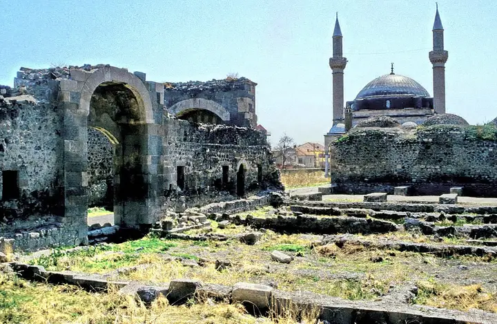
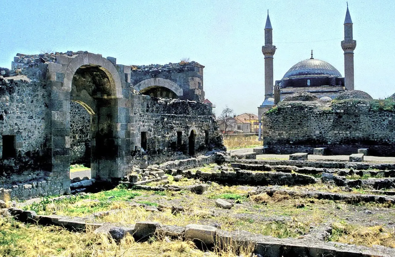
Historically, it was an important stopping point between Ulukışla, Ereğli and Konya. After a caravanserai was built here in the time of Yavuz Sultan Selim, it took the name Sultaniye. On 19 July 1934 its name was changed to “Karapınar”.
Geography
The Meke Salt Flat is located in this district. Karapınar’s soils have a lime content of up to 60%. The district has many sinkholes and crater lakes. Situated on a plain, the district is known for its crater lakes, which have no equal anywhere in the world.
Prevention of Erosion
The largest wind erosion control area in the world was carried out on the Karapınar sand dunes in this district. The project started in 1962 and was completed in 1999. It is considered one of the 10 most successful projects implemented anywhere in the world.
Economy
The Karapınar Coal Field, which has reserves of 1.8 billion tonnes of lignite, is located in the district. The Karapınar Solar Power Plant, the largest solar power plant in Türkiye, is also located in the district.
History and Culture
Karapınar was an important stopping point between Ulukışla, Ereğli and Konya. In the time of Yavuz Sultan Selim a caravanserai was built here and the settlement took the name Sultaniye.
Last updated: