Gaziosmanpaşa Parks
Parks and green spaces in the district's dense urban fabric offer places to walk and relax.
View on map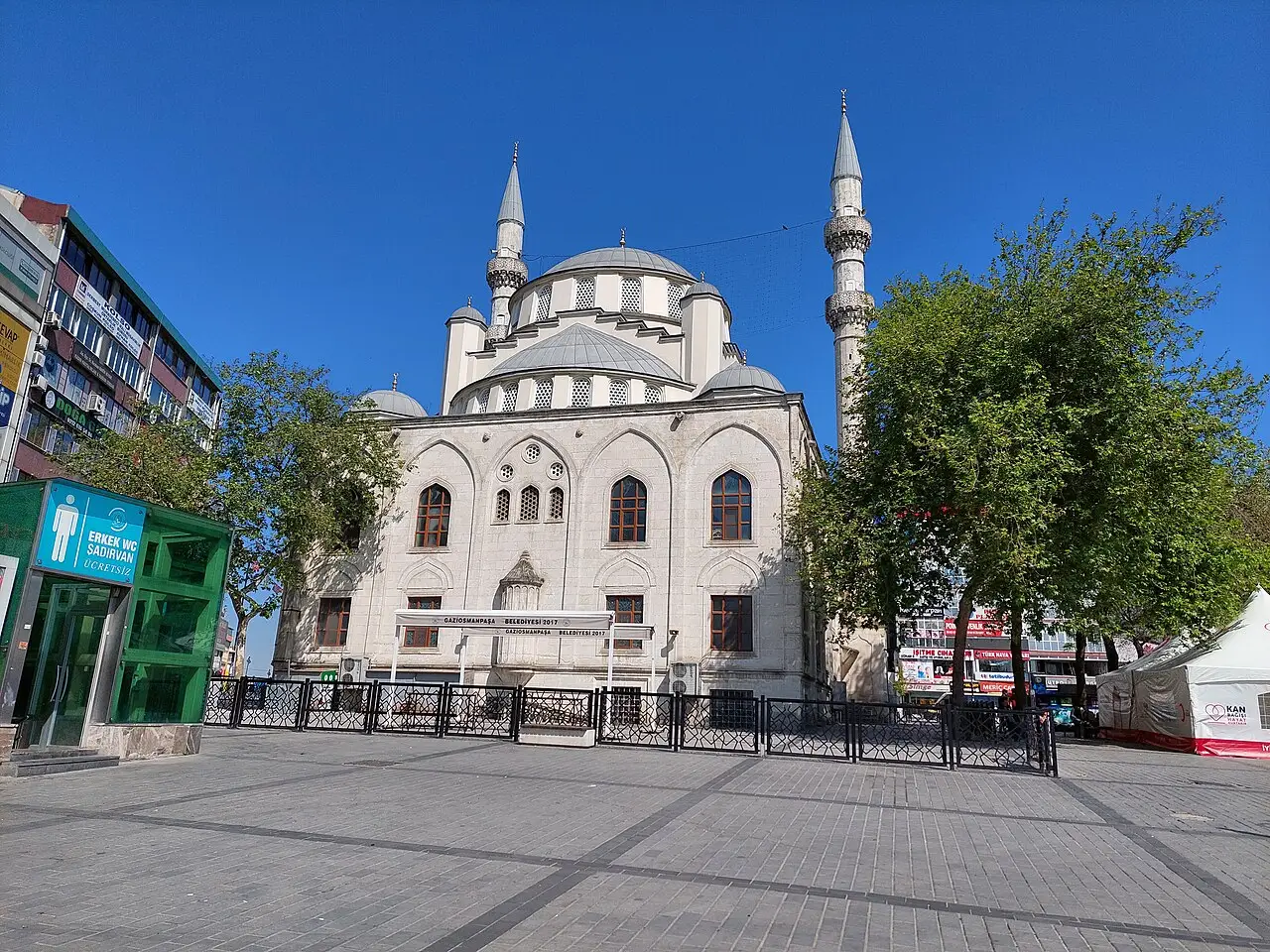
3 places to visit in the Gaziosmanpaşa district of Istanbul: Gaziosmanpaşa Parks, Urban Transformation Projects and Taşlıtarla. Plan your trip to Gaziosmanpaşa with local food, practical tips and transport information.
Gaziosmanpaşa is a district of Istanbul province. It was previously known as Taşlıtarla and Küçükköy. It developed after the 1950s and became a district in 1963. The district covers an area of 12 km², has an average elevation of 108 metres above sea level and a population of 478,395.
Gaziosmanpaşa borders Bayrampaşa, Esenler, Eyüpsultan and Sultangazi. Under a new law in 2008, Arnavutköy and Sultangazi gained district status, and Gaziosmanpaşa’s population fell considerably as a result.
The district area was formerly part of the boundaries of Eyüpsultan and Çatalca districts. The lands in the south-east where the district centre stands today were empty until the 1950s, and because they were arid and stony within Eyüp district boundaries they were commonly called Taşlıtarla. In 1952 the story of Taşlıtarla began with houses built by the state for Balkan migrants, and from the 1960s onwards it gained great momentum as industry shifted to Rami and Eyüp. It became a district on 4 September 1963, under number 11496 and Law No. 309.
The best indicator of Gaziosmanpaşa’s urban growth is the population growth of the district, which increased 165-fold between 1935 and 1997. The district’s population rose from 3,847 in 1935 to 635,000. With the opening of the T4 tram line and the M7 metro line it also gained modern transport, and it became the district that received the most migrants.
The economic life of Gaziosmanpaşa is based mainly on small tradesmen and outsourced production. In the district centre, 60% of the economically active population works in small trades.
Gaziosmanpaşa became a district in 1963. Under the 2008 law, Arnavutköy and Sultangazi became districts.
Last updated:
Parks and green spaces in the district's dense urban fabric offer places to walk and relax.
View on mapGaziosmanpaşa is one of the districts where Istanbul's most extensive urban transformation projects have been carried out. Modern housing and commercial areas are changing the face of the district.
View on mapWhile you are in Gaziosmanpaşa, you can also see the highlights of Istanbul province. These places are in other districts.
Tradesmen's restaurants in Gaziosmanpaşa serve traditional Turkish home cooking at affordable prices.
Gaziosmanpaşa is one of the districts where families who migrated from the Balkans settled from the 1950s onwards. This migrant heritage has shaped the district's cultural identity.
Gaziosmanpaşa is one of the densely populated residential centres on the European side of Istanbul. Textiles, trade and urban transformation projects are its main economic activities.
Gaziosmanpaşa is connected to every part of Istanbul by bus and minibus lines.
The top 3 sights in Gaziosmanpaşa are Gaziosmanpaşa Parks, Urban Transformation Projects and Taşlıtarla.
Tradesmen's Restaurant Dishes are standout dishes on Gaziosmanpaşa's tables.
Gaziosmanpaşa is known for its Textiles and Ready-to-wear Clothing and Balkan Migrant Culture. Gaziosmanpaşa is one of the major centres of Istanbul's textile and ready-to-wear clothing sector.
Gaziosmanpaşa is connected to every part of Istanbul by bus and minibus lines.
Suggested visit length: half a day. Best time to visit: all year round.