 Photo: Wikipedia (CC BY-SA) · Source
 7 places to visit in the Sarıyer district of Istanbul: Rumeli Hisarı, Belgrad Forest and Sakıp Sabancı Museum. Plan your trip to Sarıyer with local food, practical tips and transport information.
General Information
Sarıyer is a district on the European side of Istanbul province. The district covers 177 km² and has a population of 344,883. It is bordered by Beşiktaş and Kâğıthane to the south, the Eyüpsultan districts to the west, the Bosphorus to the east and the Black Sea to the north.
Etymology
The first name of the district was Simas, and there are different accounts of the origin of the name Sarıyer. The most consistent assumption is that, because the ridges to the north-west of Sarıyer, towards the Maden Neighbourhood, are yellow owing to gold ore and clay, the settlement was named Sarıyar, meaning “yellow shore”.
History
It is known that some settlement areas within the boundaries of Sarıyer district have been inhabited since the Byzantine period, and as their residents made their living from fishing, these settlements were fishing villages. Following an administrative reorganisation in 1930, the present-day Sarıyer District was established by Law No. 1612 of 1 September 1930, published in the Official Gazette No. 1499 on 21 May 1930.
Geography
The district’s land consists of the ridge at the easternmost part of the Çatalca Peninsula, which descends on one side towards the Bosphorus and on the other towards the Black Sea to the north.
History and Culture
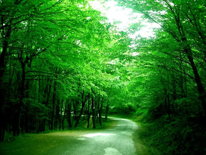
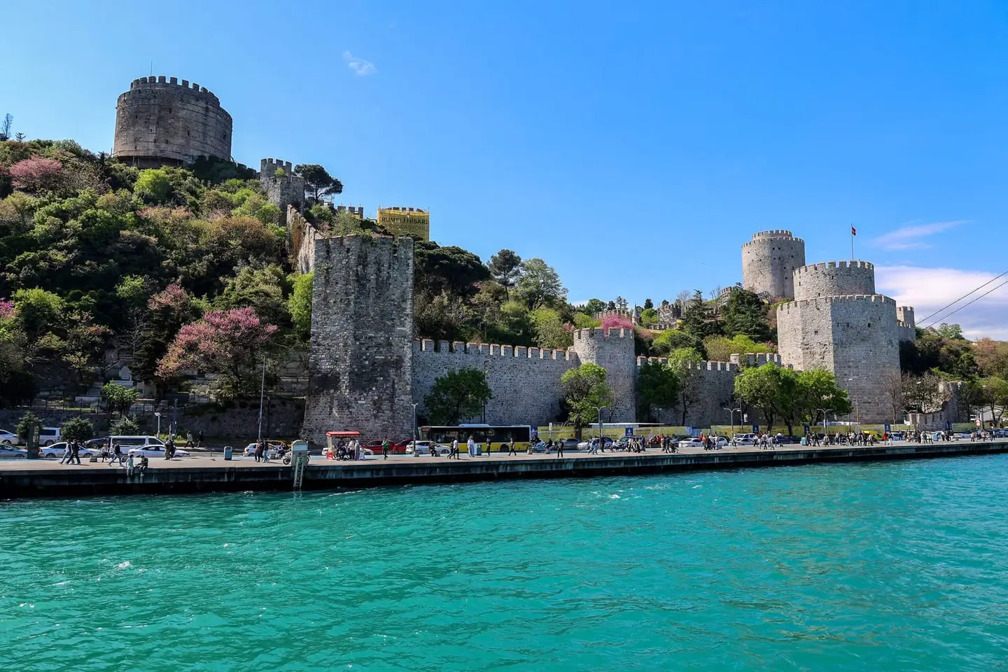
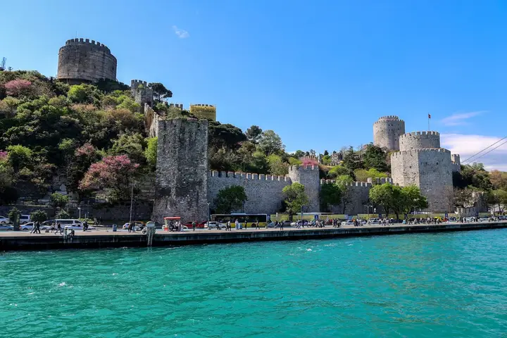
Sarıyer was established as a district by Law No. 1612 on 1 September 1930. Rumeli Hisarı was built by Fatih Sultan Mehmet in 1452. Sarıyer is a district that attracts tourists with its historic structures and natural wealth.
Last updated: